
I’ve done a lot of these walks—this is the 35th, believe it or not—and yet the delights keep coming. In fact, this one is among my very favorites, in good part because it explores a half dozen dead-end streets you’re unlikely to ever drive on. (Then again, that could also describe the last walk, about Las Alturas and its offshoots.) Google Maps considers the area in question to be part of the Eastside, and I imagine many people would call it the Lower Riviera, but it feels like neither—or maybe a bit of both—to me.
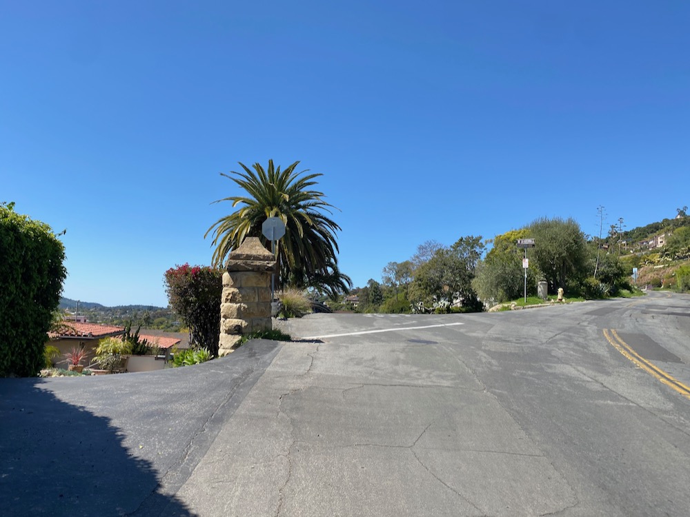
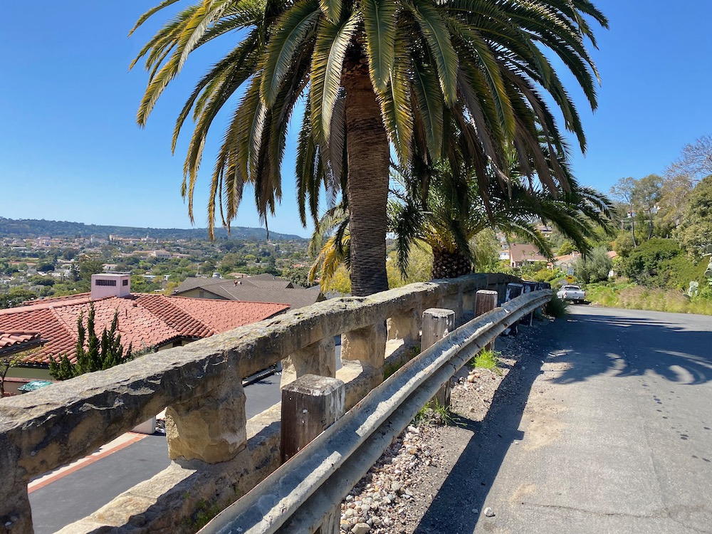
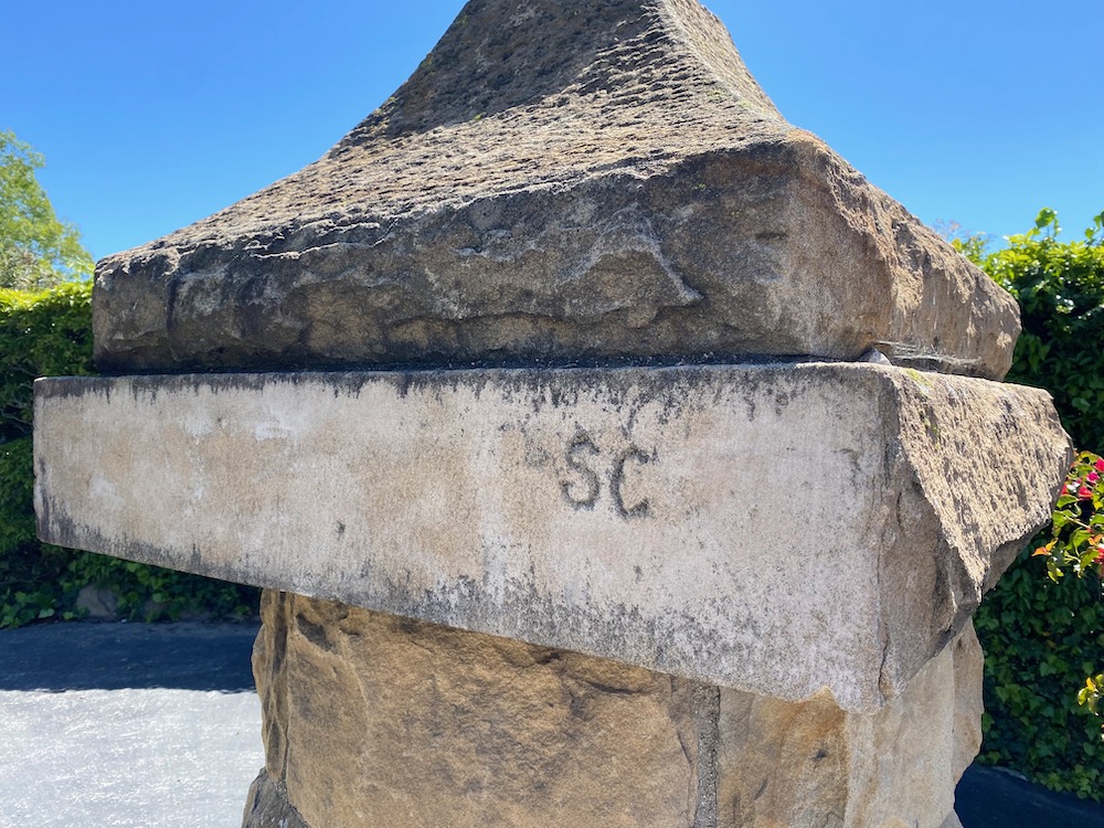
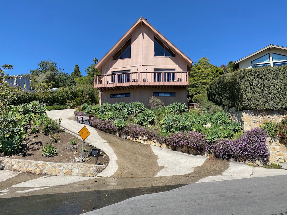
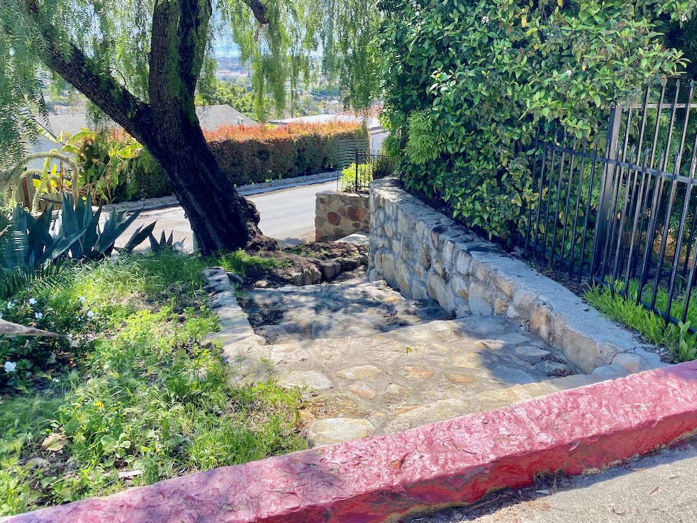
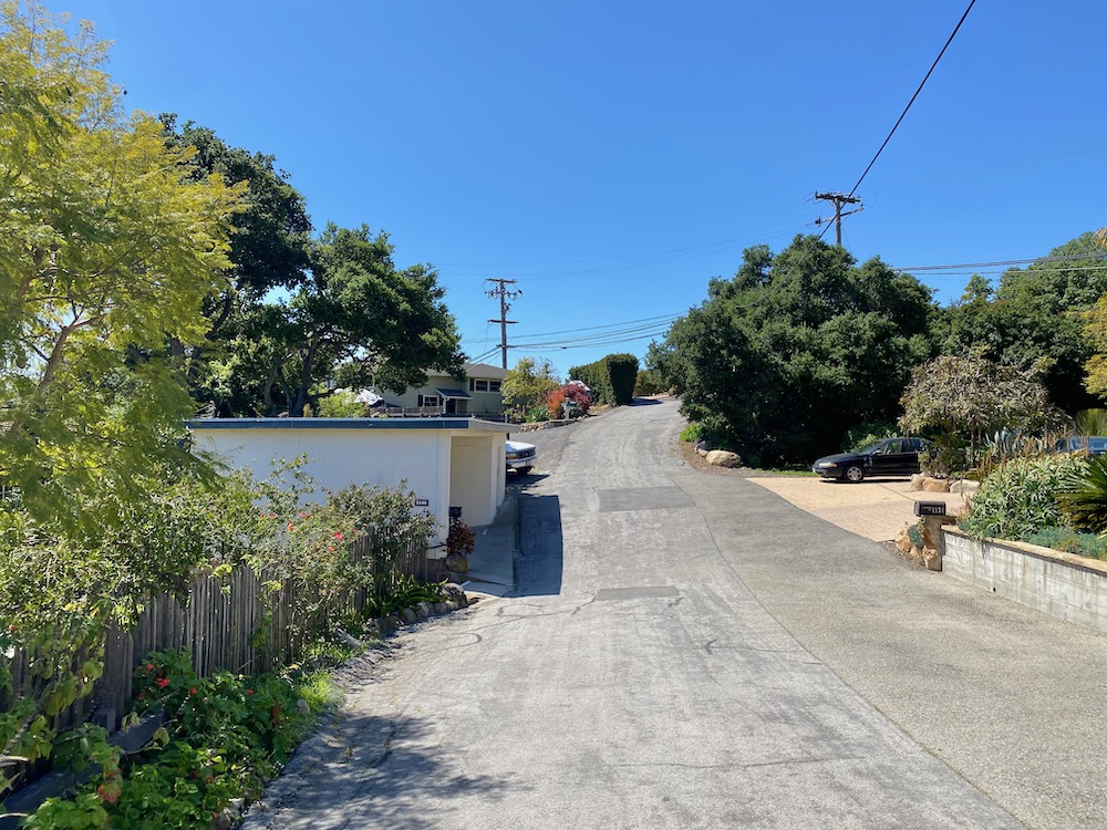
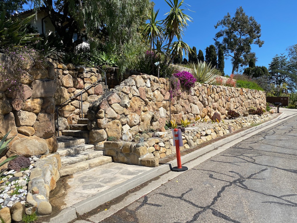
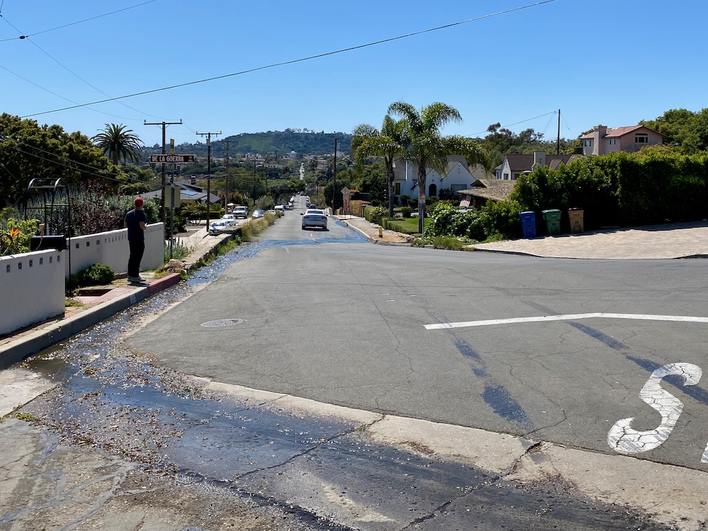
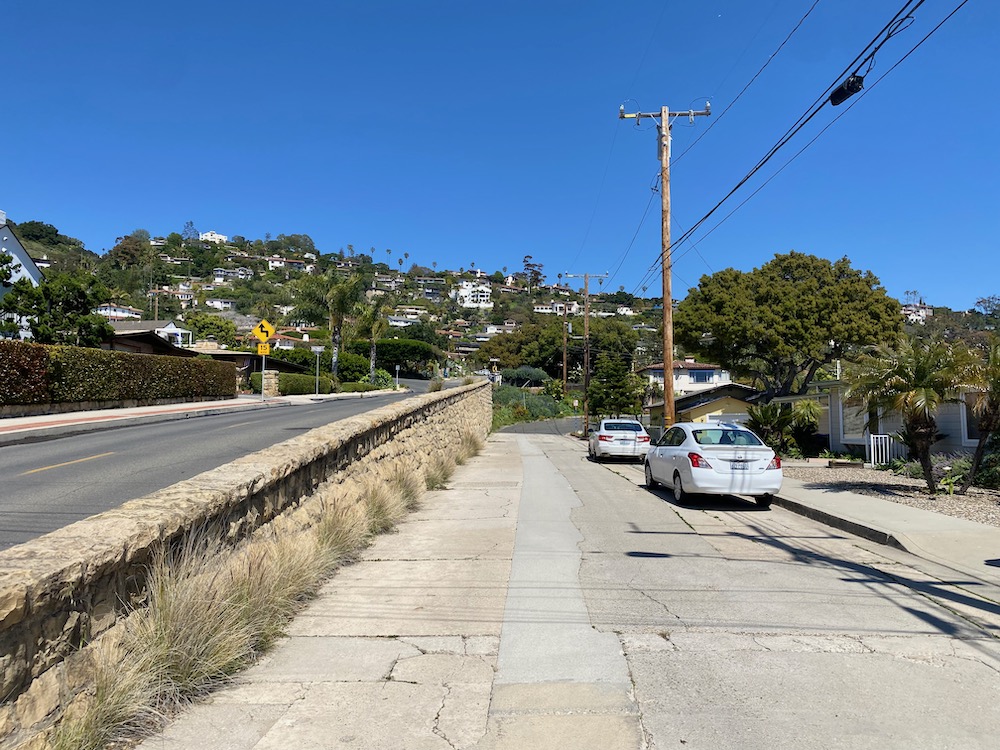
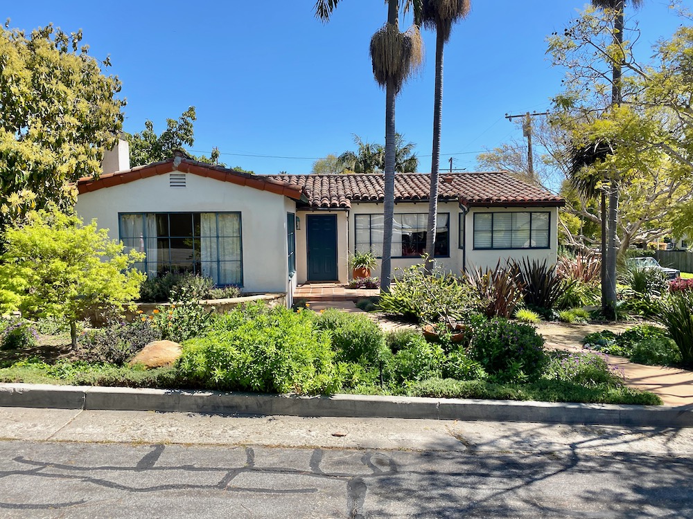
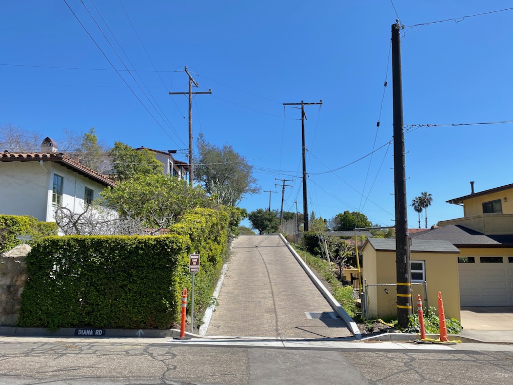
 My husband, Adam, and I were able to walk to the starting point of Alameda Padre Serra and De La Guerra Road, but due to the lack of parking, anyone driving there will want to start somewhere down the hill and hit the streets in a different order. Something I had never really paid attention to until we moved into a temporary rental nearby: as you can see in the first photo below, the south side of De La Guerra Road is on a lower plane than the street proper. A marvelous stone fence separates the two, with what look like old initials carved into the post.
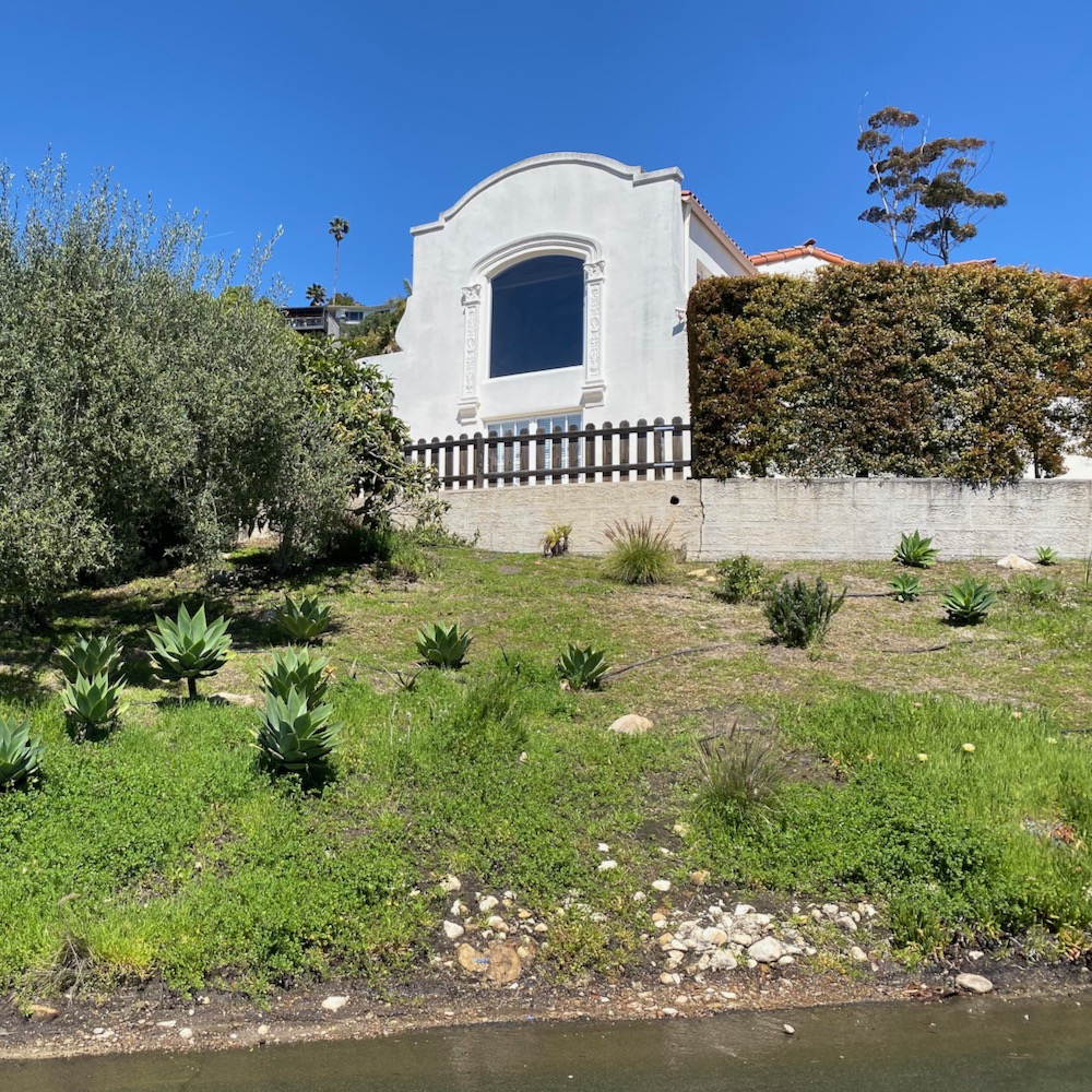
 “You have to take a photo of that window!” said Adam. It is indeed rather nice, although it calls to mind those one-eyed minions.
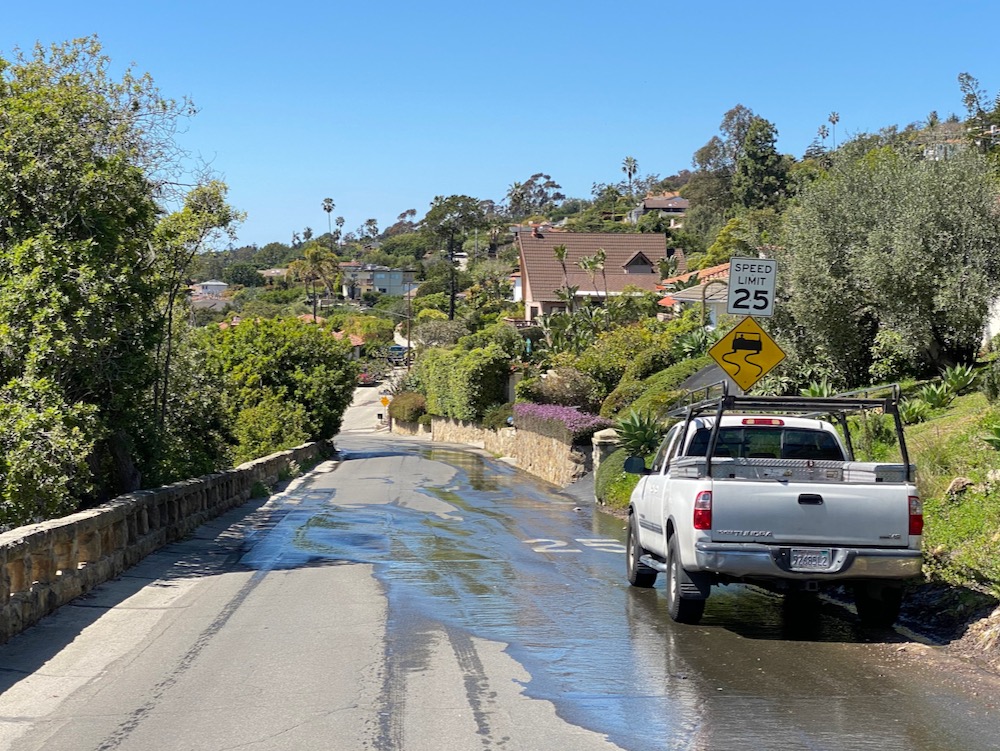
 Another thing I hadn’t been aware of till living nearby (and till we had insane amounts of rain): water courses down De La Guerra Road—here, there, and everywhere, including along people’s driveways and through spouts embedded in walls—for many days after a big storm. I’d be curious to know whether the flow was engineered according to some master plan or got cobbled together over time.
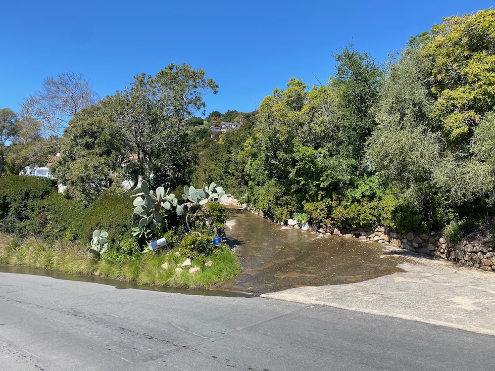
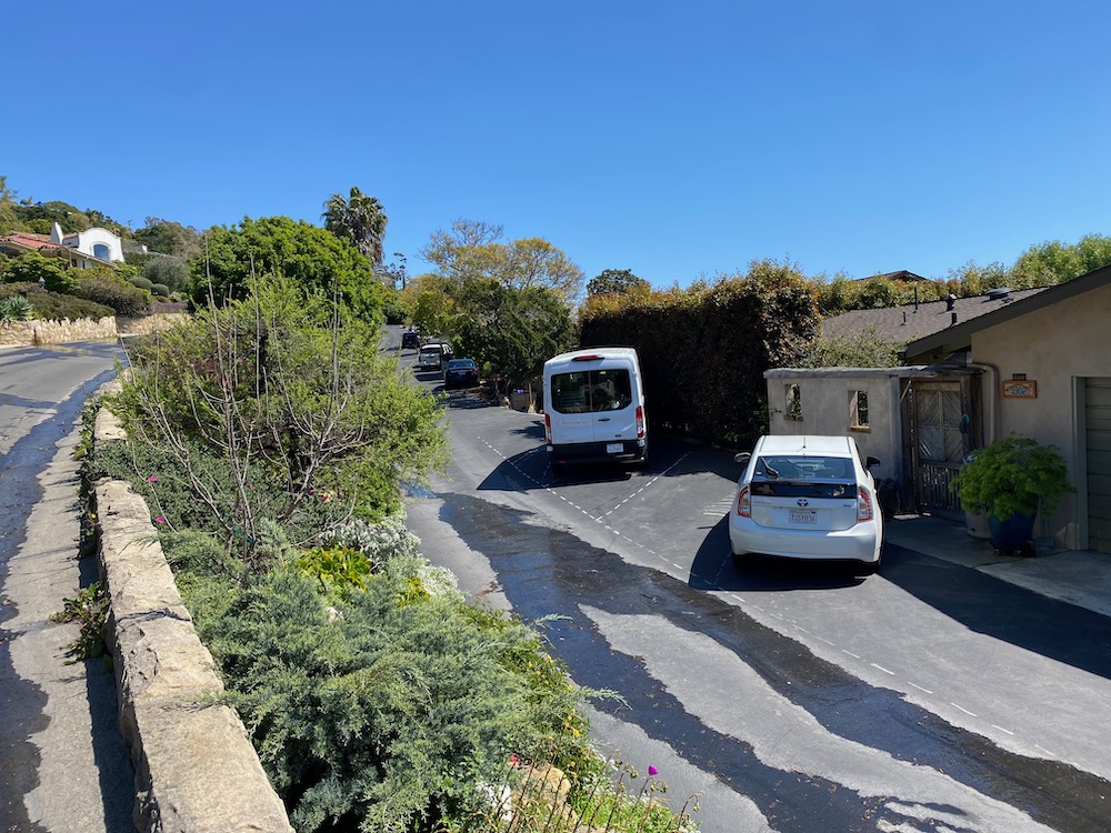
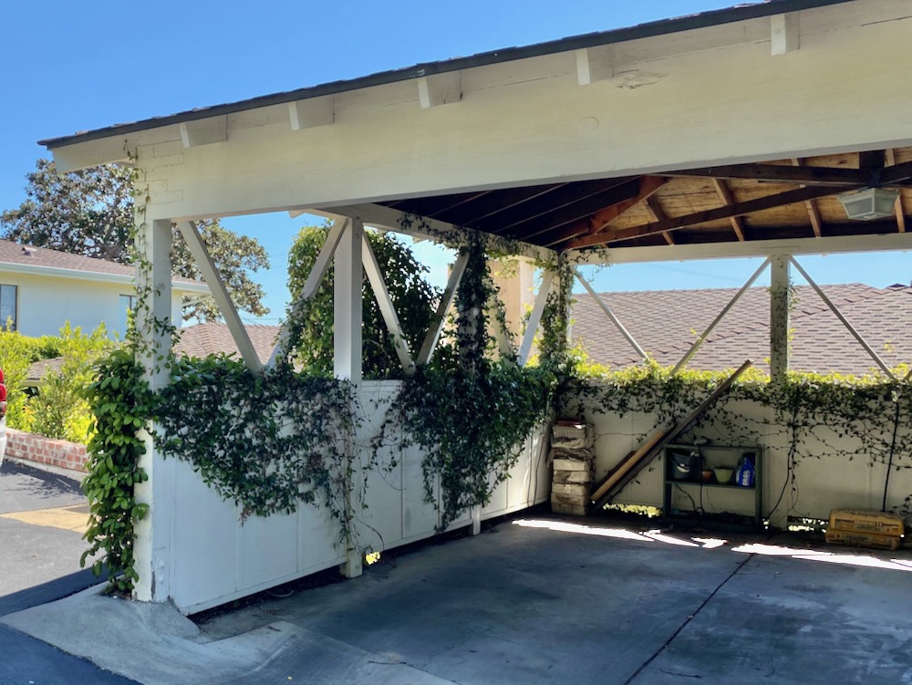
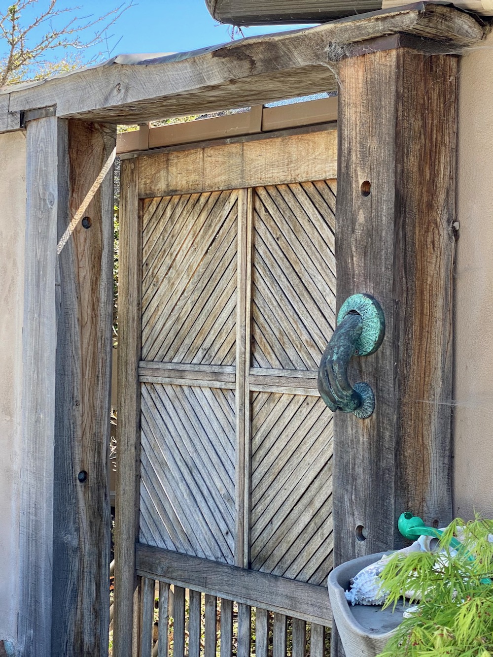
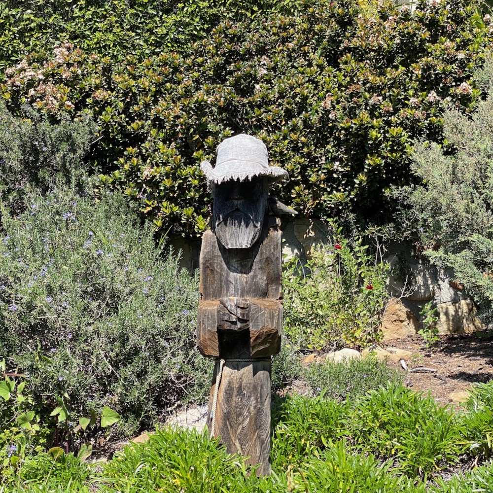
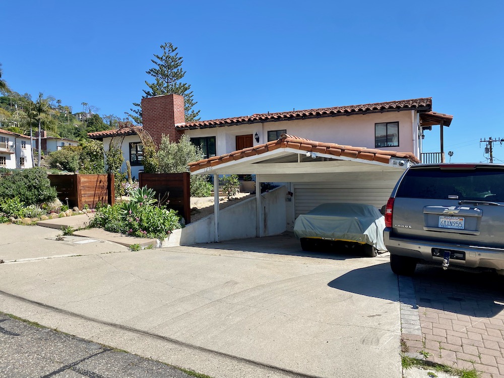
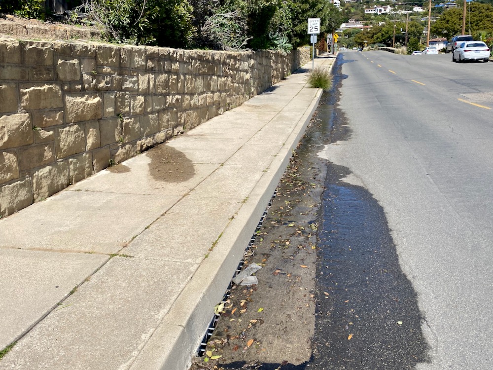
 Water also makes its way to the lower lane of De La Guerra Road, which is far more pleasant to stroll on than the main part of the street. I admired how the first homeowner designated parking spots in front of the house, a carport dressed up with vines, a fabulous door and its hand-shaped knocker (even if it looks like grabbing it would feel like a dead-fish handshake), and a wooden sculpture of an old salt. Several of the houses have stairs across the street—sometimes they appear to be to reach water meters, and other times they’re so a pedestrian can hop over to the main road.
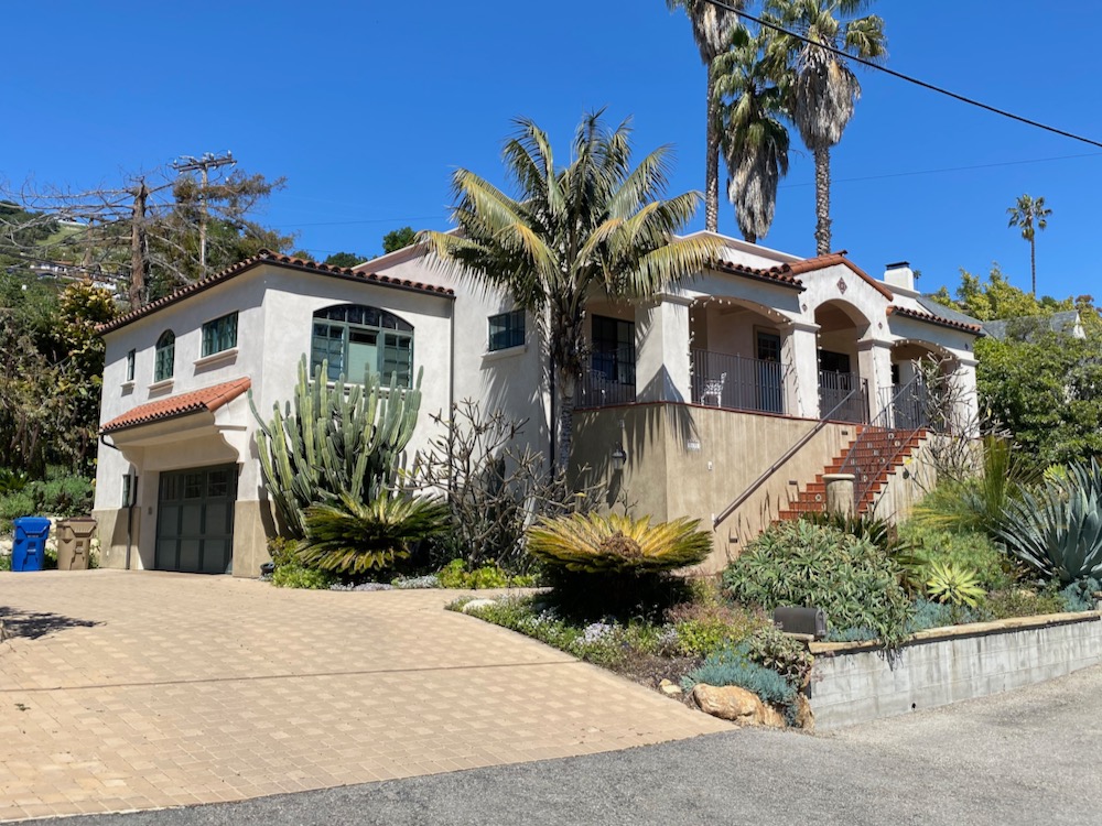
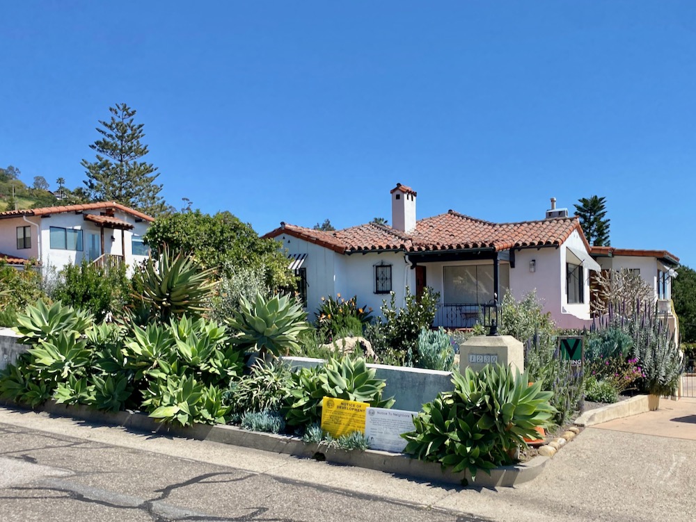
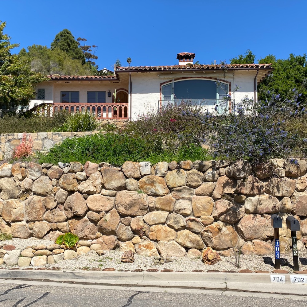
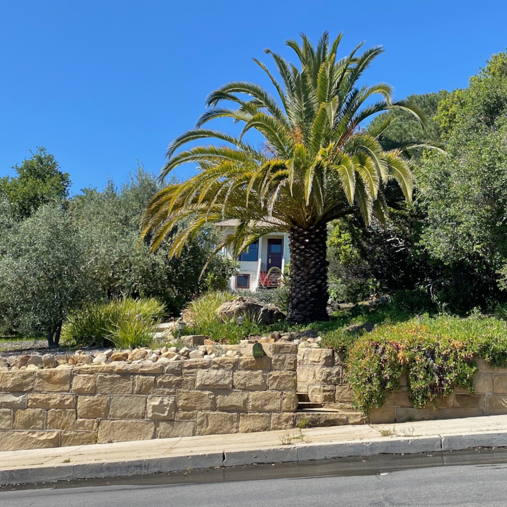
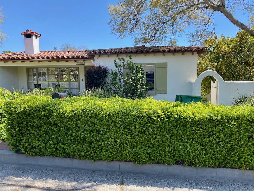
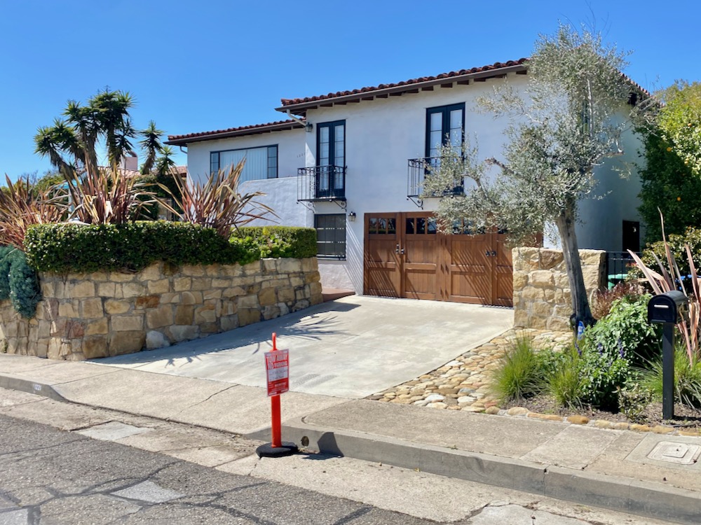
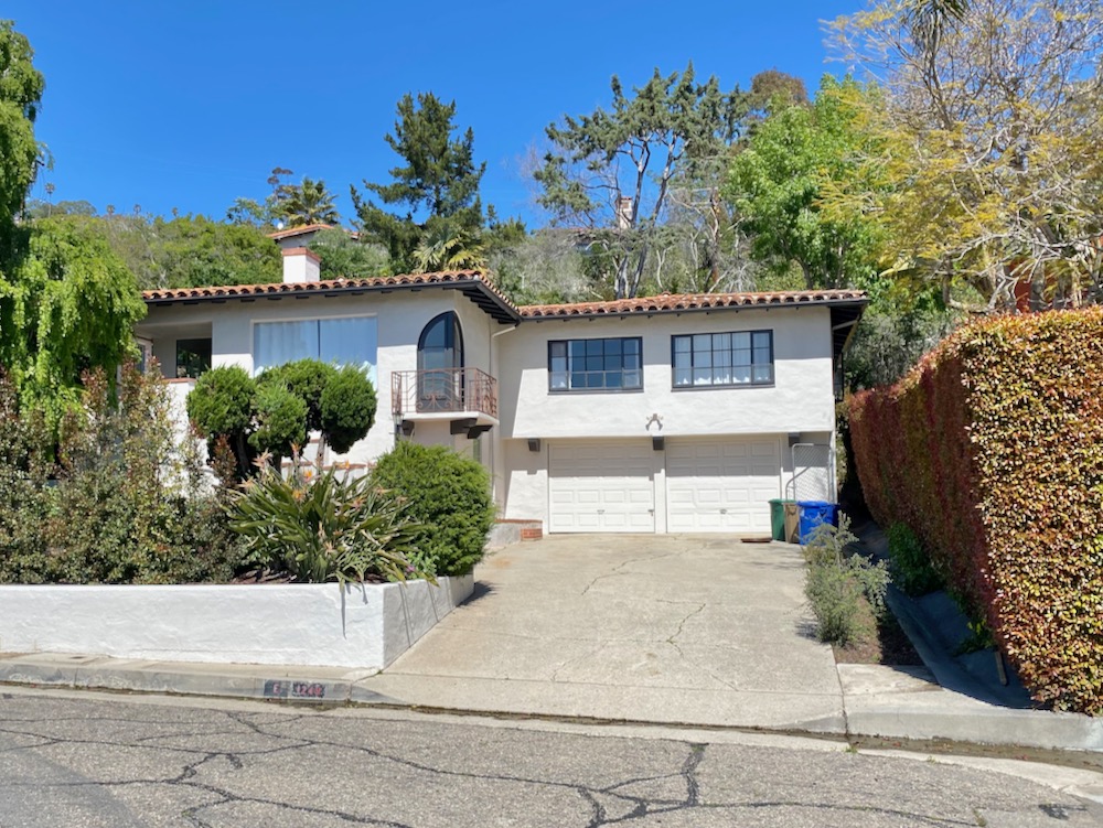
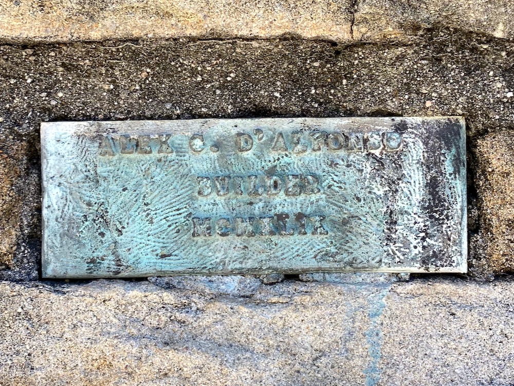
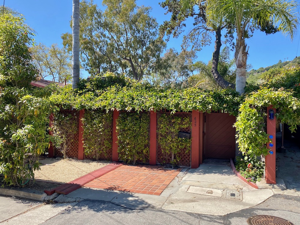
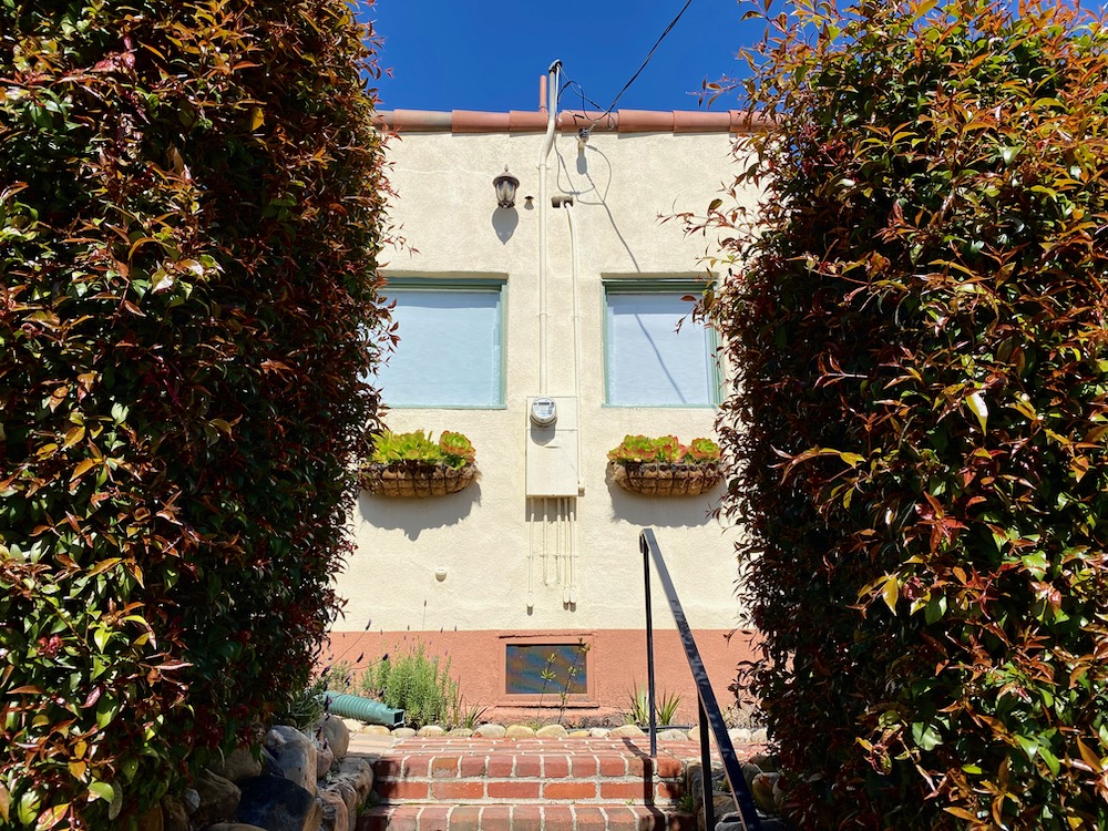
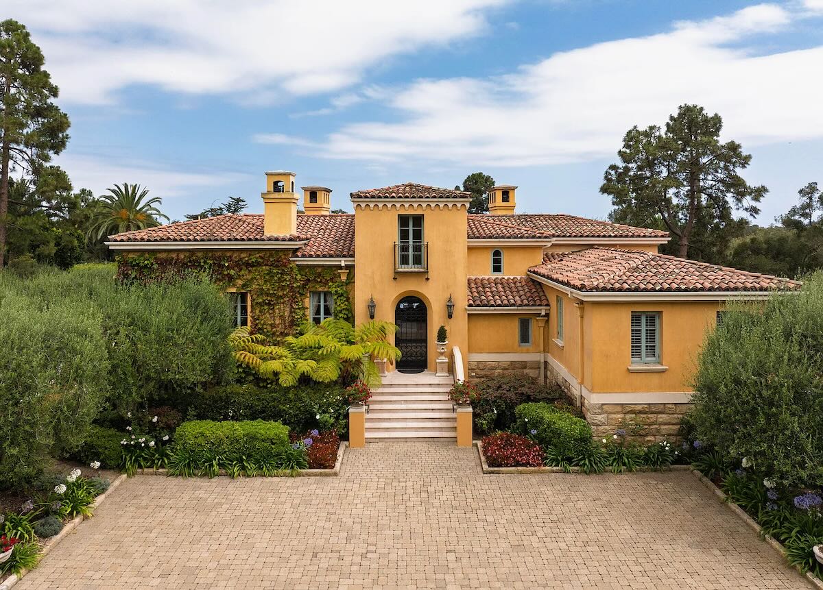
 The first dead-end offshoot on this walk is De La Guerra Terrace (not to be confused with De Le Guerra Road and E. De La Guerra Street). According to a report on 714 Chiquita Road by the city historian (we’ll get there later), the street is the site of three houses by architect Alex D’Alfonso: 822, 825, and 830; 822 De La Guerra Terrace, in the first photo below, recently sold for $3.57 million. I took the second photo because I liked the doorway and the arch to the left, and the third photo because I thought the contemporary architecture added something pleasing to the mix.
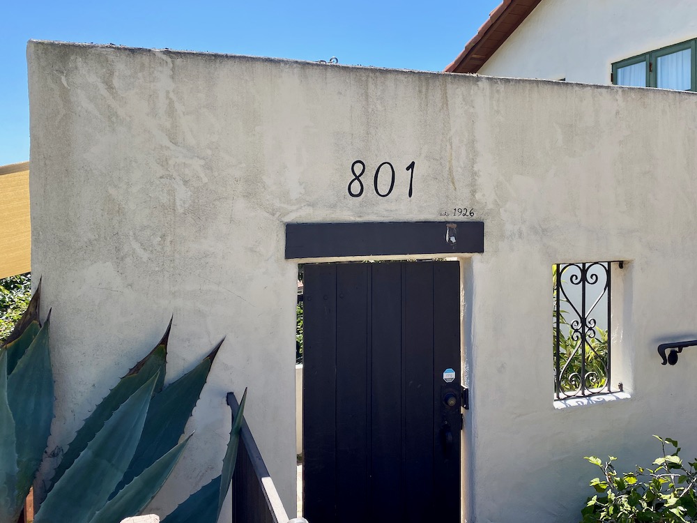
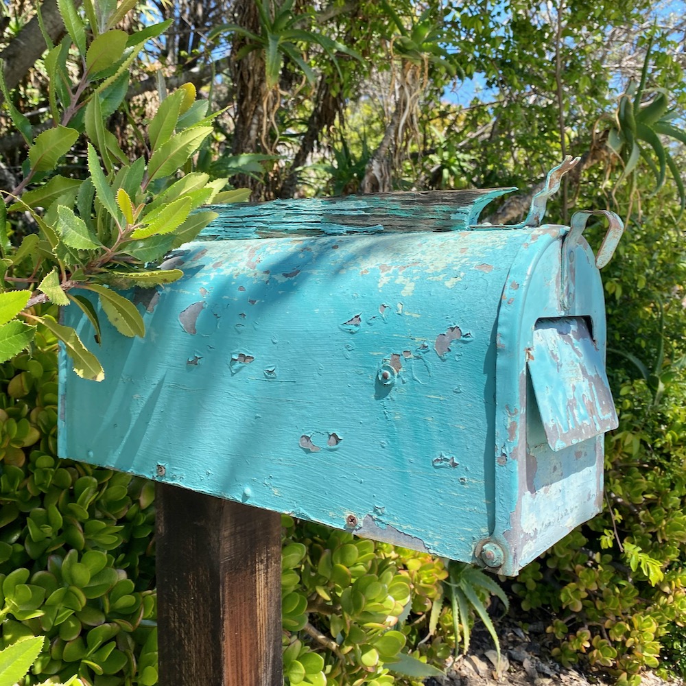
 Also worth a pause: hand lettering (“echô 1926”) on 801 and a mailbox with a frisky little doodad on top.
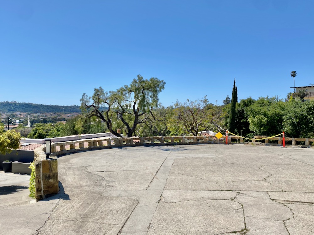
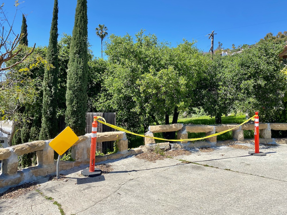
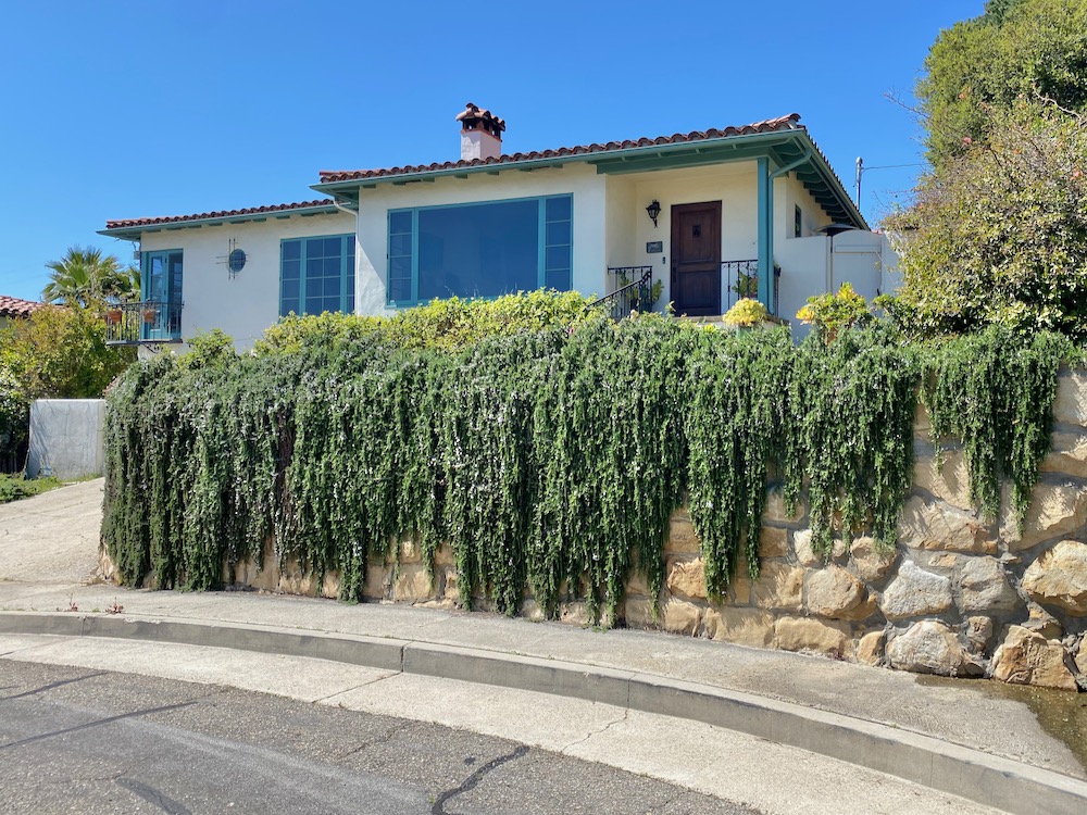
 De La Guerra Terrace ends with a semicircle lined with a stone fence. I guess the yellow warning sign wasn’t in quite the right spot.
 I was hoping we’d discover one of those quintessential Santa Barbara pathways, but the closest we got was these stairs cutting the corner at De La Guerra Road.
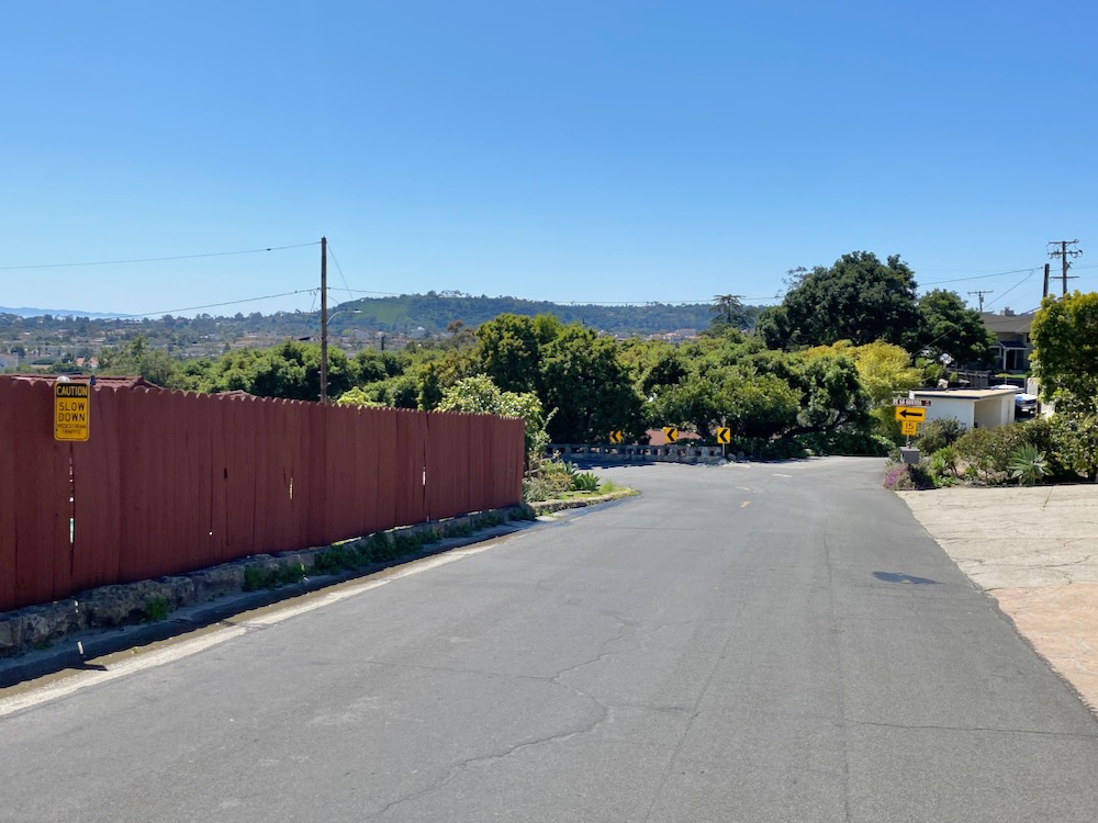
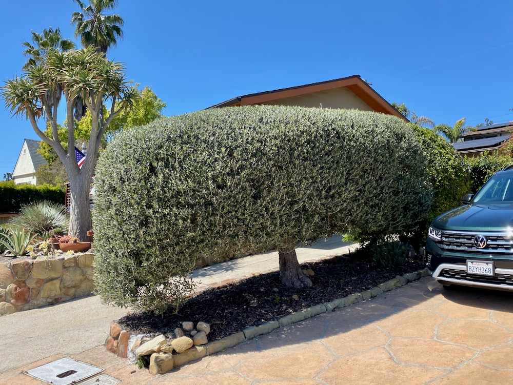
 The only dangerous part of the walk—aside from APS, which is like walking on the freeway—is on De La Guerra Road right before it makes a sharp, blind turn to the left. I do not recommend stopping in the road to admire an olive tree trimmed into a hedge.
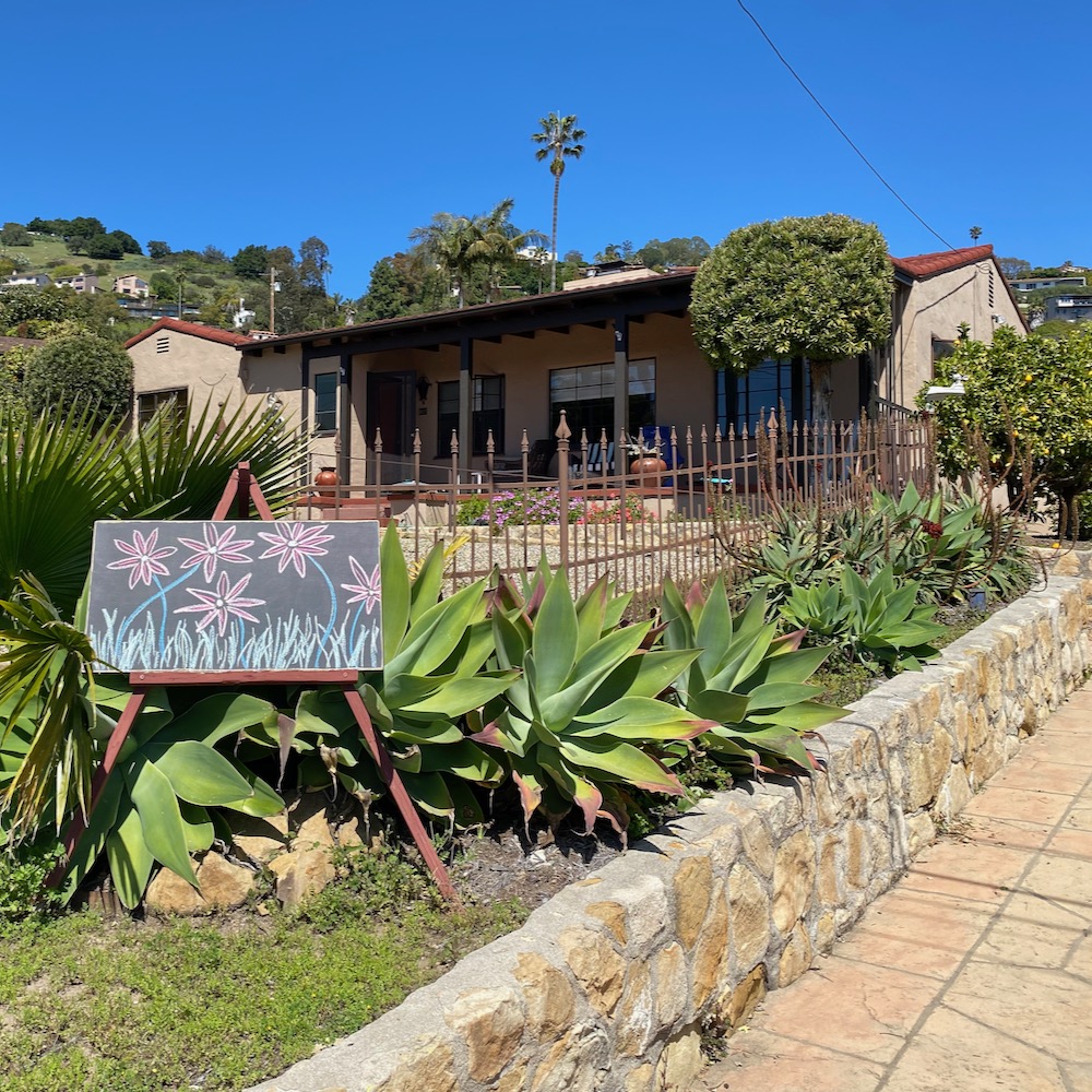
 Tucked in the curve is a house where the owner regularly changes up the art—sometimes it’s a message—on the easel in front.
 Across the street is another dead-end spur, Los Pueblos Road. The first house below has charm, but further up, the carport at the street’s edge brings things down a notch. Los Pueblos ends with two driveways, and the one on the left has an impressive motor court.
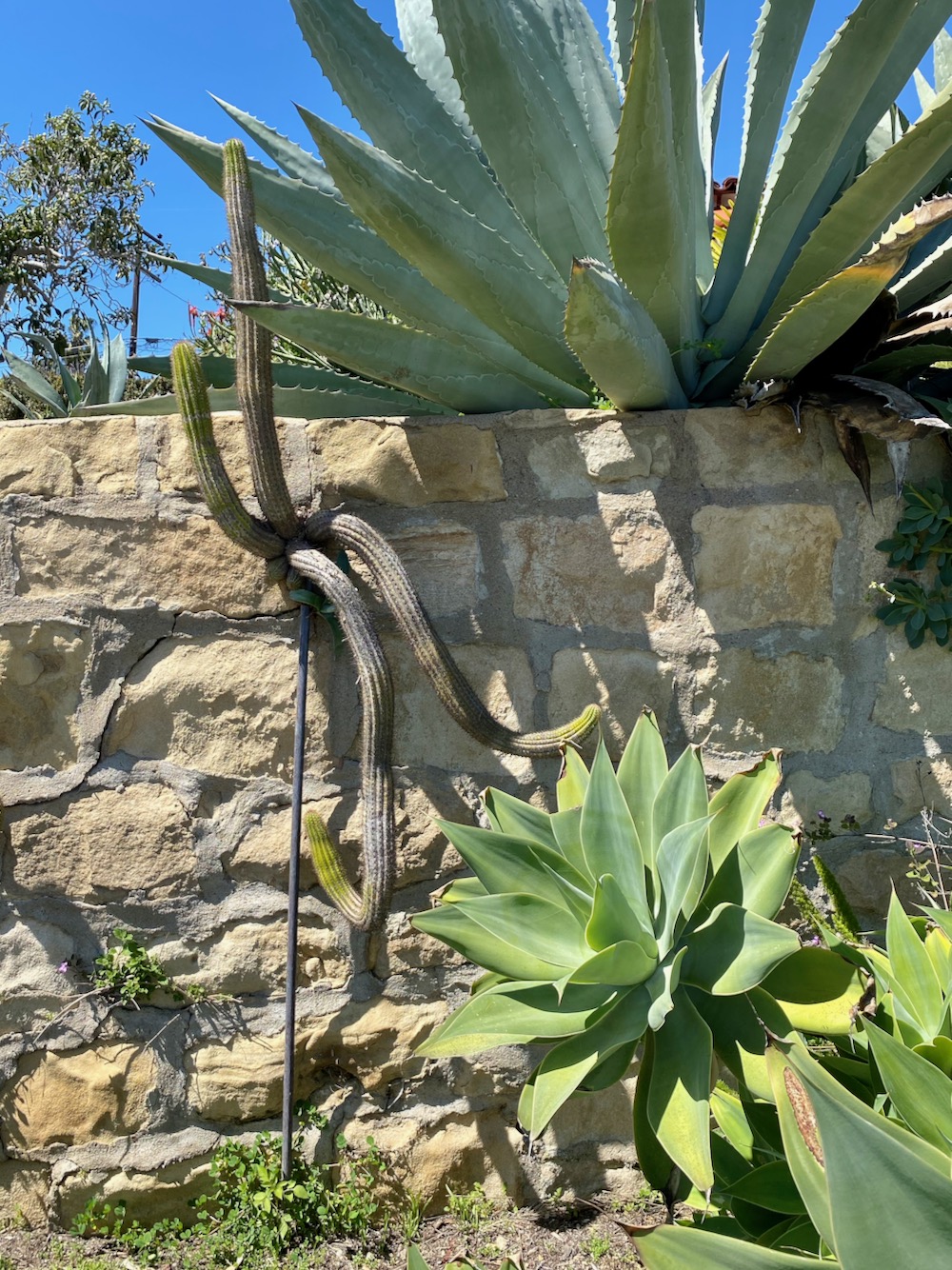
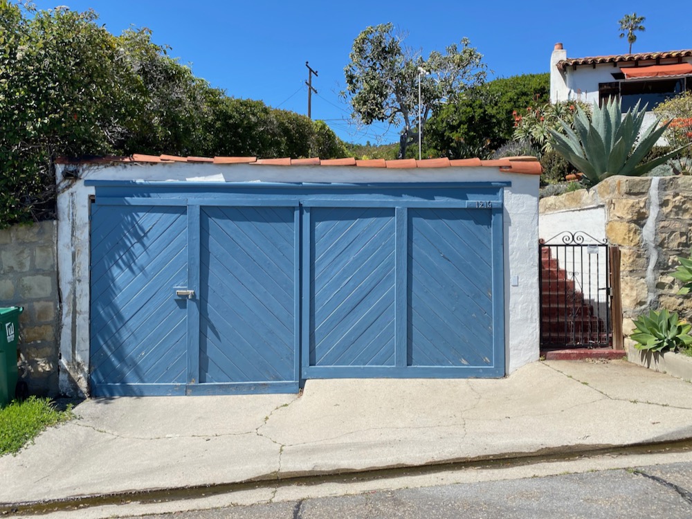
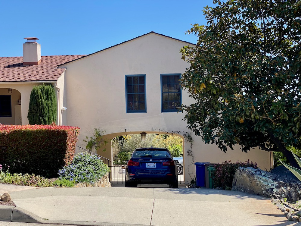
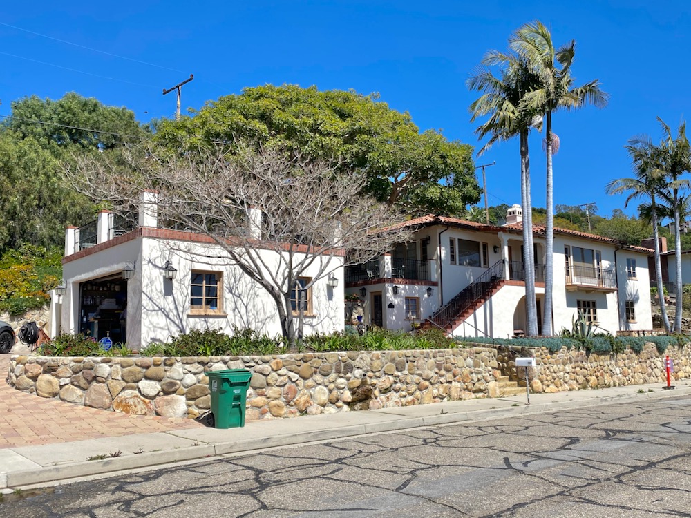
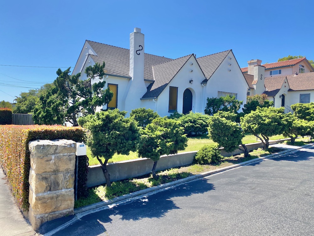
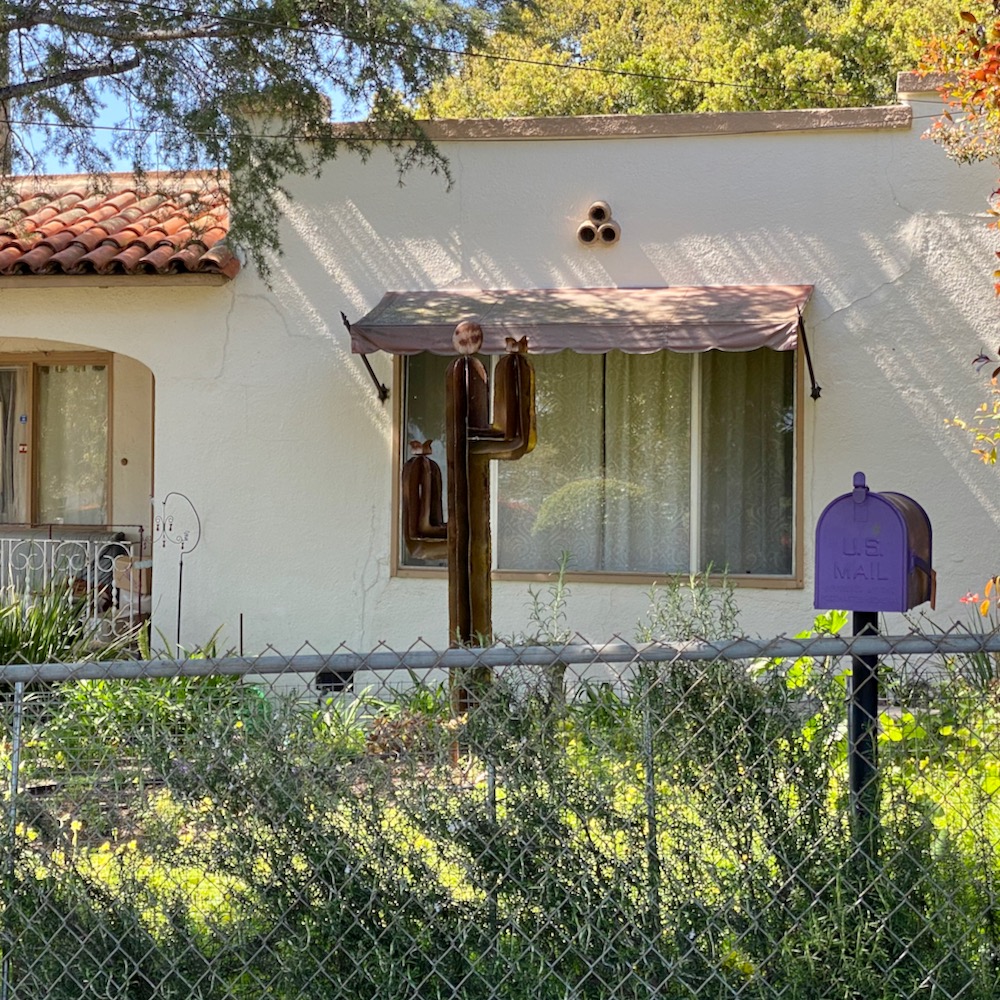
Then we turned left onto E. De La Guerra Street, a.k.a. the one you know from downtown. This end of the street is a total treat. Look at that cactus growing from the side of the wall! The quirky garage doors! The porte cochère under the house!
Another one-eyed minion! Without looking into it, I’m going to guess that some of the houses on this strip of E. De La Guerra Street are also by Alex D’Alfonso.
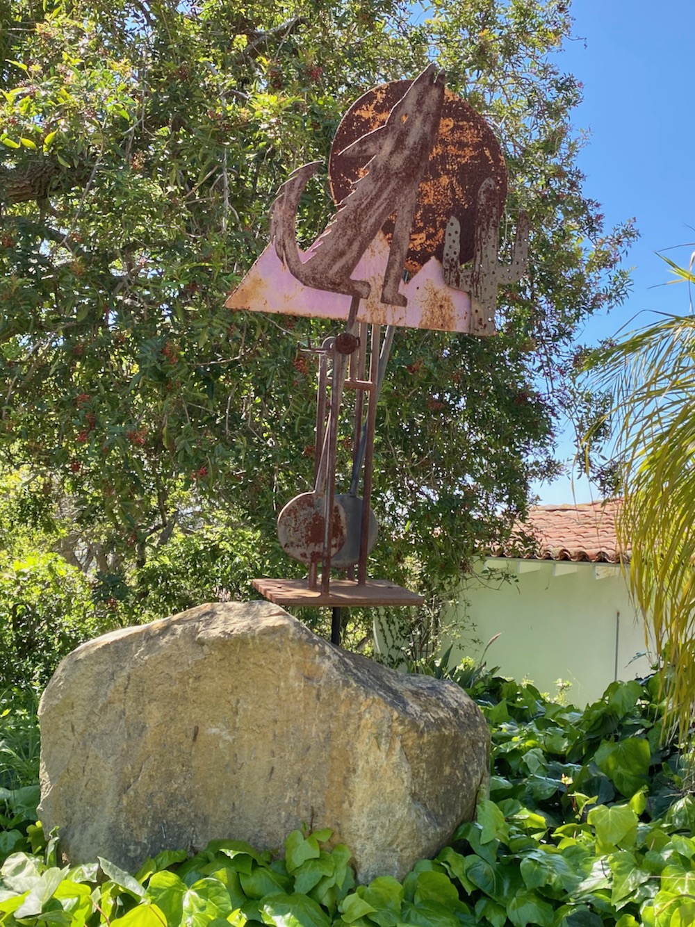
 The street turns into Chiquita Road as it banks to the right. I am besotted with the house below. (Apologies to the kid who came out just as I was lining up the shot of the tree and who I
 told encouraged to get out of the way.) Also worth a photo: the house with the brick railing, a set of stairs cut into the stone wall, and a rusty yard sculpture of a coyote howling at the moon (which looks like it might be kinetic).
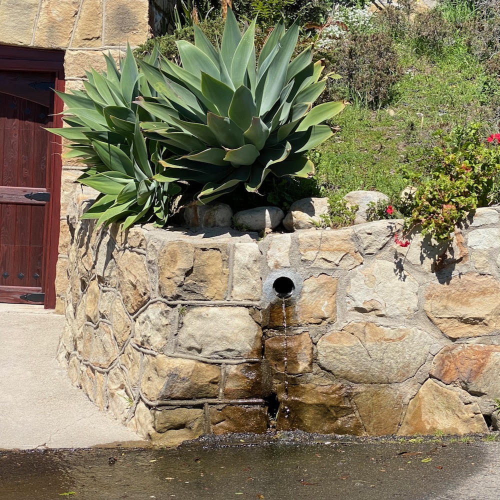
 Making our way back to E. De La Guerra Street, we came upon a house where the owner has gone all in on rocks: they’re on the roof, in the yard, and on the sidewalk. And the water continues its flow, crossing the street and then crossing back. Perhaps this is only interesting to Adam and me, but we were intrigued by the long, narrow drain installed along the sidewalk; just below it (and out of the frame) is the normal kind cut into the curb.
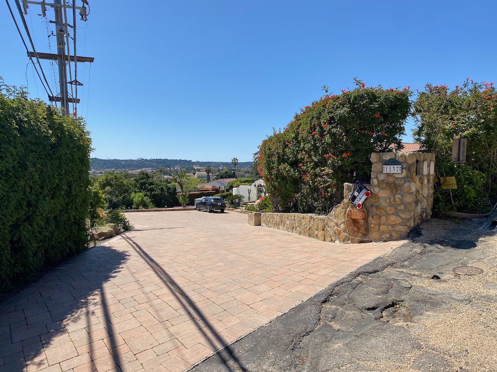
 According to Redfin, the house at 1123 E. De La Guerra Street was built in 1907 and has just two bedrooms. The way it sits so far off the street—the lot is .6 acre, huge for the area—is extremely glamorous.
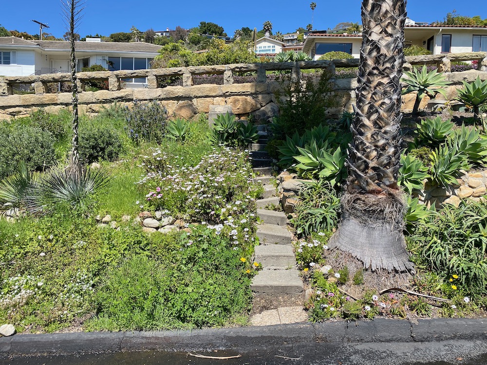
 The house is just south of the dead-end Soledad Avenue, not to be confused with N. and S. Soledad Street. While we were on Soledad Avenue, a man approached us and, after informing us that it’s a private road (but with a city sign and not marked as such), asked what we were doing. Um, walking? He has a thing about people taking photos on his street, informing us that the next time Google’s Street View car comes by he’s planning on letting the air out of its tires.
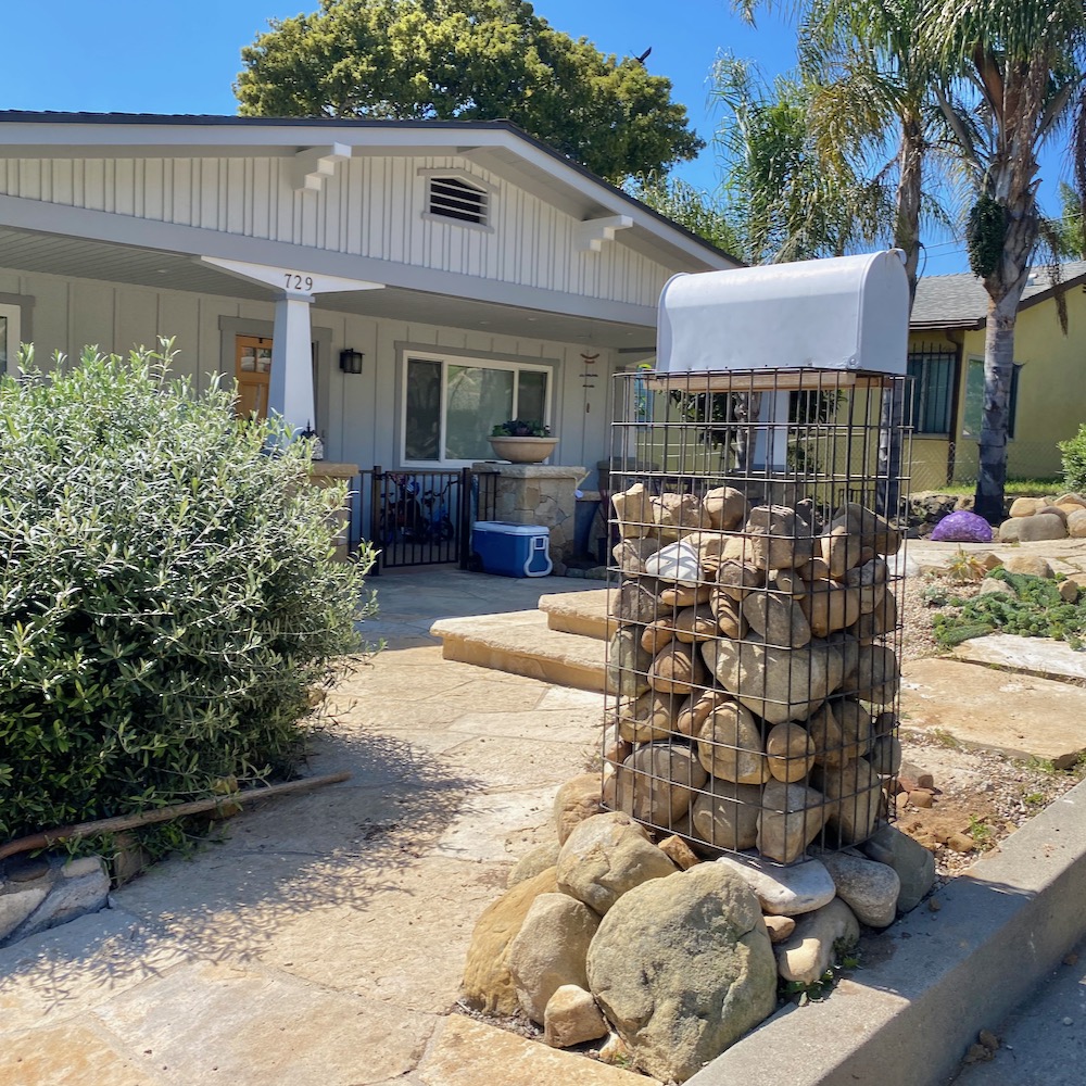
 Across the way is N. Soledad Street, which starts out running parallel to E. De La Guerra. I just learned something else new: a cage full of rocks, like in the mailbox below, is called a gabion. My browser autocorrects it to Gabon, which feels like a sign I should link to this.
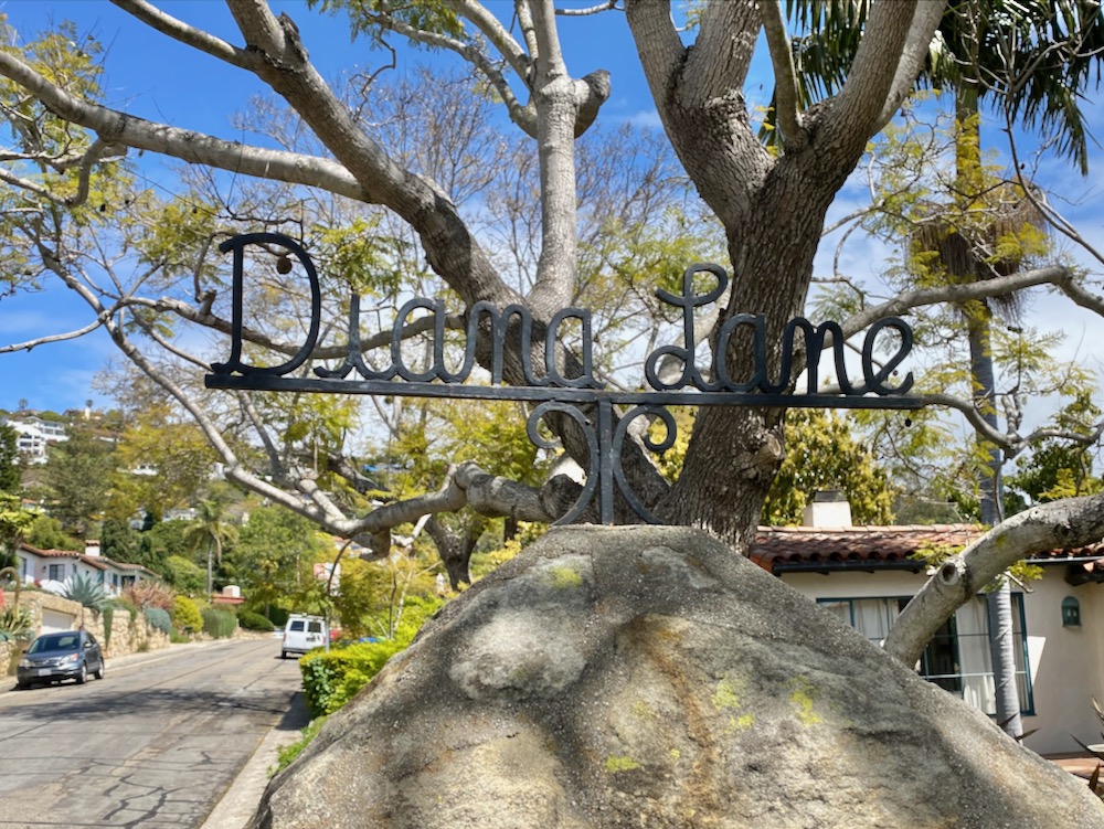
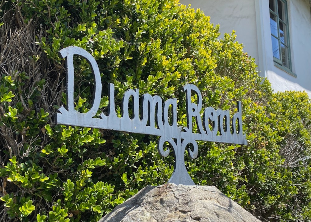
 Sorry to get all book-reporty on you, but the aforementioned city historian report on 714 Chiquita Road nicely explains the appeal of the loop formed by Diana Lane and Diana Road.
[D’Alfonso’s] firm bought a tract of land on the lower Riviera above Ortega and De La Guerra Streets and built 34 houses along Diana Road and Lane, between 1946 and 1948. D’Alfonso designed the single-family houses in a post-World War II interpretation of the Mediterranean style, laying out the roads lined with native Santa Barbara sandstone retaining walls. The houses are rectilinear with large windows flanked by divided casement windows that overlook the streetscape [….] This is a signature feature of many D’Alfonso homes as it brings a sense of interaction with the street and house. The houses feature elements of the ranch style combined with the Mediterranean style terra-cotta roofs, smooth, stucco white walls, and horizontally divided lights to fit into the Santa Barbara aesthetic established in the 1920s to create a Mediterranean/Spanish Colonial Revival style town. This development, along Diana Lane and Diana Road (named after his daughter), remains intact and serves as an excellent example of house siting and design. Almost all of the houses still display the craftsmanship and inherent character of D’Alfonso, including tucked-in porches and large, expansive front facing windows. The small collection of D’Alfonso houses retain their Mid-20th century character due to their unique layout on the rounded streets that sets the development apart from the grid of streets. They have a cohesiveness as a collection of houses that are a mid-century interpretation of the Spanish Colonial style with repeated features like the large front windows and terra-cotta roofs on the linear buildings that create a special character. The houses sold for $12,500 to $15,000.
That last line is like a punch in the gut.
 Finally, someone who keeps their slow child in the yard where he belongs.
 Diana Road is more of the same, but without the frisson that there could actually be a woman named Diana Lane—perhaps a cross between Diana Rigg, Diana Ross, and Diana Prince.
 I don’t think I had ever seen a pedestrian door cut into a garage door.
 N. Soledad Street is blocked between Ortega and Cota, or at least it used to be. Now it’s a private driveway; more on it when we get to the Cota side.
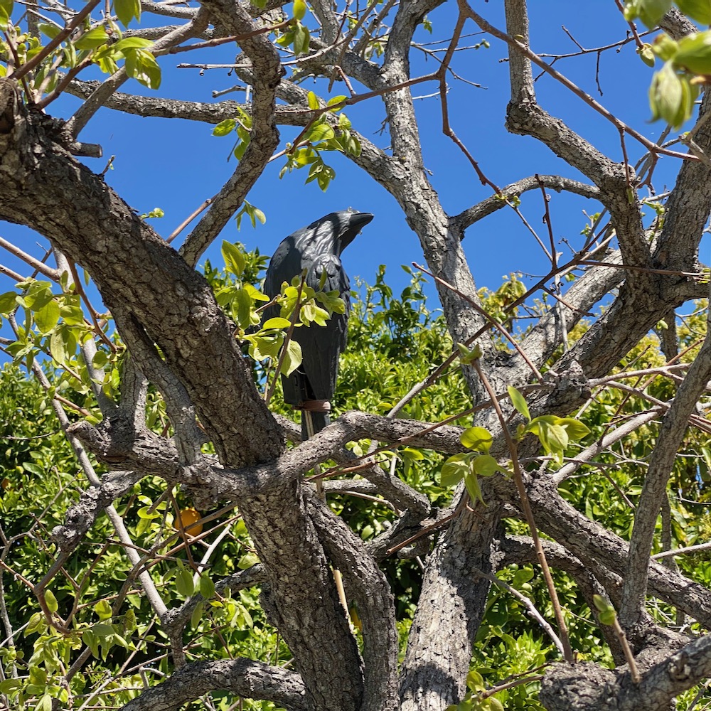
 In order to walk every inch of the area, we double-backed a lot, and as a result, I lost track of where these next two photos were shot. I returned later and found the fake crow (on E. De La Guerra Street at N. Voluntario), but I never found the banana flower. Maybe someone ate it.
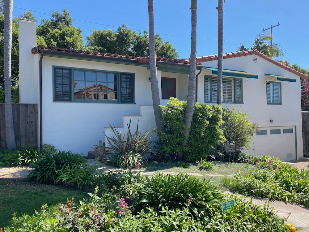
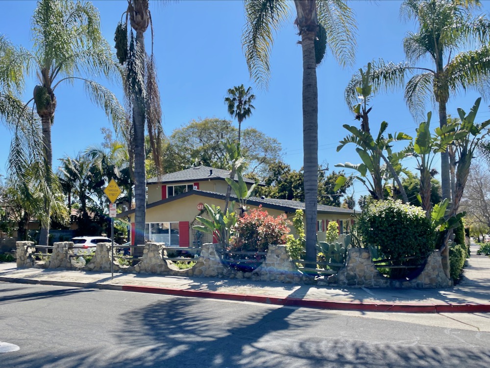
 The northwestern end of N. Voluntario Street is a dead-end stub with a striking contemporary house at the end. The other houses are elsewhere on the street, and the mix of styles is wonderfully Santa Barbara. Spanish Colonial architecture gets all the attention here, but it’s really just the dominant note in a very pretty melody.


 I loved the windows on this little E. Ortega Street house, but I’m not sure about the other house’s shed (?) right on the sidewalk. It looks like a guardhouse.
 The second-to-last dead end street is La Quila Lane. What stood out the most was the marker on an old stone post (MCMXLIX = 1949 in Roman numerals) and the stone-and-wood fence at the house on the corner. (UPDATE: Tal points out that the street sign actually calls the street L’Aquila, while Google Maps calls it La Quila. And the city’s official online map calls it Laquila.)
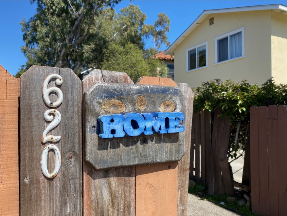
 A sweet little sign on N. Voluntario Street.
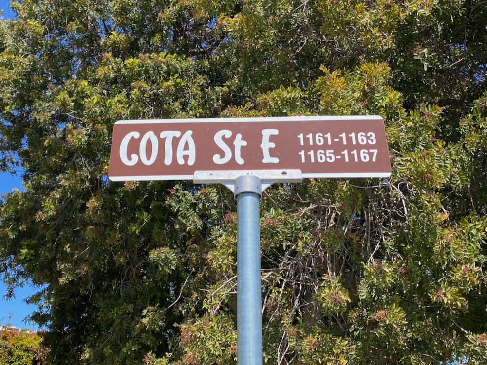
 We’re in the homestretch…. The first two photos below are of the E. Cota Street end of the private driveway that runs where N. Soledad Street should be (and/or once did?) between Ortega and Cota. “The street name sign shown in your photo was likely installed by the property owner since the style is a bit different from our standard,” explained a city traffic engineer. (Indeed, the name is actually “E. Cota Street.” Erecting a city-style sign would seem to encourage drivers to think the street is public, but perhaps it exists to help direct emergency vehicles. Despite a powerful urge, we did not walk on it.
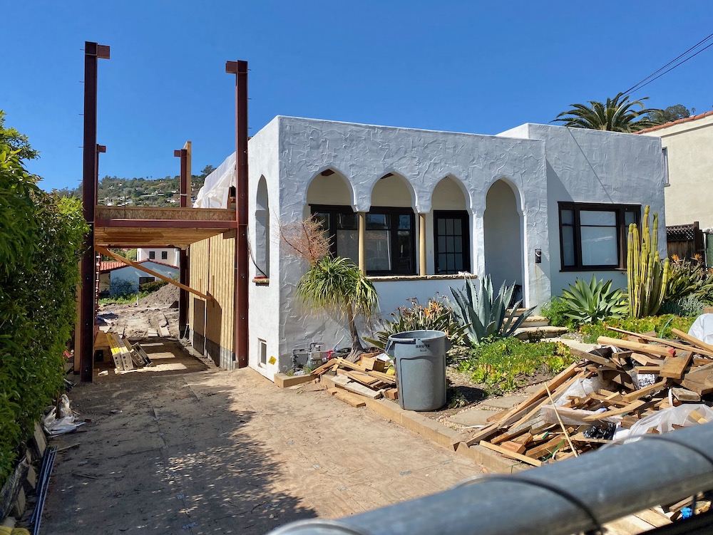
 The eastern end of E. Cota Street has tremendous flavor. The Moorish-ish house directly below sold for $1.86 million last June, and as suspected, the buyer lopped off the side of the house in order to build on the back of the long lot.
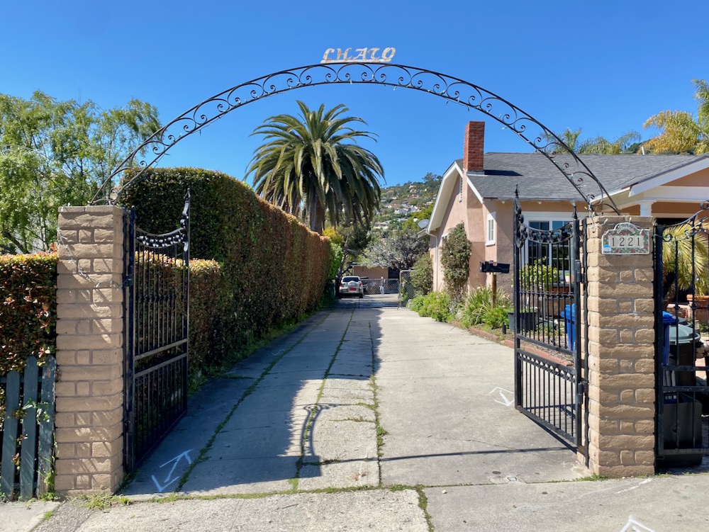
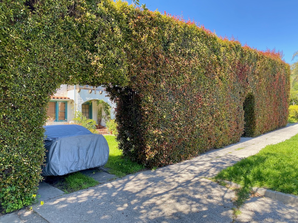
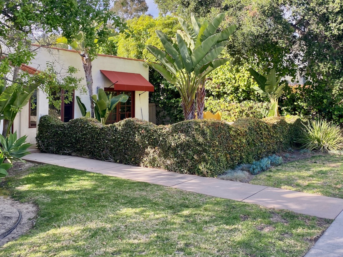
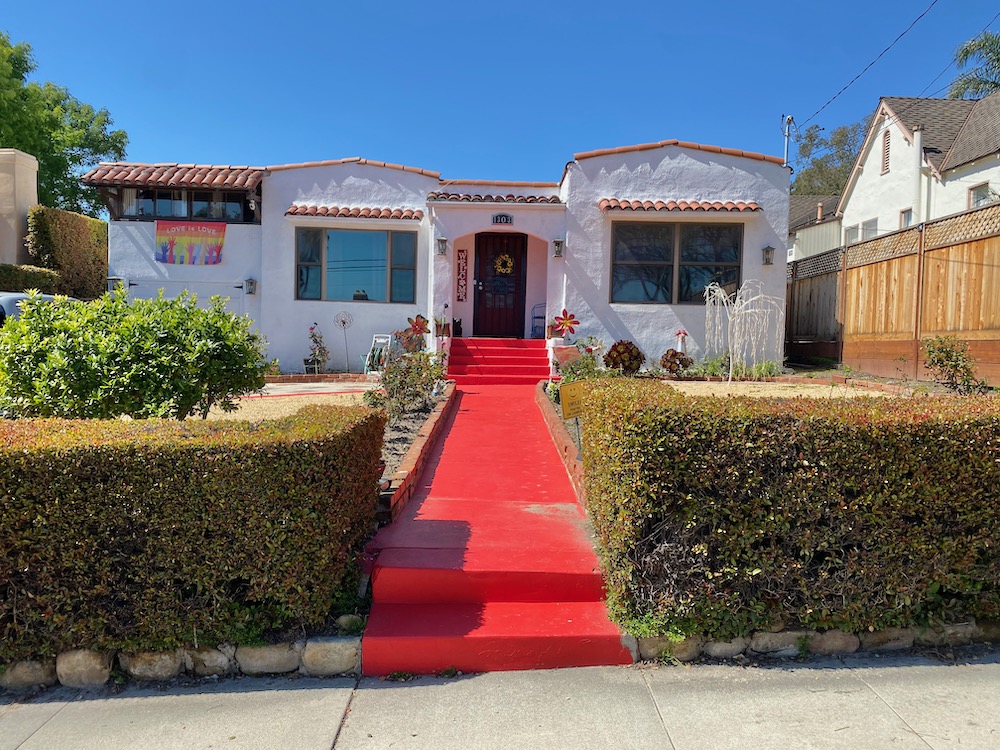 There’s more than just houses: a metal cactus sculpture; impressive hedgework (including one cut into a wavy shape, or maybe there’s a wall under there); and the snazziest little library ever.
 The final dead-end stub: the northwestern end of Chiquita Road, where it juts past E. Cota. I know I say this every time, but I’m always amazed when the sidewalk just disappears.
 The house at the end is so discreet I almost missed it.
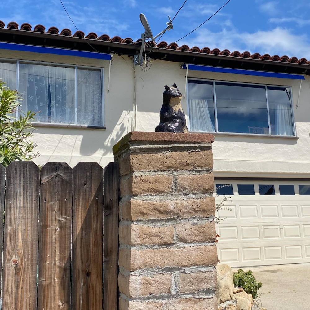
 A face for the next roundup.
 And I think I found Siteline’s new comments policy.
 ················
Walk With Me…
Downtown Santa Barbara
• The Presidio: In the Footsteps of Old Santa Barbara
• Brinkerhoff, Bradley, and Beyond
• Mixing Business and Pleasure in East Beach
• It’s Only Milpas Street (But I Like It)
• The Haley Corridor Is Keeping It Real
• The Small Pleasures of Bungalow Haven
• Is There a Better Neighborhood for a Stroll Than West Beach?
• E. Canon Perdido, One of Downtown’s Best Strolling Streets
Oak Park / Samarkand
• The Side Streets and Alleyways of Upper Oak Park
• The Small-Town Charms of Samarkand
The Riviera
• Scaling the Heights of Las Alturas
Eucalyptus Hill
• On the Golden Slope of Eucalyptus Hill
• Climbing the Back of Eucalyptus Hill
San Roque
• Voyage to the Heart of the San Roque Spider Web
TV Hill / The Mesa
• Walking in Circles in Alta Mesa
• West Mesa Is Still Funky After All These Years
• A Close-Up Look at TV Hill
Hidden Valley / Yankee Farm
• An Aimless Wander Through Hidden Valley
• The Unvarnished Appeal of Yankee Farm
Hope Ranch / Hope Ranch Annex / Etc.
• A Country Stroll on El Sueno Road
Montecito
• The Heart of Montecito Is in Coast Village
• Quintessential Montecito at Butterfly Beach
↓↓↓ Once Upon a Time in the Hedgerow
• Where Montecito Gets Down to Business
• In the Heart of the Golden Quadrangle
• Up, Down, and All Around Montecito’s Pepper Hill
• Montecito’s Prestigious Picacho Lane
• School House Road and Camphor Place
Summerland / Carpinteria
• A Stroll in the Summerland Countryside
• Admiring the Backsides of Beachfront Houses on Padaro Lane
• Whitney Avenue in Summerland
Goleta / Isla Vista
• Where the Streets Have Full Names
• The Past Is Still Present in Old Town Goleta
• Social Distancing Made Easy at UCSB
 ················
Sign up for the Siteline email newsletter and you’ll never miss a post.


I so enjoy these little jaunts with you, Erik. Thank you for taking us along!
While this roam is a favorite of mine I would say the star of this point is the diversion to Ab Fab….there is never enough Patsy in one’s life. Thanks for the chuckle.
Thank you as always – exploring Santa Barbara by foot is truly the best. And yes, the Ab Fab reference reminded me why I enjoy your writing behind these walks.
I am the individual presented as being confused as to whether Soledad Ave is really a private street, a flatter of tires and basically unwelcoming to those who wish to stroll up our street. We posted a private street sign and the city illegally replaced it with their own sign and changed the name from North Soledad Ave to Soledad Ave. Your suspicion s are therefore support but I have the legal description on my Grant Deed. We have always welcomed strangers who just want to stroll, chat and look around. Your frantic camera “ on a mission” performance stood out from what seems natural and normal, and hence I engaged you. Life sometimes is not as unwelcoming as some people choose to paint it.
Thank you for the cheerful thoughtful walk along the paths and roads below APS. Santa Barbara is my hometown and I have not lived there since 1960 but I have roots! Deep roots! I’m looking forward to traveling with you more! When I do visit, I drive all over because, as a child in SB and growing up I walked absolutely everywhere and I never get tired of returning to ant part of SB! And the trees! Oh my! I remember when the El Paseo and Dela Guerra Plaza with its shops really did exist – don’t get me started!
Great sleuthing! Love it. D’Alfonso also designed the old McConnell’s plant over on Milpas as well as Sambo’s (now Chad’s) on Cabrillo.
The “echô 1926” at 801 De la Guerra Terrace might once have been “hecho 1926” – Spanish for “made in 1926.”