
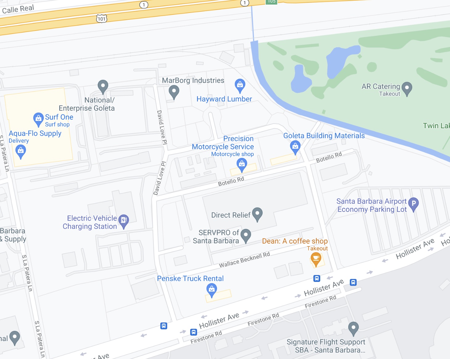
I first got to know the area of Goleta pinched between the 101 and Santa Barbara Airport when I needed to take a bunch of recycling to the MarBorg facility there. (The one off Milpas was closed because of Covid.) I’m not going to say I was charmed by the area, exactly, but the street names caught my attention.
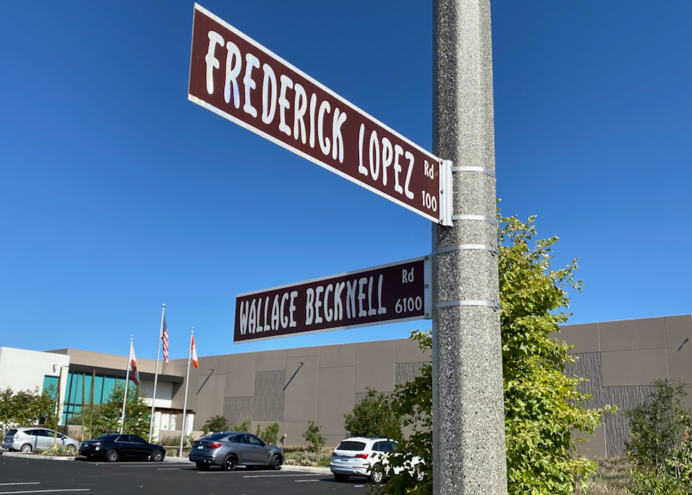
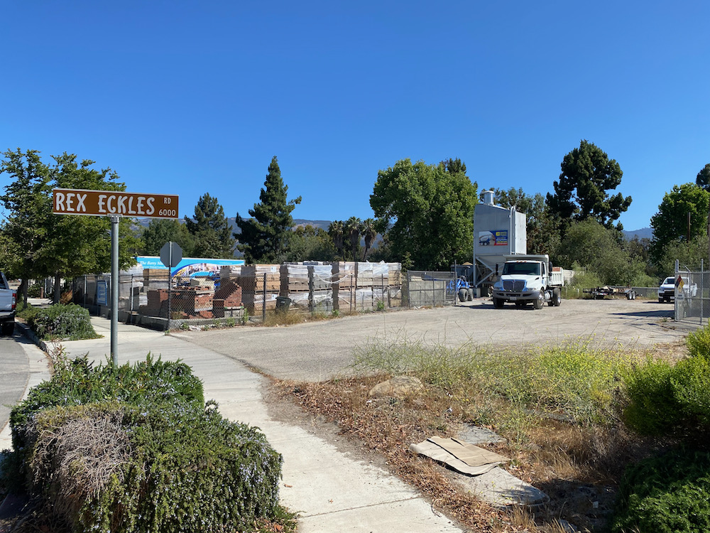
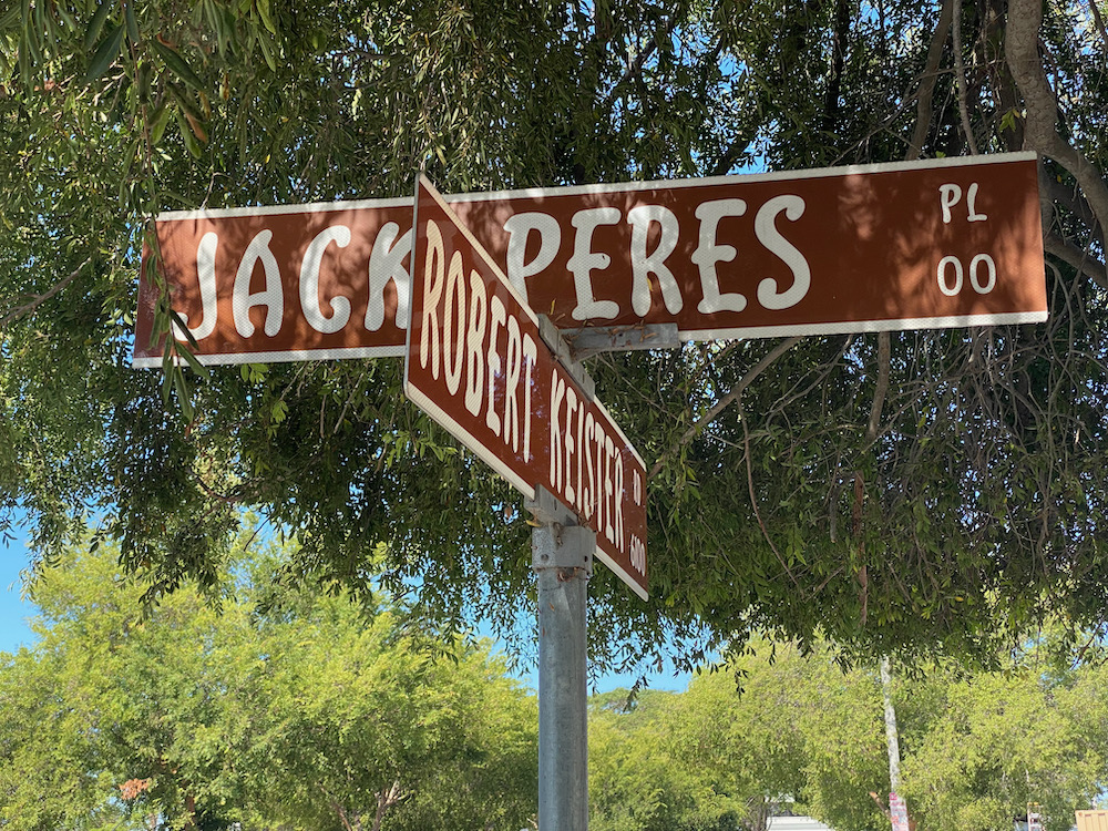
 What you can’t tell from the map is that the streets are all named after people. To be more specific, “local military pilots killed in action during World War II,” according to Goleta History (whose post about the Marine base in the area is well worth a read): Frederick Lopez, Wallace Becknell, Rex Eckles, Jack Peres, David Love, Francis Botello, and John W. Hays. It’s hard not to think about their lives—and what they sacrificed for us—when you see their full names.
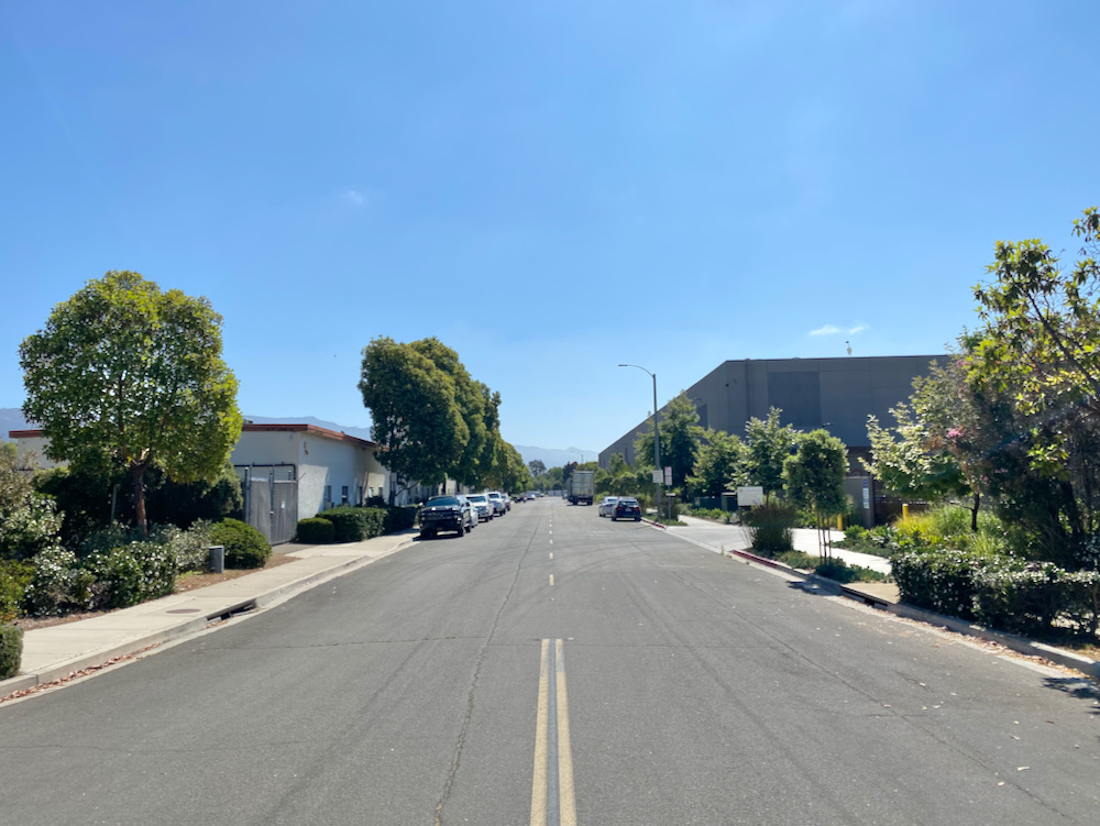
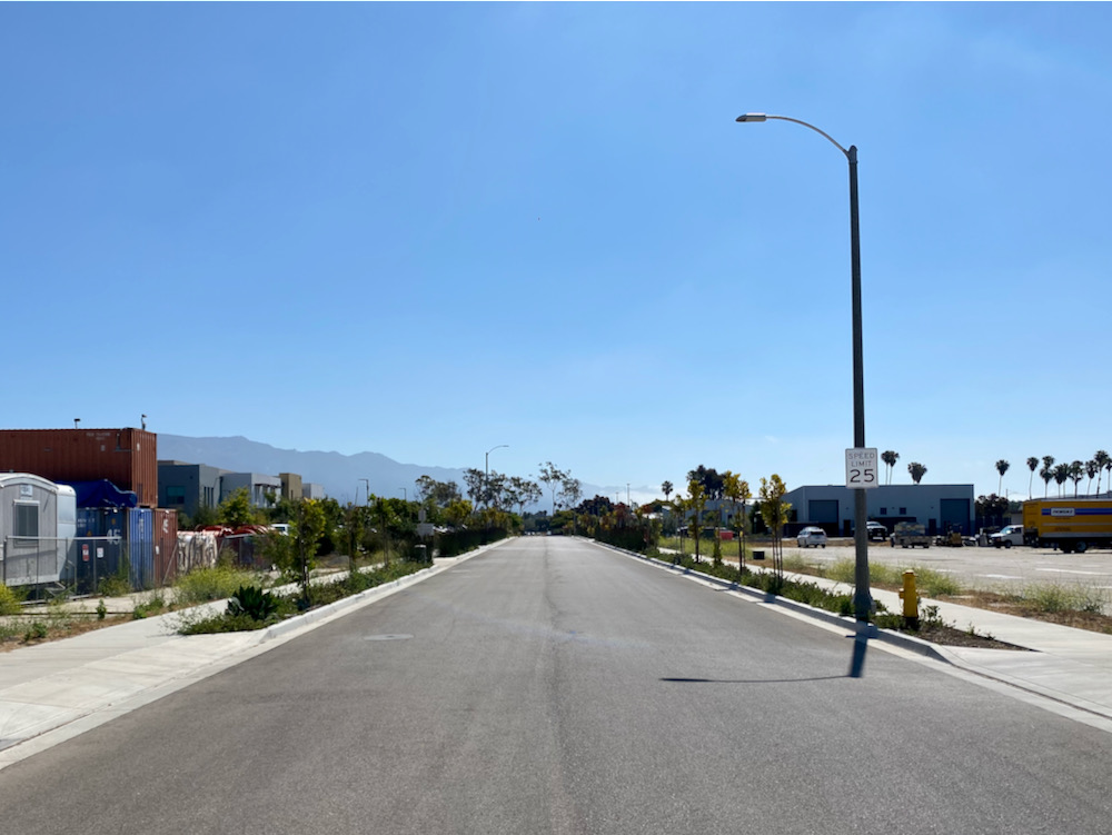
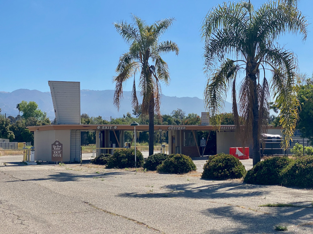
 When driving through the area, and/or at first glance, there doesn’t appear to be much worth exploring. Industrial and utilitarian, it’s like the anti-Hedgerow. In the scrubbier parts, I briefly had the feeling I might encounter a dead body. I mean, the area just seems like the kind of place one might dump a corpse, since no one seems to walk there much. Well, no one else.
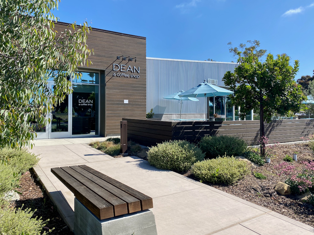
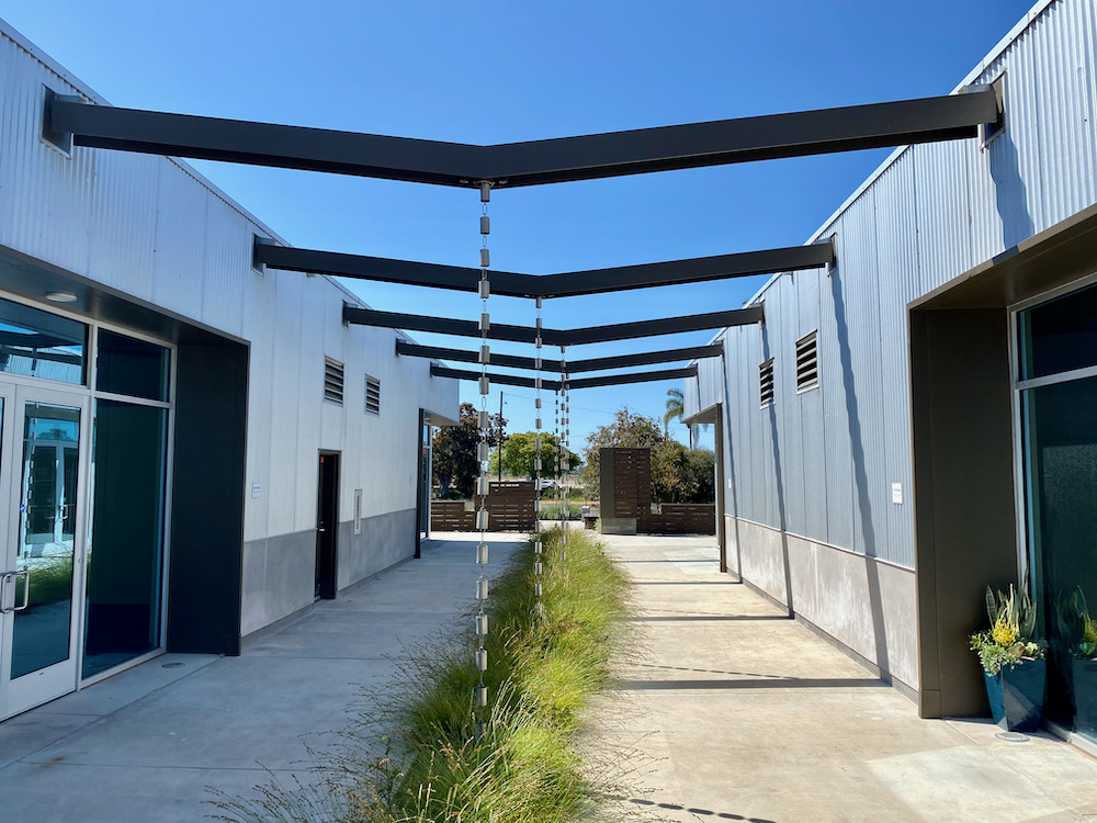
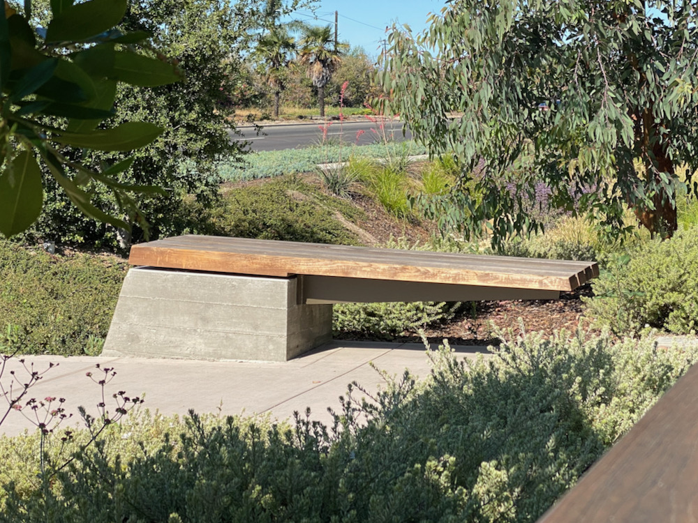
I started out at Dean’s, a coffee shop in a contemporary-style office park. I broke my no-baked-goods-wrapped-in-plastic rule when I saw that the chocolate chip cookie was from Triple Chip. And as I sat out on the terrace, I marveled at the effort that the architects must have expended in order to persuade the developer that it was necessary to create cantilevered benches.
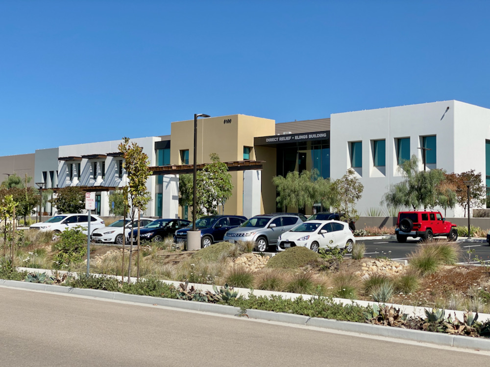
 That office park is a fascinating comparison to the Direct Relief headquarters across the street. Direct Relief is an amazing organization, full stop. And we are honored to have it here! But its building is a dud—it looks like a mall in Oxnard. I get that the executives wanted to avoid coming off as spendthrifts, but as the Dean’s complex shows, you can do a lot with cheap materials. Look at what the Brazilian Brutalists and Tadao Ando have done with concrete.
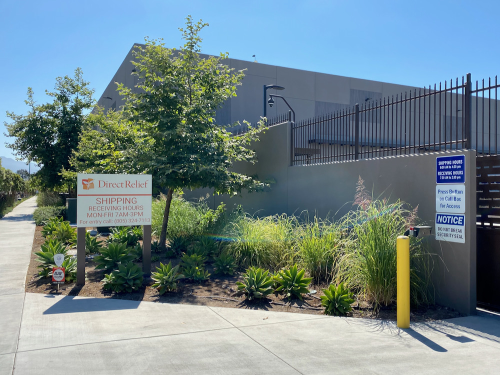
 “Do not break security seal,” says one of the signs by the organization’s gate. Mystified, I later looked it up on Wikipedia: “Security seals are tamper evident mechanisms used to seal cargo in transit shipping containers in a way that provides tamper evidence and some level of security [for] truck trailers, vessel containers, chemical drums, airline duty-free trolleys, and utility meters.”
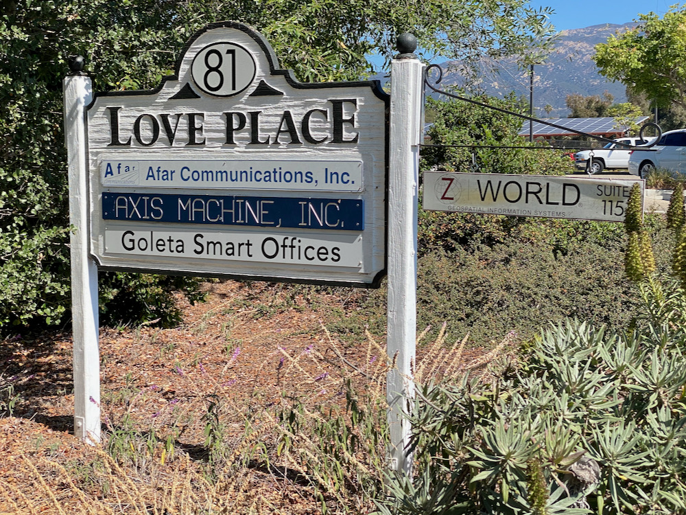
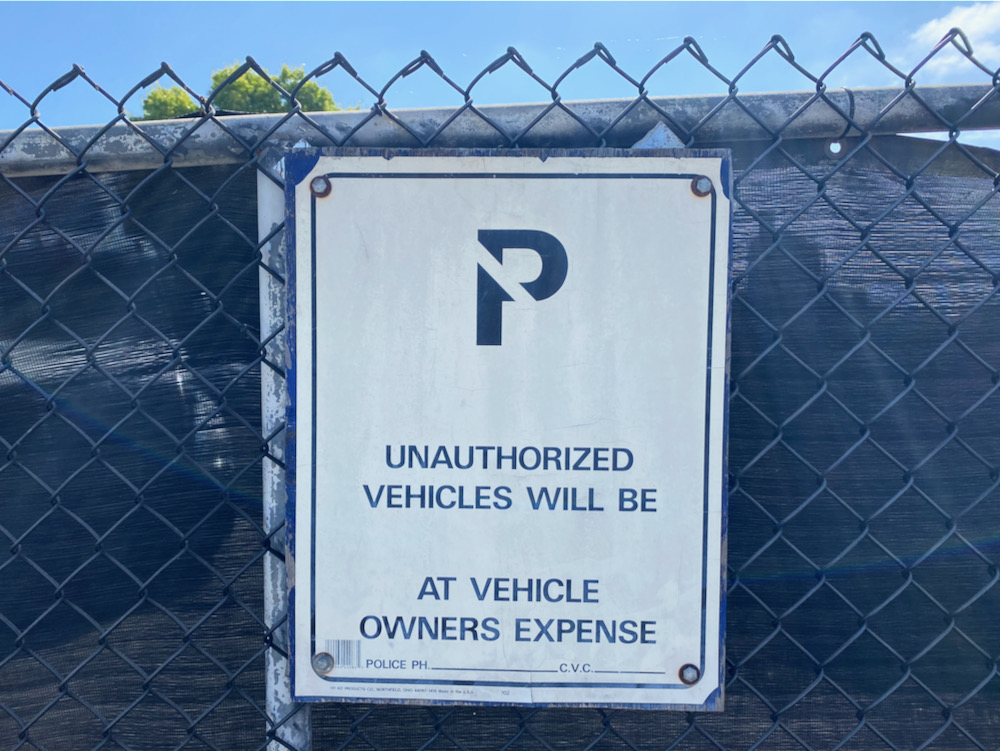
 Direct Relief is an outlier in this neighborhood, if you can call the area that. The other businesses tend to be small, and the signs make them seem even smaller. Poor Z World didn’t even get a slot on the main stage.
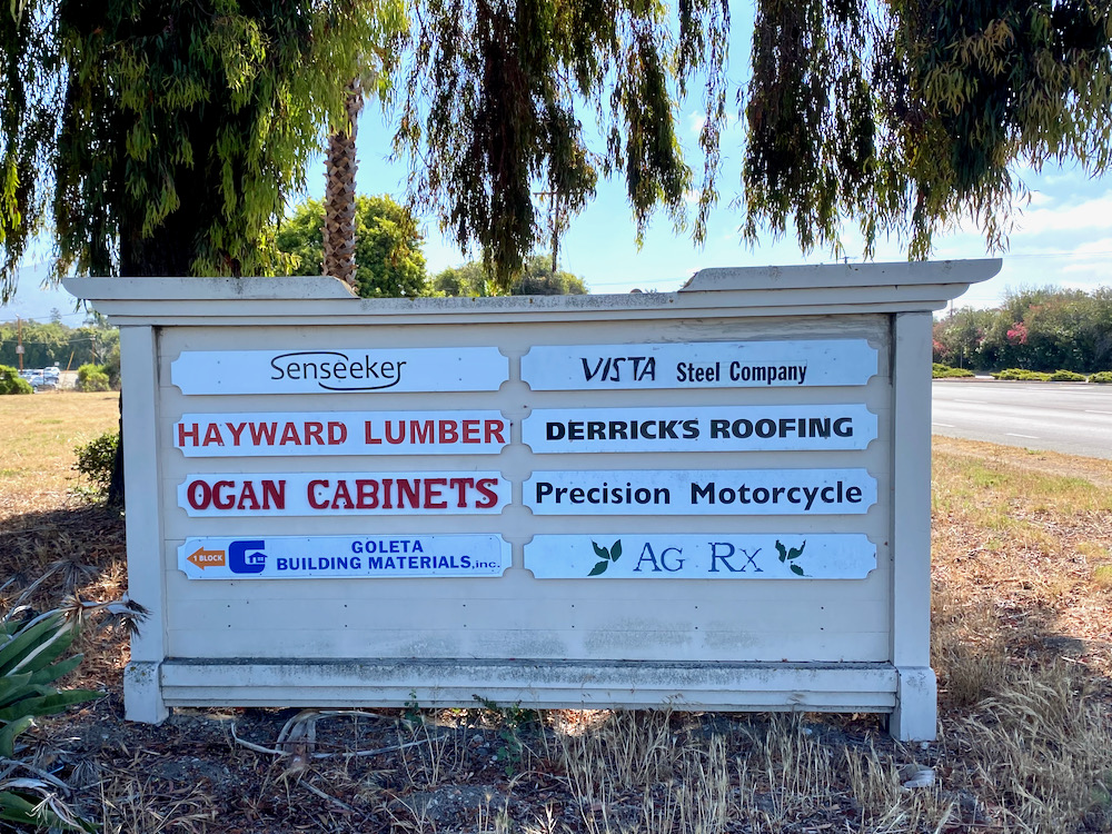
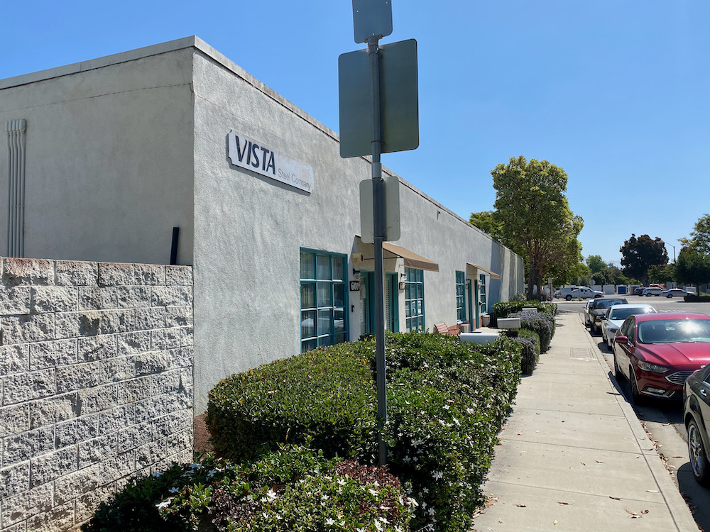
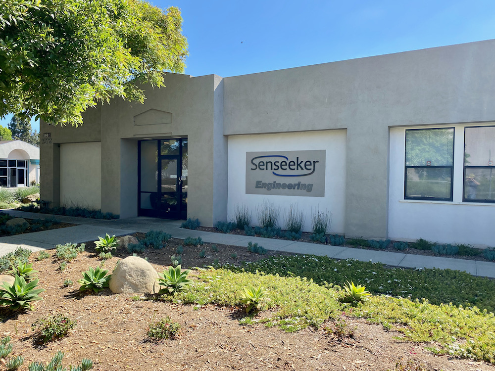
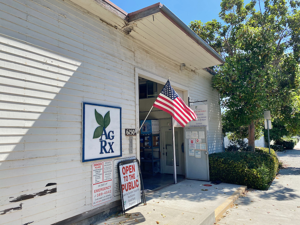
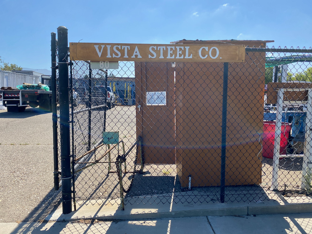
 Direct Relief aside, the architecture is low-slung. The folks inside Ag Rx—which sells fertilizer and other agricultural chemicals—were mystified as to why I was admiring their building. Could it and Vista Steel Company’s building date from the Marine base years?
 Often there’s no architecture at all….
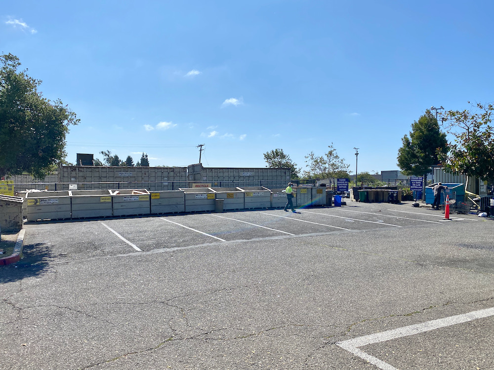
 And here’s the MarBorg Industries recycling facility. It’s far more pleasant than the one off Milpas. One of the workers even waved hello at me.
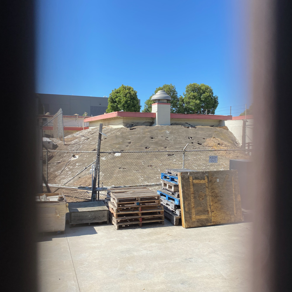
 Below: a mysterious mound photographed through slats in a fence.
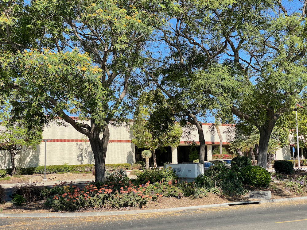
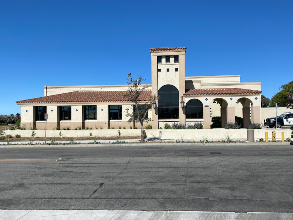
 On the area’s western edge are a couple of more professional buildings, including outposts of Southern California Edison, which has the best trees around, and the California Department of Justice. (Hence the po-po, I guess.)
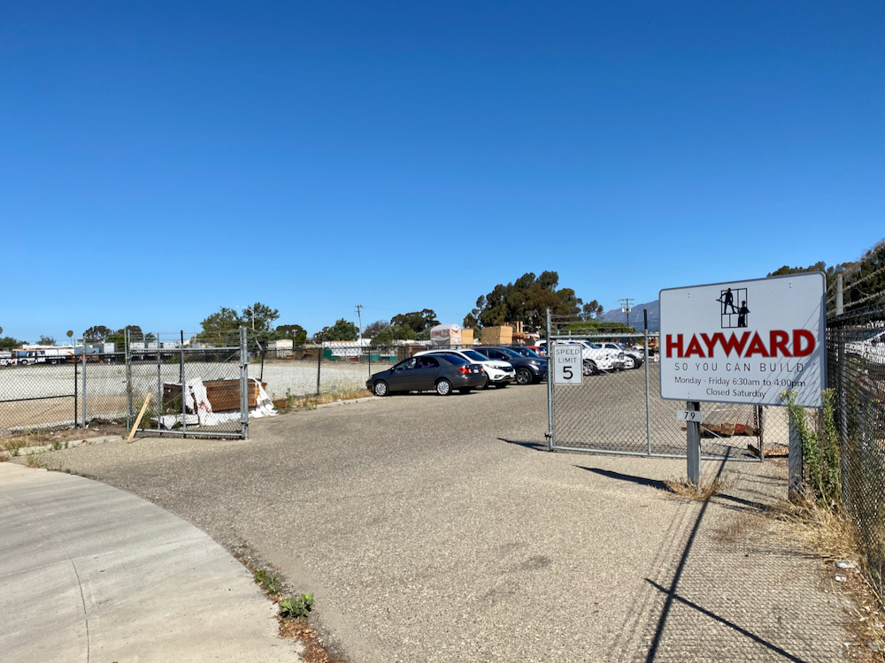
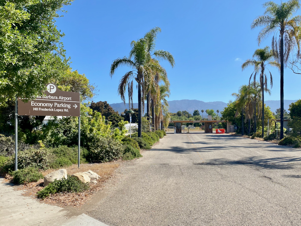
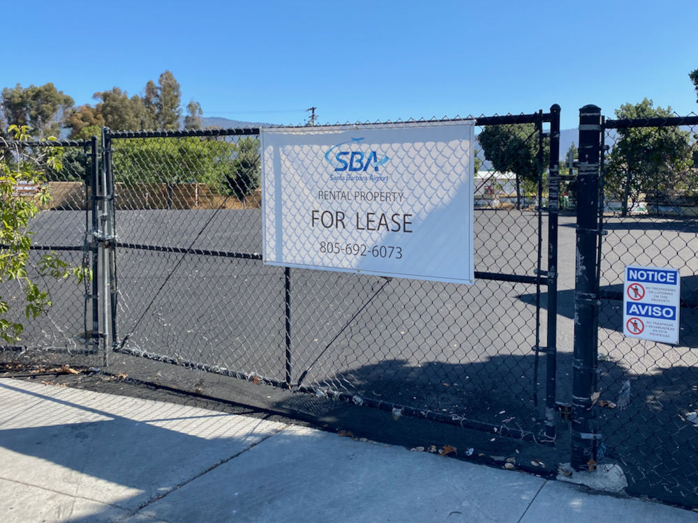
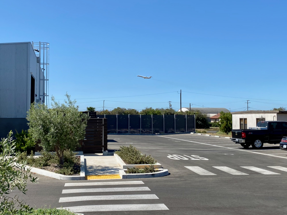
 Much, if not all, of the land is owned by the airport. I loved the midcentury elan of the economy parking lot, and I’m always tickled to see a plane take off. (By the way, this is where you have to park when the longterm lot is full, like it was over the July 4 weekend.)
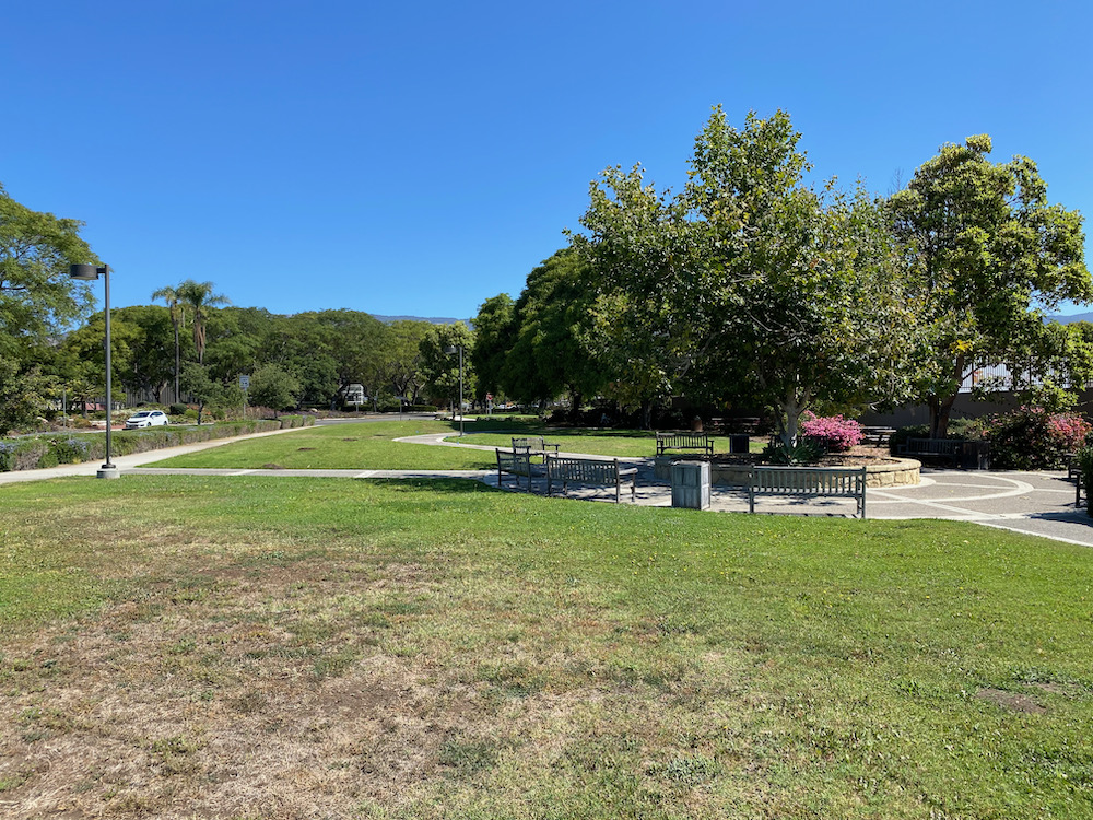
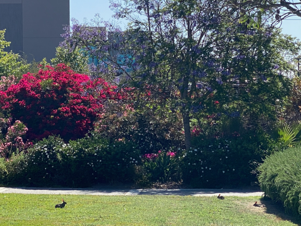
 On the west side of Direct Relief is a nice enough park, presumably a concession made by the organization in order to build such a hulking mass.
 The rabbits certainly like it.
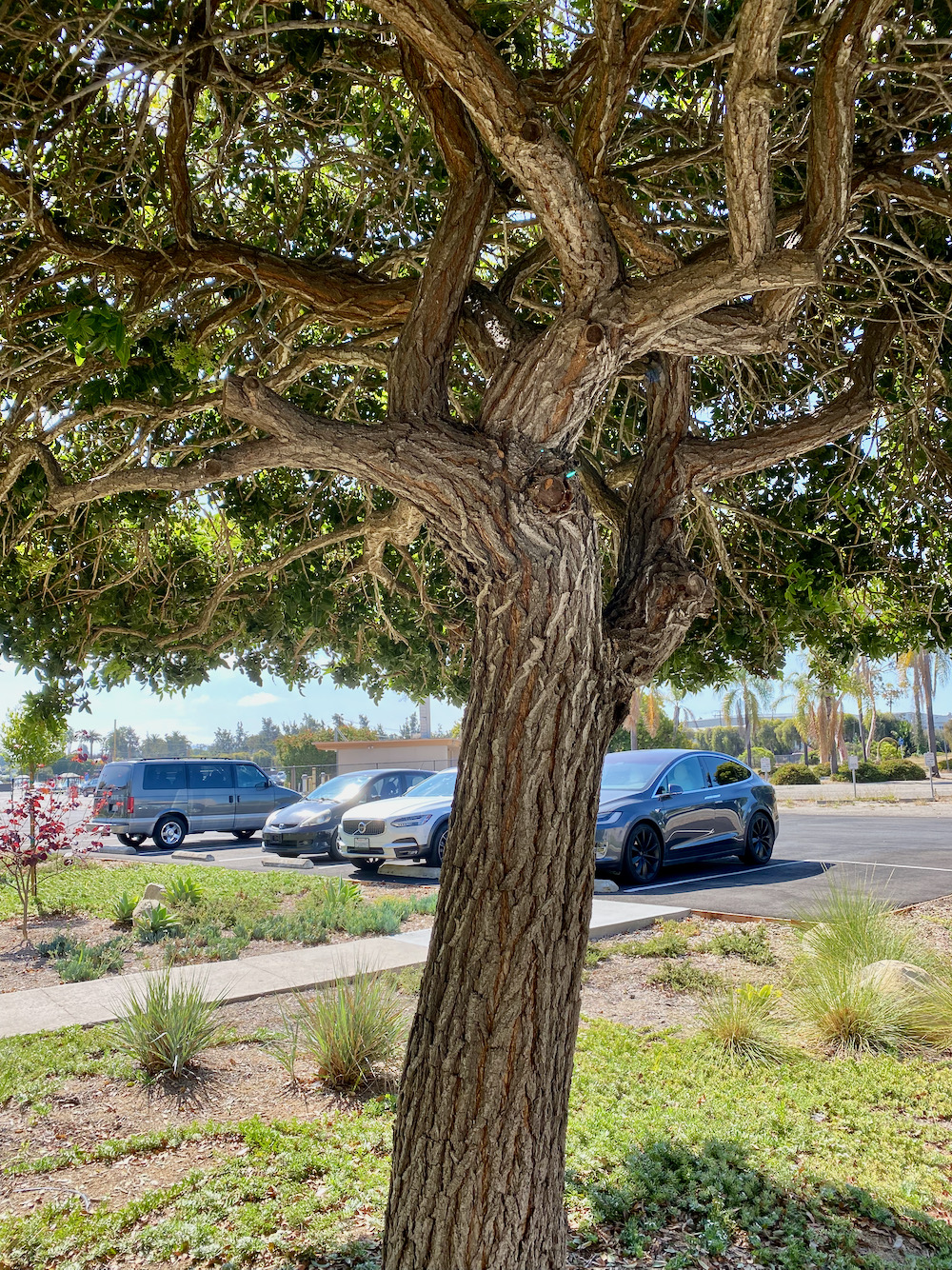
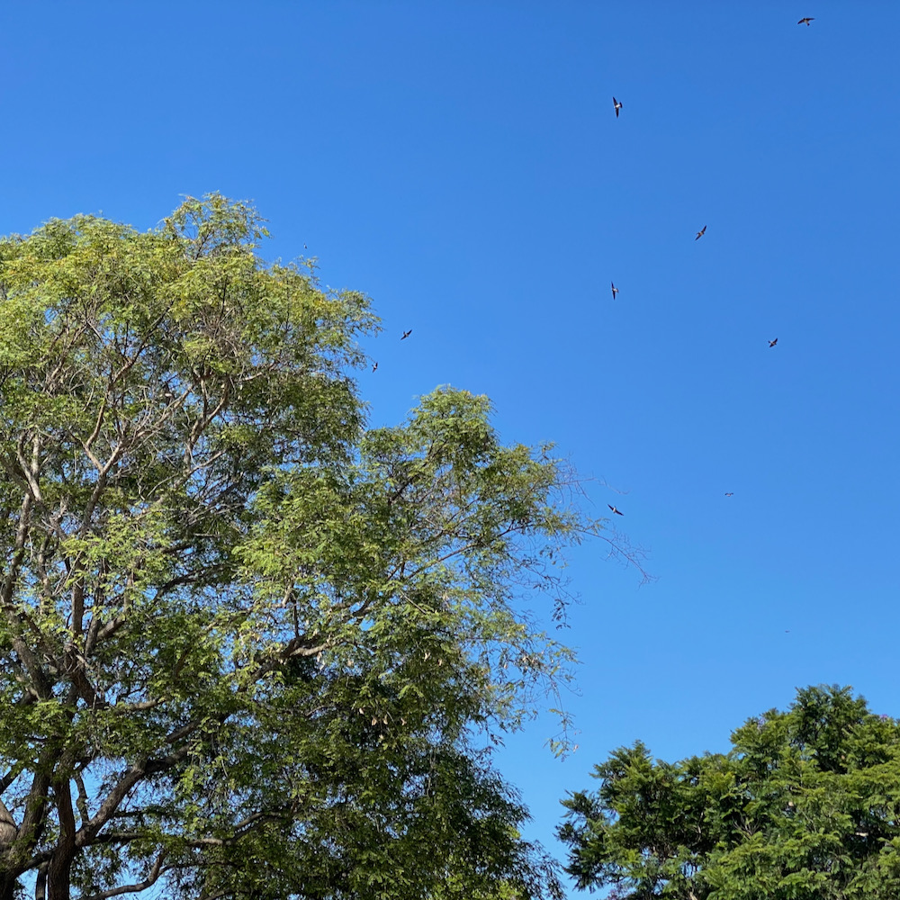
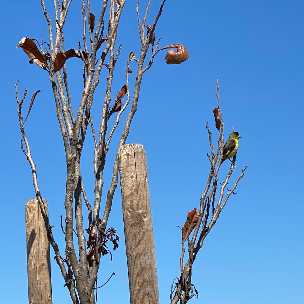
 While this is not a walk you take to admire nature, I managed to also find a tree worth shooting, a flock of birds swarming amid a handful of trees, and a lesser goldfinch.
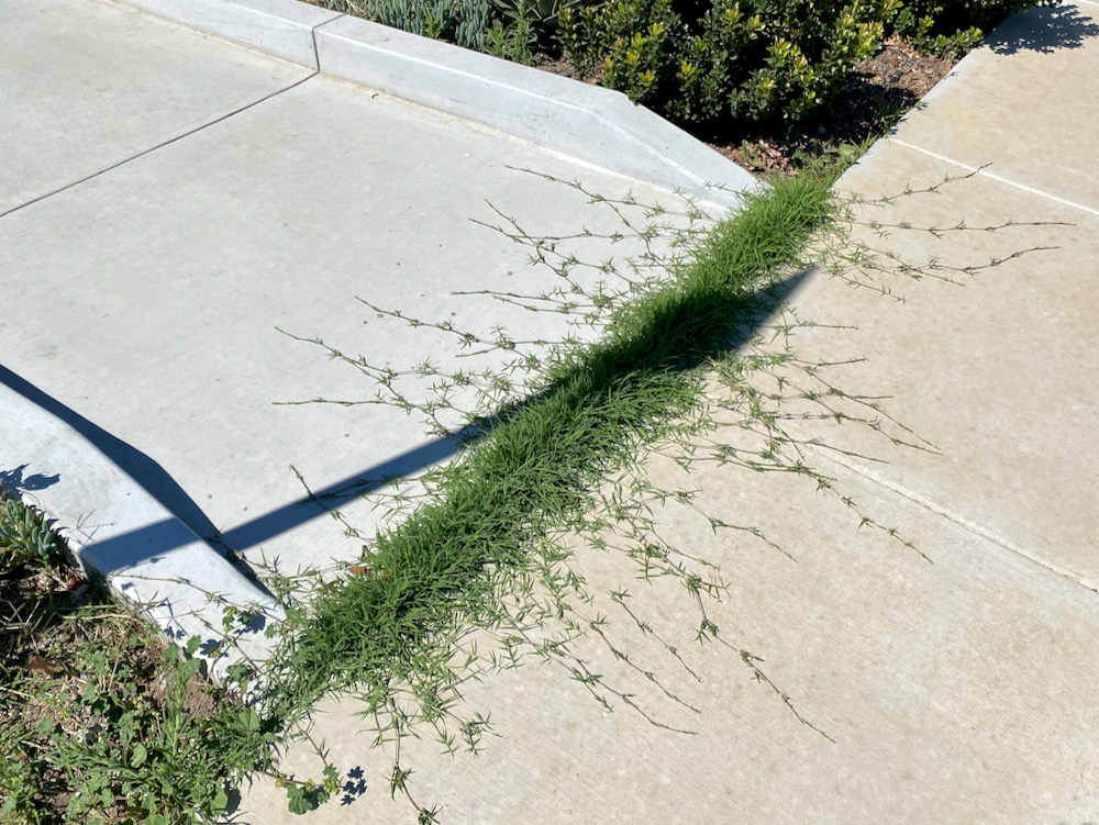
 Someday, of course, nature will reclaim the land….
 And, as is true wherever you walk, there were amusing little moments here and there. Anyone up for “Match Game”?
 A metal deer.
 A Cyclops version of this.
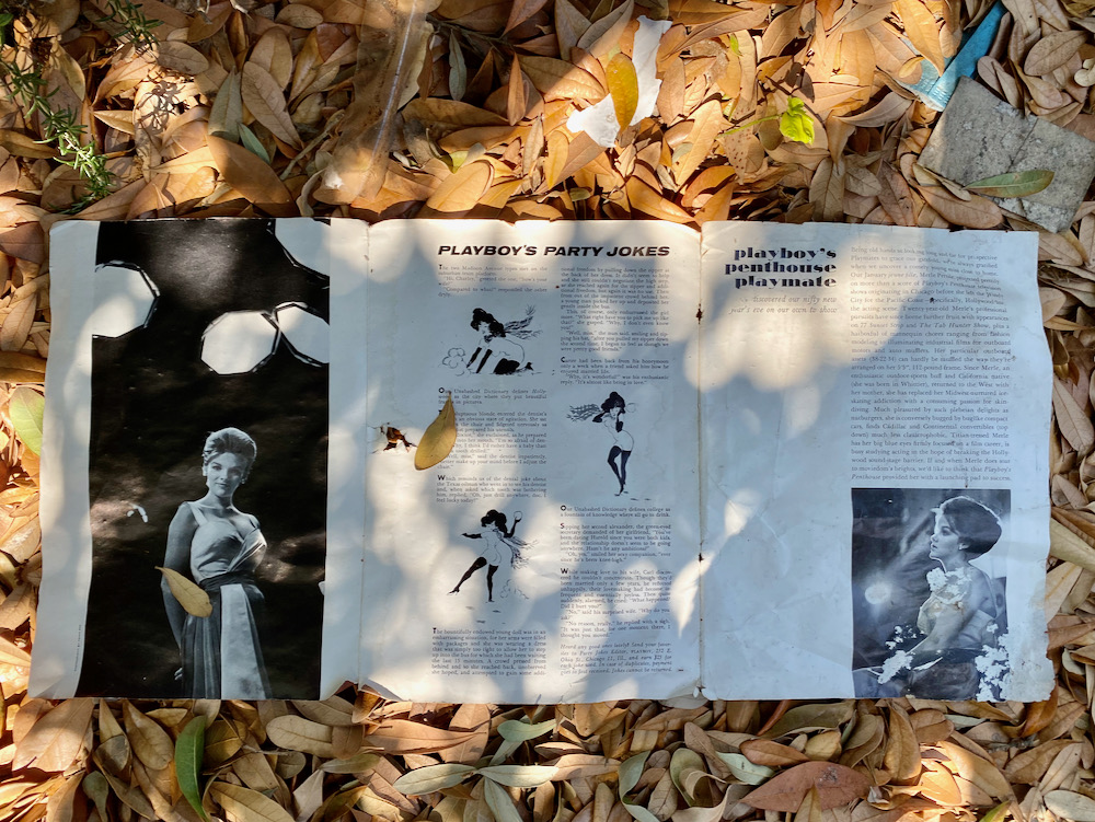
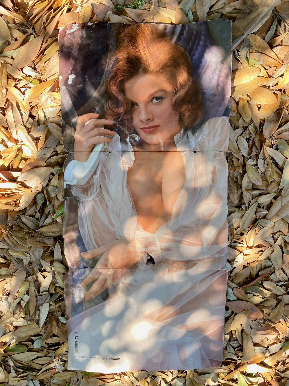
 Last but far from least, and at the risk of being disrespectful, I did find a dead body of sorts. Someone left behind the centerfold from the January 1962 issue of Playboy. The Playmate was actress Merle Pertile, who died in 1997. Had someone been nursing a crush for nearly six decades?
 ················
Walk With Me…
• Once Upon a Time in the Hedgerow…
• On the Golden Slope of Eucalyptus Hill
• The Past Is Still Present in Old Town Goleta
• The Haley Corridor Is Keeping It Real
• The Unvarnished Appeal of Yankee Farm
• Where Montecito Gets Down to Business
• The Small Pleasures of Bungalow Haven
• The Small-Town Charms of Samarkand
• Climbing the Back of Eucalyptus Hill
• Admiring the Backsides of Beachfront Houses on Padaro Lane
• Social Distancing Made Easy at UCSB
• In the Heart of the Golden Quadrangle
• Is There a Better Neighborhood for a Stroll Than West Beach?
• Up, Down, and All Around Montecito’s Pepper Hill
• E. Canon Perdido, One of Downtown’s Best Strolling Streets
• Montecito’s Prestigious Picacho Lane
• Whitney Avenue in Summerland
• School House Road and Camphor Place
················
Sign up for the Siteline email newsletter and you’ll never miss a post.


THIS post is charming. I love your writing and curiosity about an area I know very little about! Thank you.
Ditto! Going to go thru the past posts in the areas I am familiar with
Very interesting walk! I too like industrial areas & trash/recycling centers. They tell us who we REALLY are. (Especially since I’m a mavin of the unreal MAW at this time). Also when I was at UCSB we used some of the Marine Base bldgs. Thanks!!
Lovely meandering promenade though a comparative local Twilight Zone! Regarding Jimmy Fowler — https://www.linkedin.com/posts/jeff-wingg_veteransday2020-sbhs-activity-6670157551990128640-enKt?utm_source=share&utm_medium=member_desktop