
Ever since the Ashley Road bridge reopened, I’ve had much more reason to drive the back side of Eucalyptus Hill, but doing so has made me wonder what I was missing. As I’m always saying in these Walk With Me posts, you see so much more when you slow down. So I went for a walk….
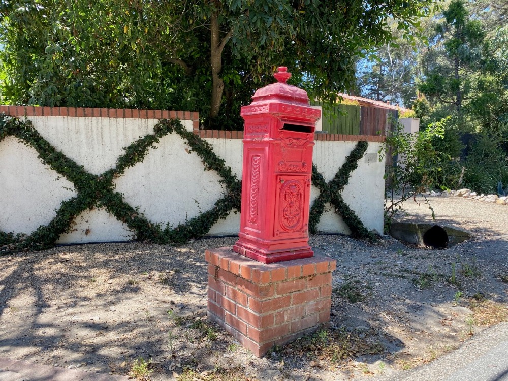
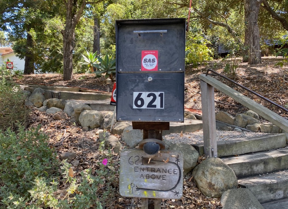
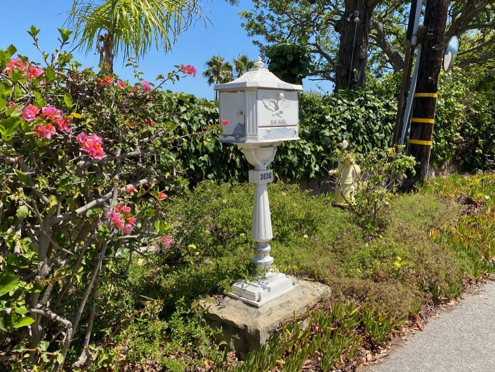
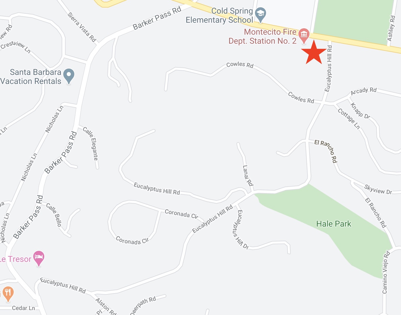 For example, I had never noticed this mailbox on Eucalyptus Hill Road, right off Sycamore Canyon Road, where there are also a few spots to park.
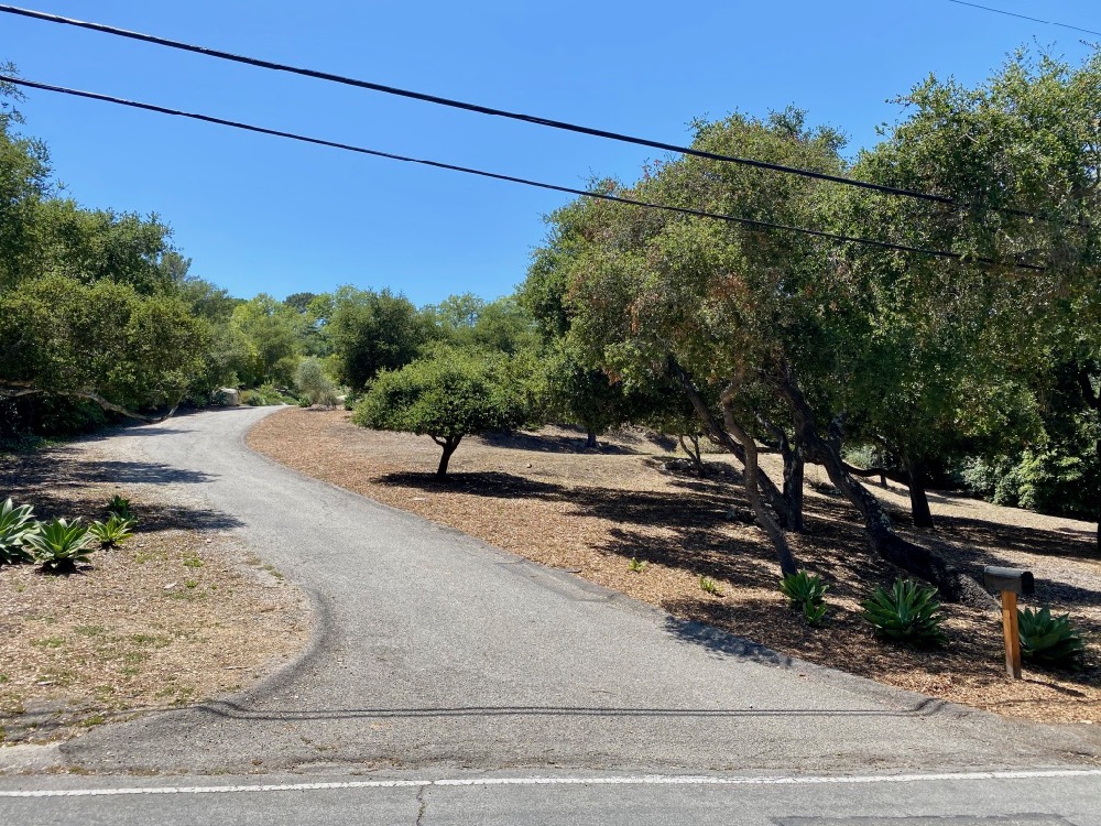
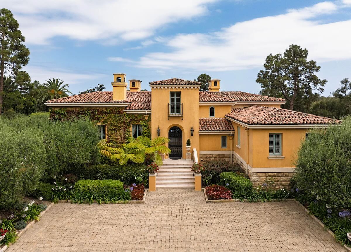
 Nearby is 3155 Eucalyptus Hill Road, currently on the market for $2.695 million. The house isn’t visible from the street, but I’d still be tempted to put up a fence and gate, because the usable outdoor space is on the road side of the house.
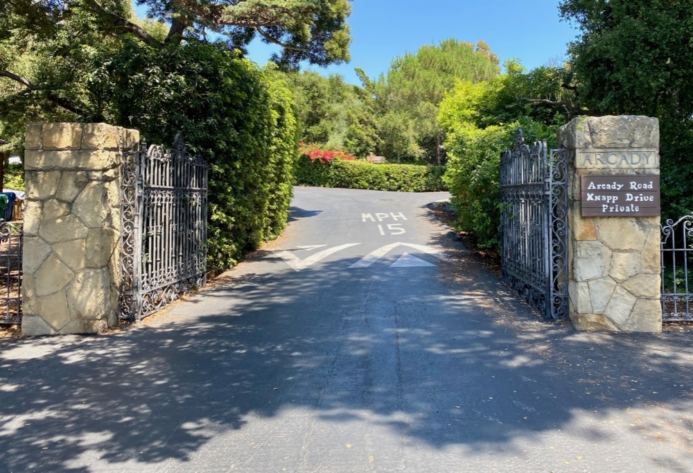
 Before starting out on Eucalyptus Hill Road, I made the choice not to investigate any of the streets to the east, or I’d still be walking now. I’ll have to make a separate jaunt of the old Knapp estate, Arcady.
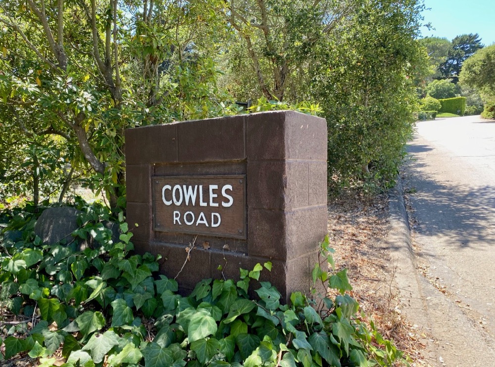
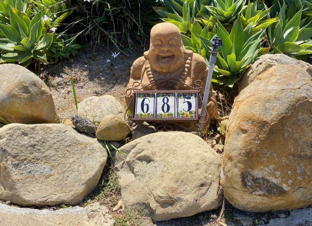
 Instead, I explored all of the streets to the west. I don’t think I had ever been on any of them, and I certainly didn’t know about the squat Cowles Road marker or the grinning Buddha at 685 Cowles.
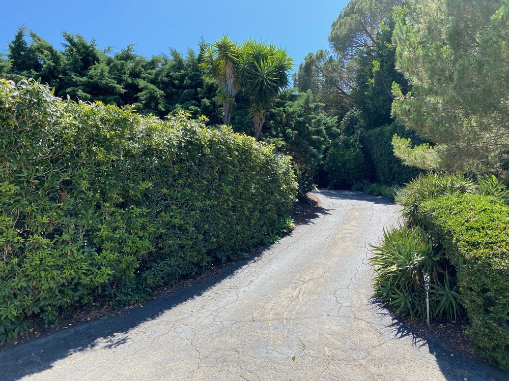
 Cowles is one of those hillside streets where all the houses on one side are hidden above street level…
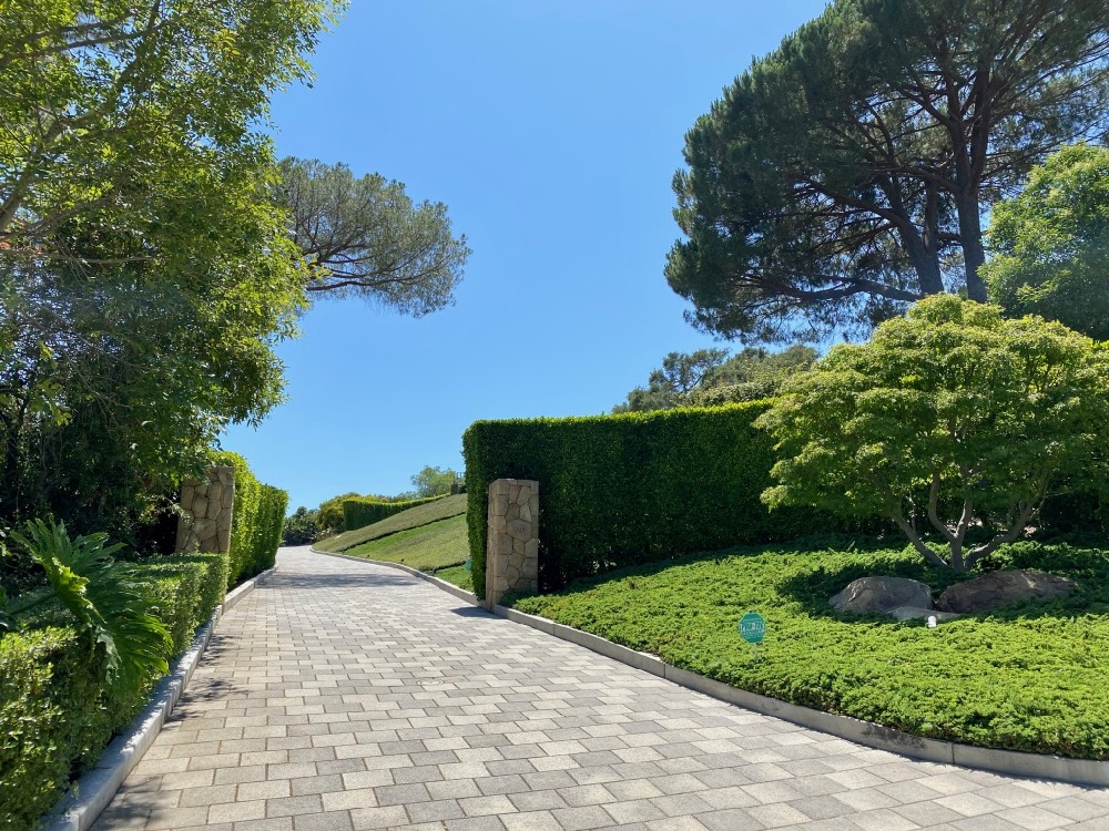
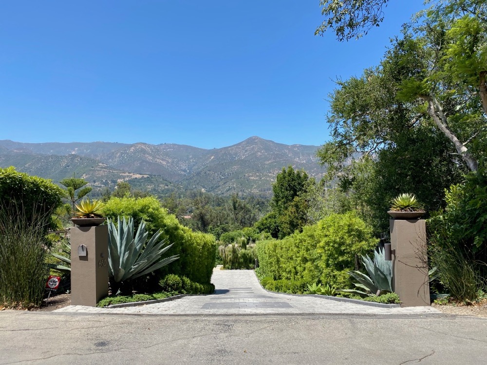
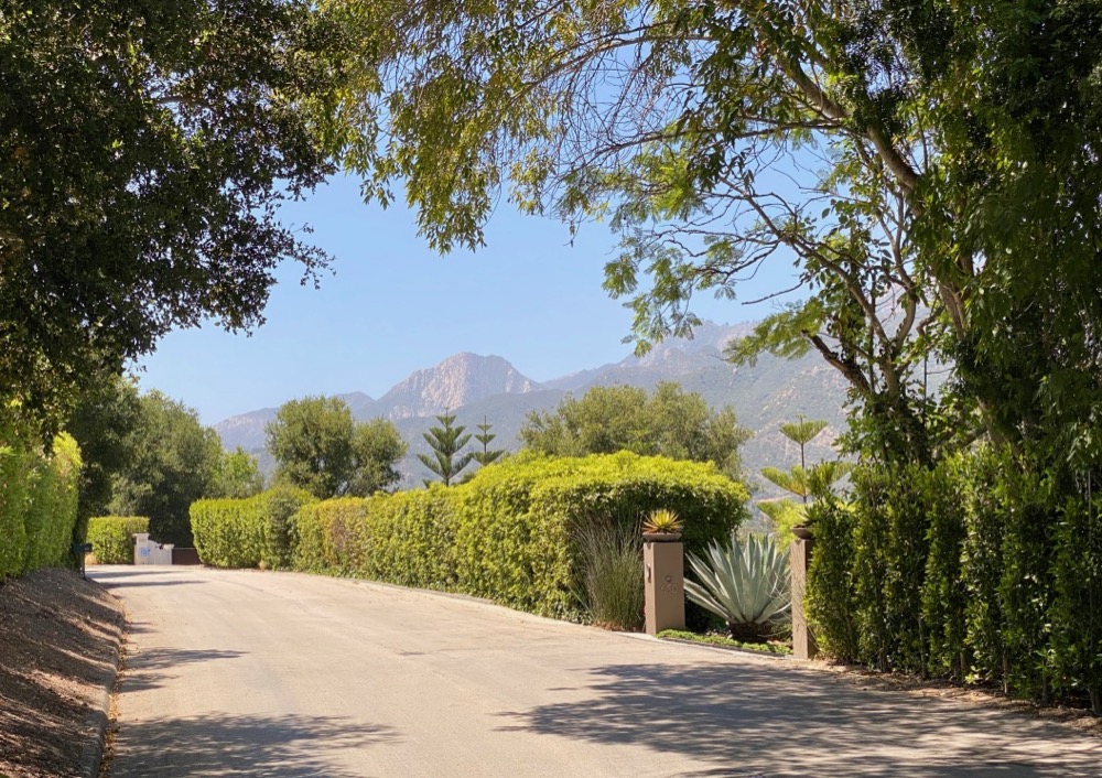
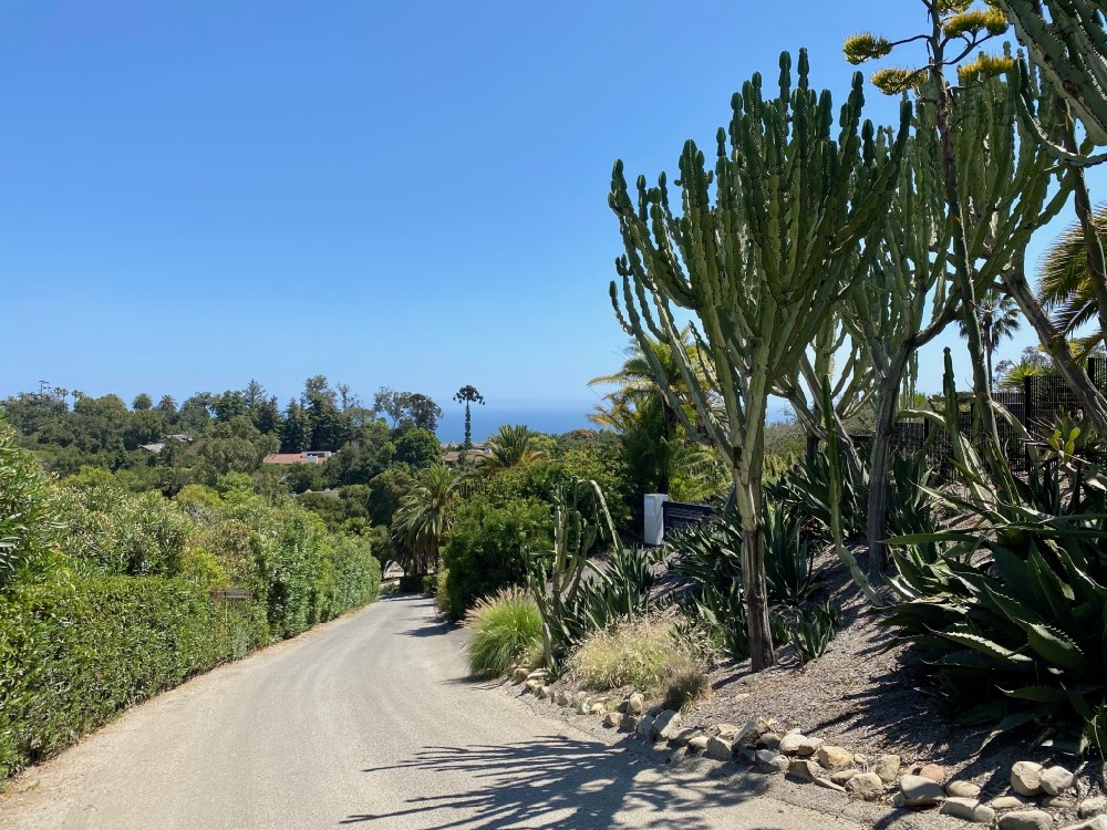
 …and all the houses on the other side are down the hill. Many of the lower houses get marvelous mountain views on the approach.
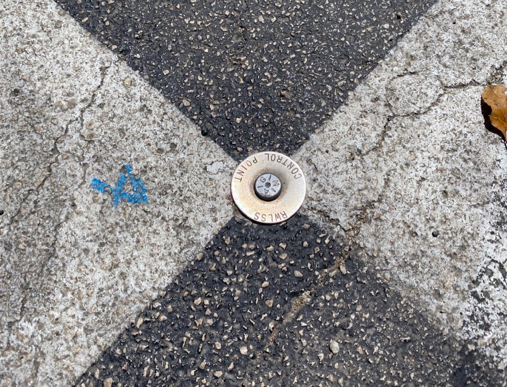
 Here’s a closer look at that black-and-white marking on the pavement. I assumed it was something to do with surveying, which a quick Googling bore out: RWLSS likely stands for Reese Water & Land Surveying Services, based in Los Osos.
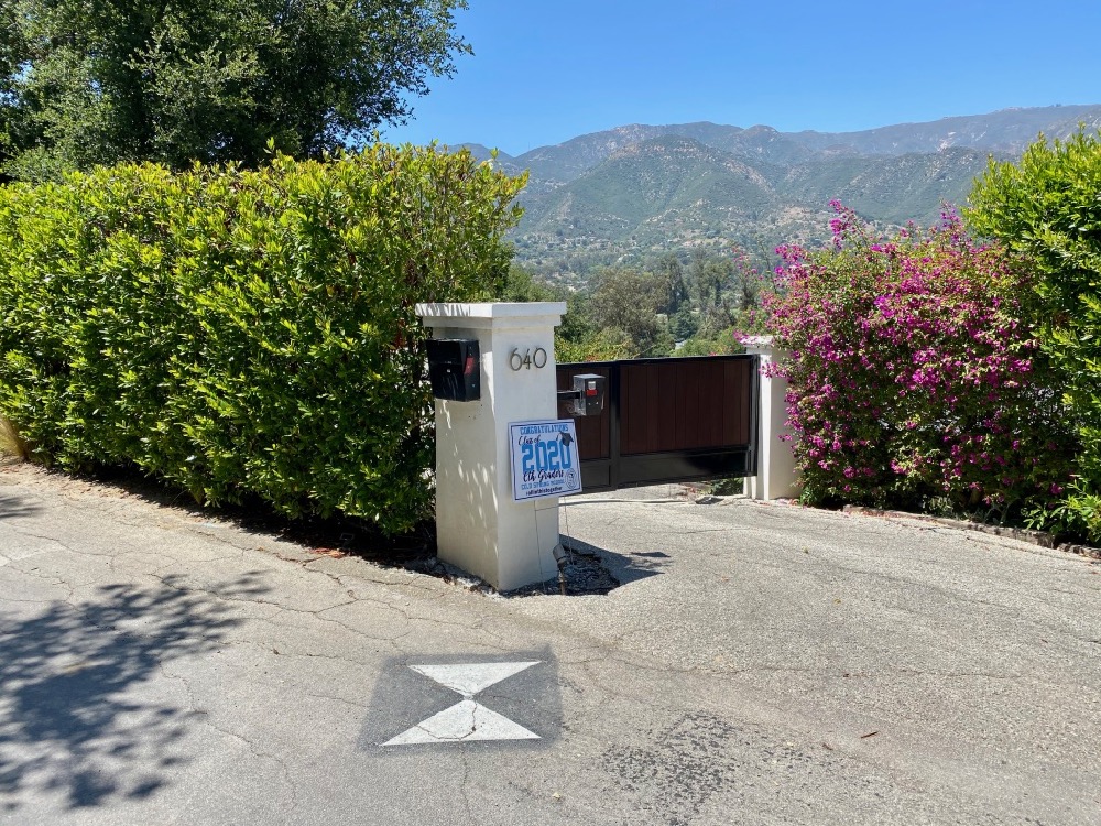
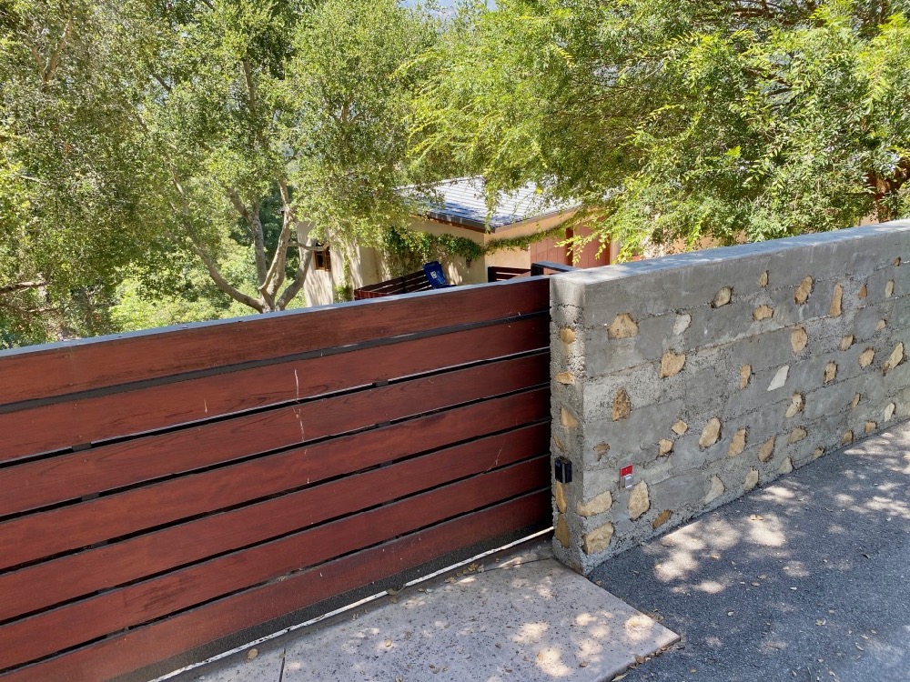
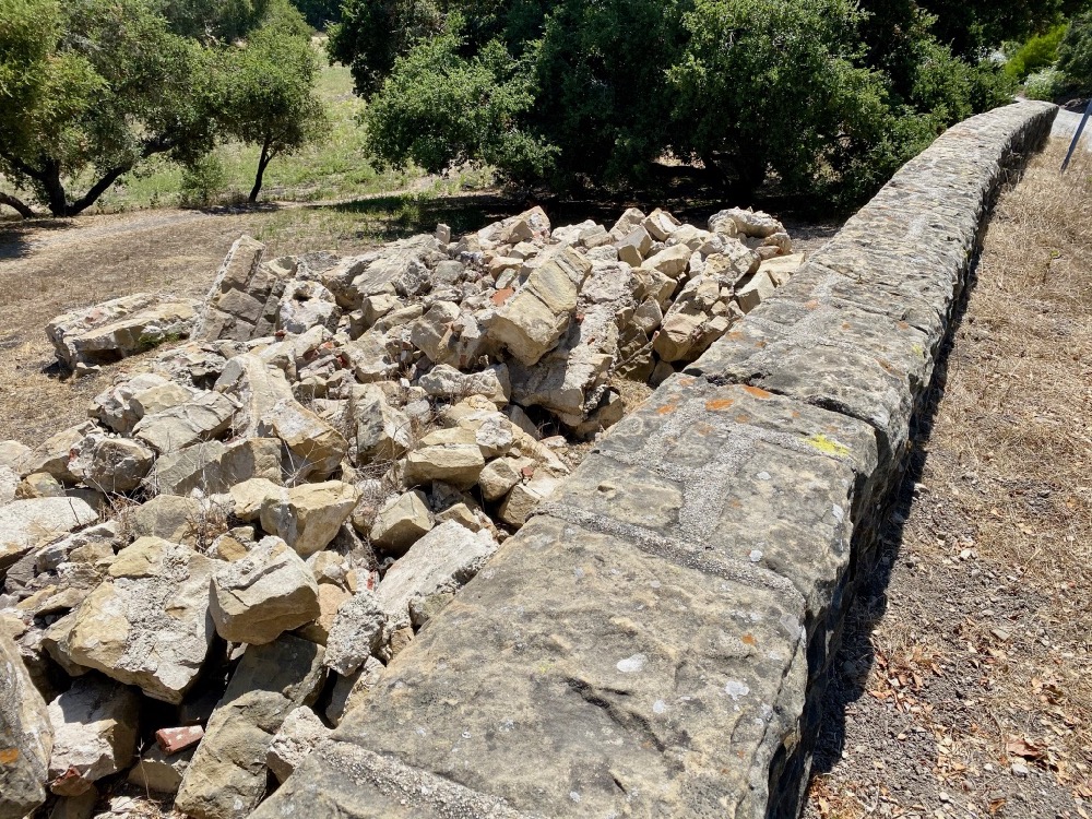
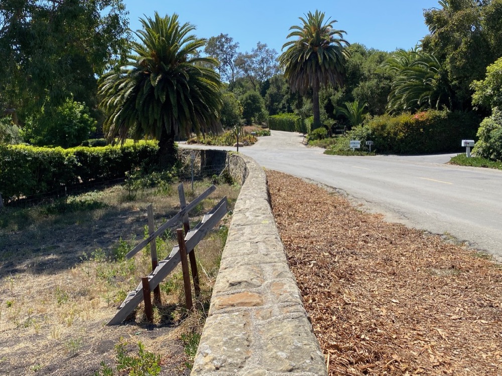
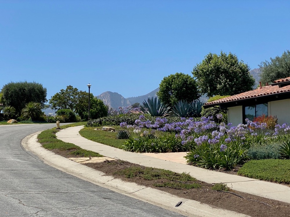
 The first photo below doesn’t quite do justice to the mountain view. I don’t know the name of that peak, but it looked like something from Yosemite. The other photos show an interesting wall surface and a homemade sign directing visitors around the bend.
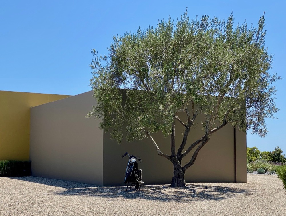
 The next offshoot street to the west is El Rancho Road, which is shorter and less satisfying. The highlight was the motorbike—relic or sculpture?—in front of a modern house.
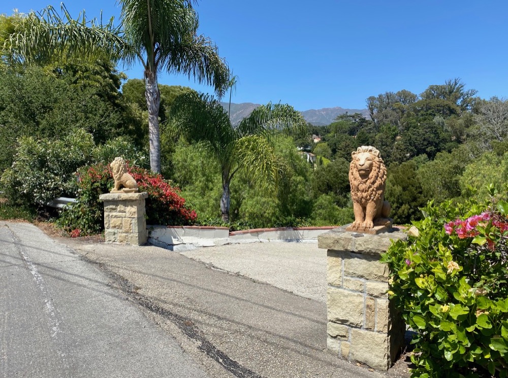
 Back to Eucalyptus Hill Road…. I always find it amusing when a homeowner installs gatepost ornaments far grander than the house warrants. And there was another ye olde mailbox—could they be vestigial from when the area was first subdivided?
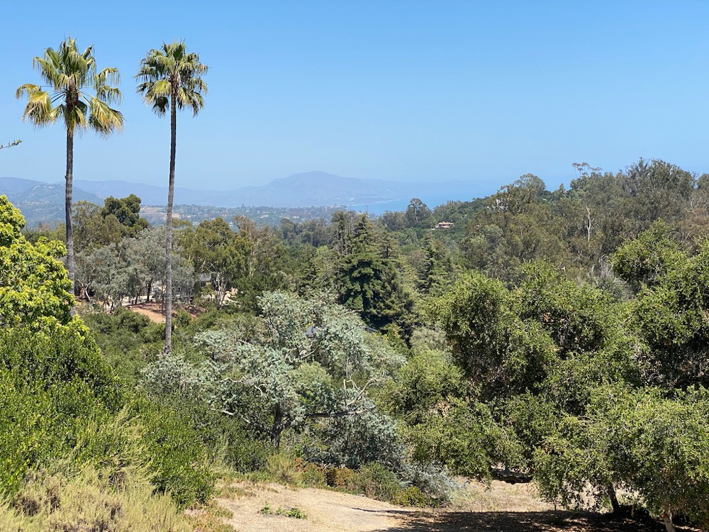
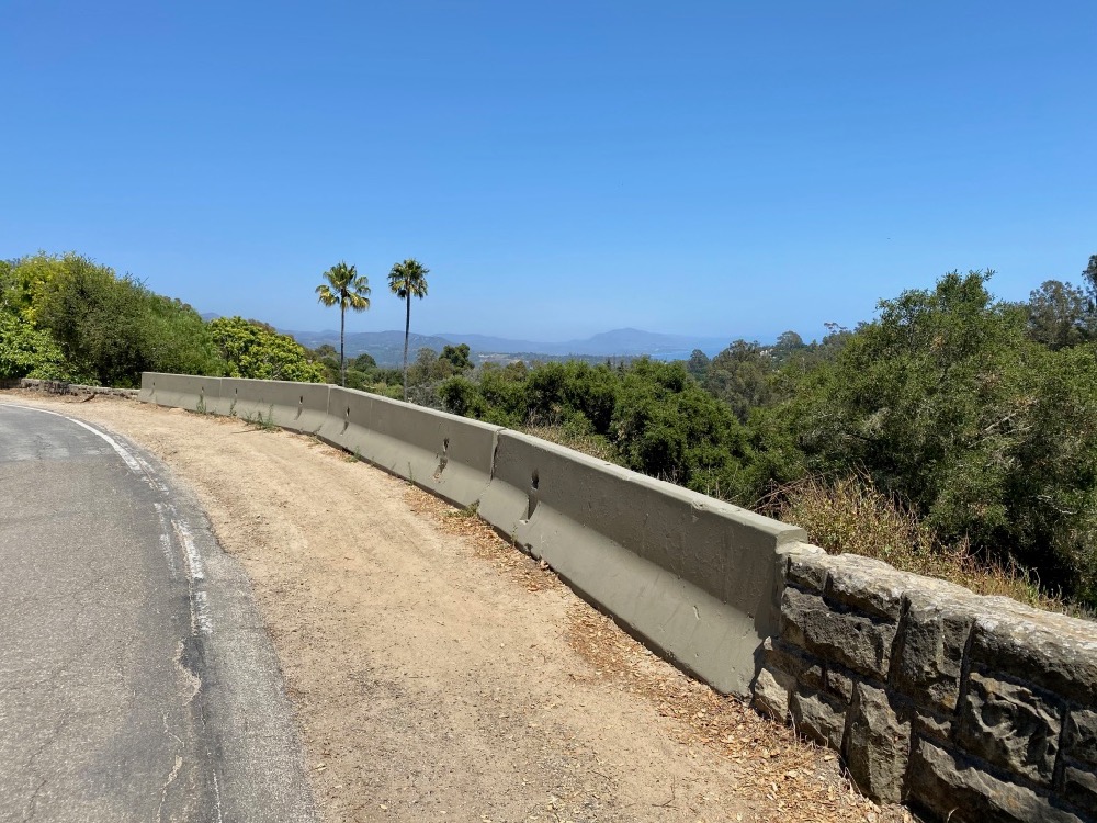
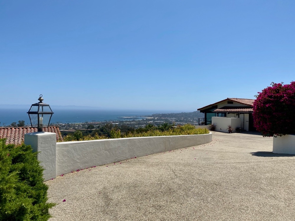
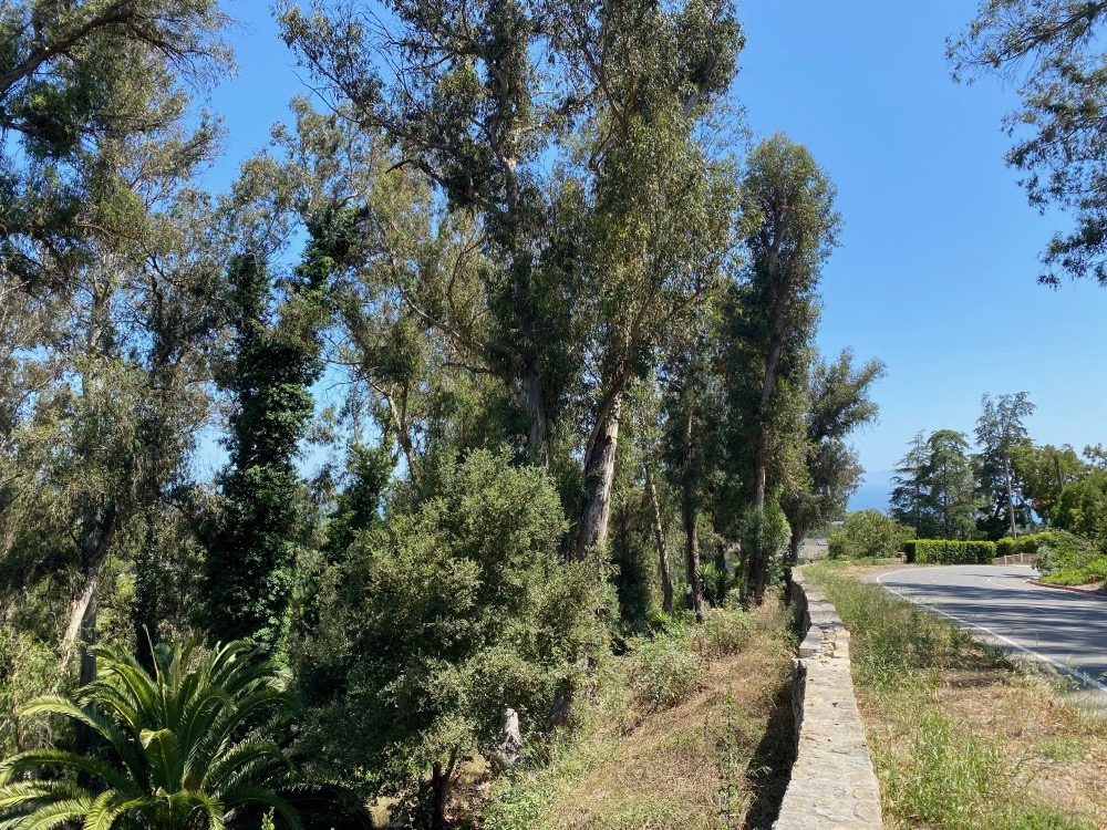
 The view really opens up at this point.
 Could the view have been so distracting that someone drove into the barrier? Here’s hoping it gets rebuilt someday.
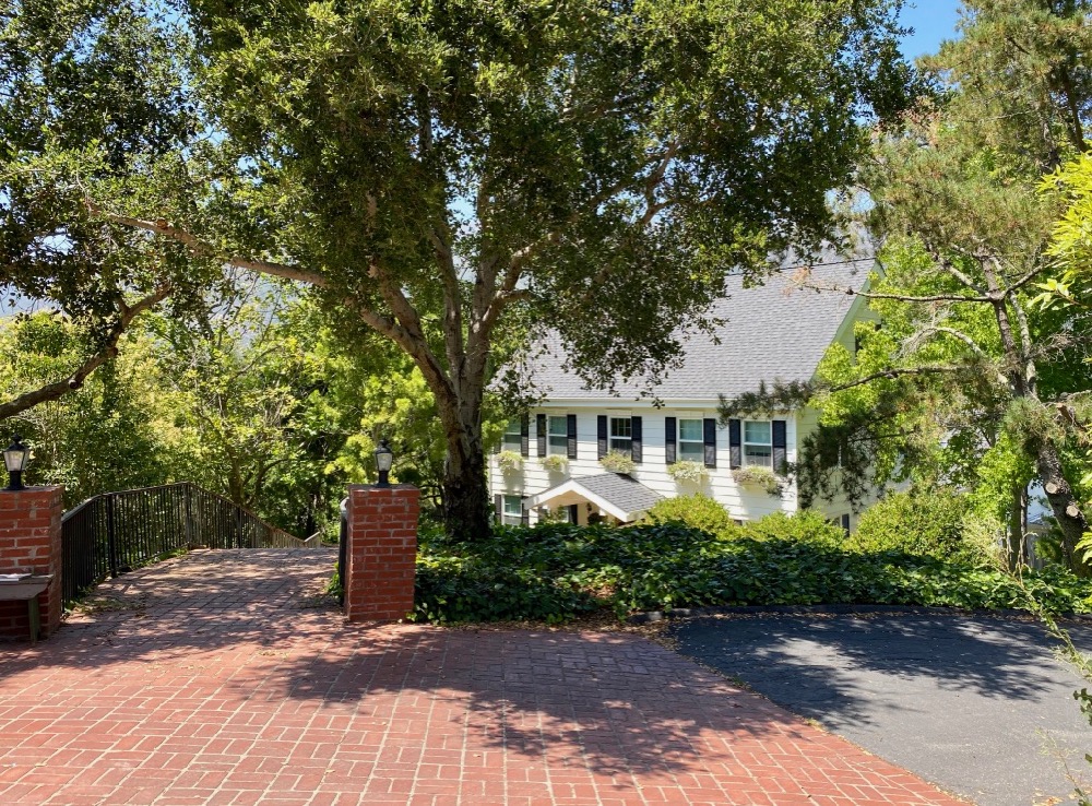
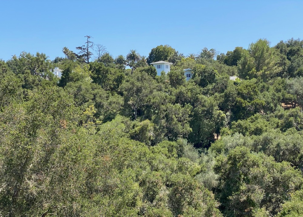
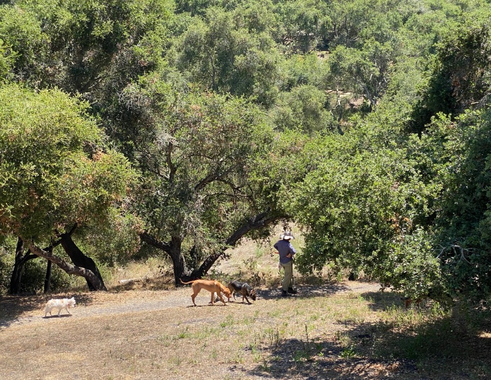
 A house with a terrific tower looms above Hale Park. I’ll explore the park another day; the woman walking five or six dogs might’ve reached for the pepper spray had I hopped the wall.
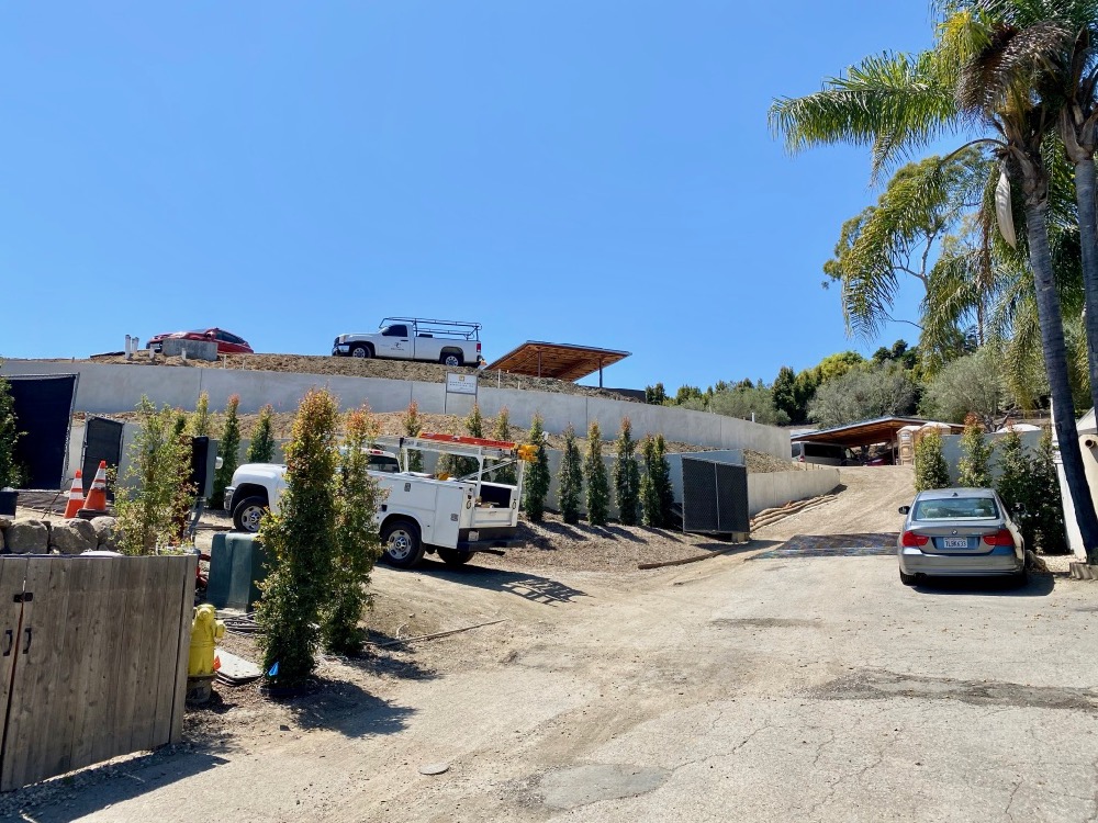
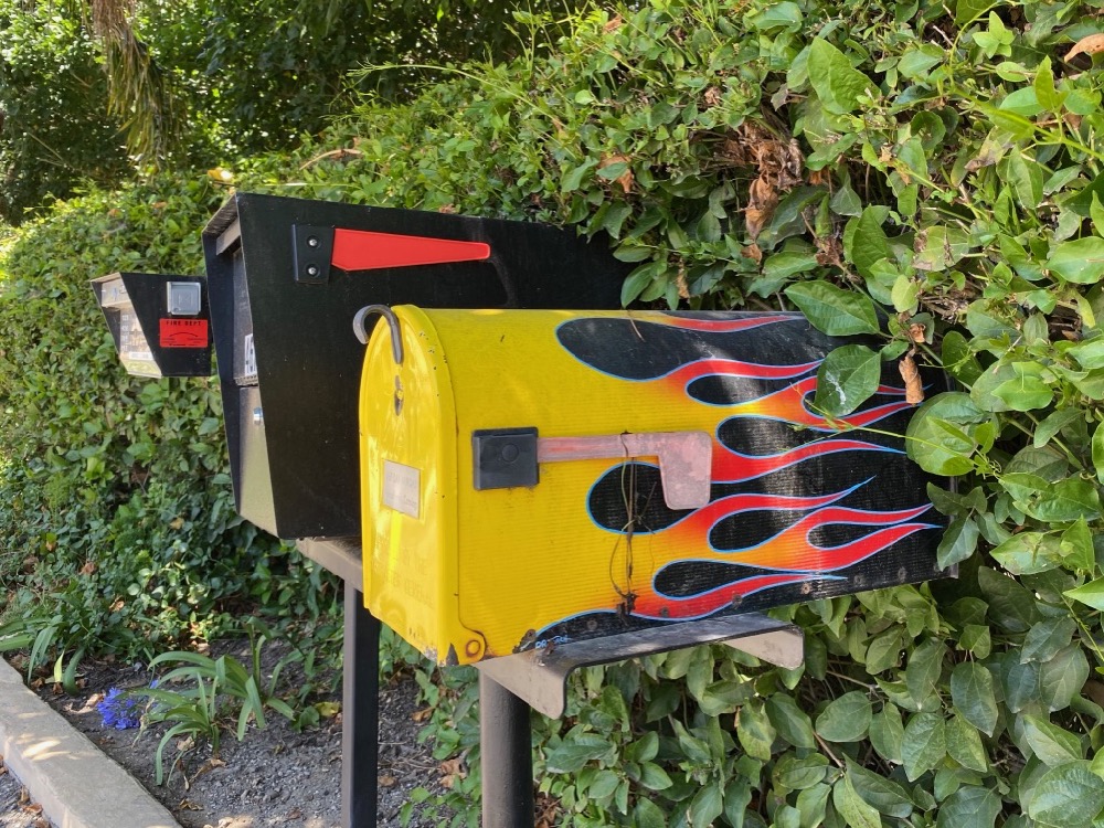
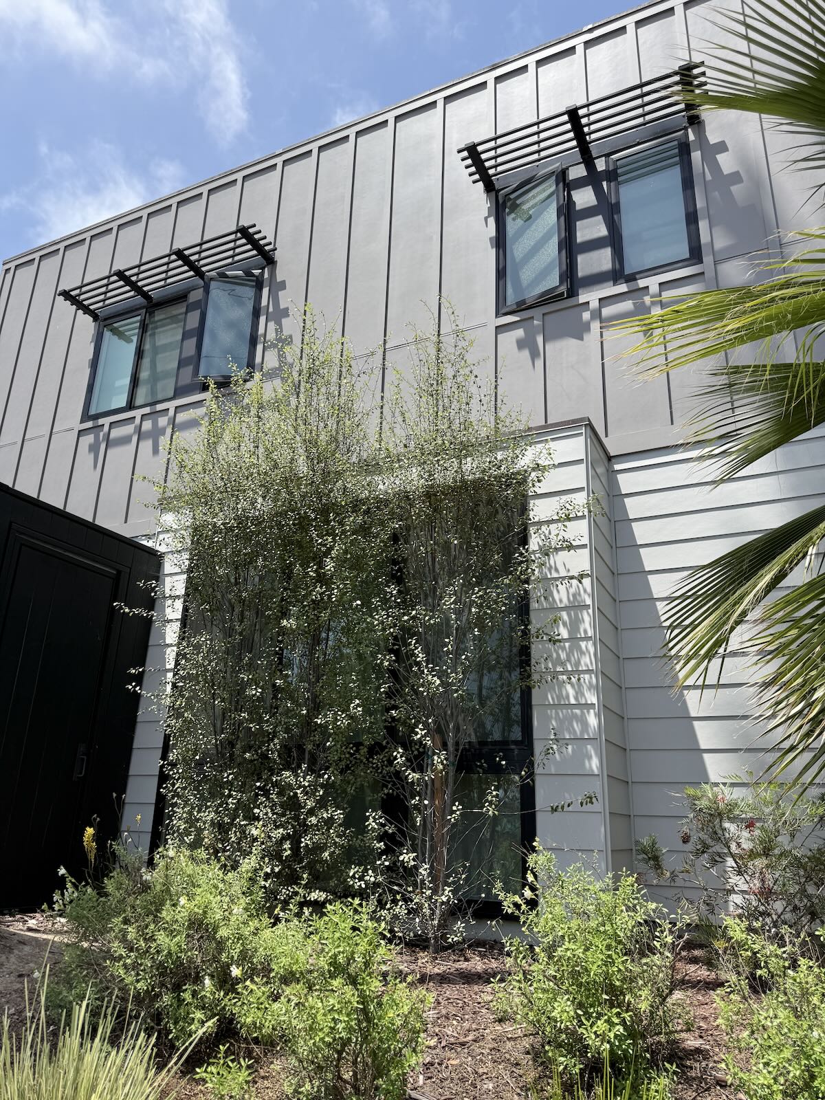
 The next offshoot street is Lanai Road—where, aptly enough, palm trees flank the entrance. The street is rather steep, but at the cul-de-sac I was rewarded with a) a house under construction by Leonard Unander Associates that will have one heck of a view; b) a rad mailbox; and c) a stunning walk back down.

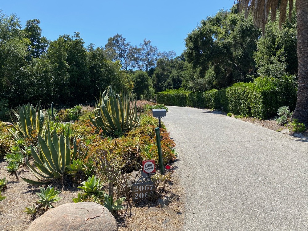
 Google Maps says that the next street branching off to the west is also called Eucalyptus Hill Road, but there’s no street sign, and an emphatic “private/no trespassing” sign warned me off. Looking at a map later, I saw that 2067 and 2069 Eucalyptus Hill Road are huge lots.
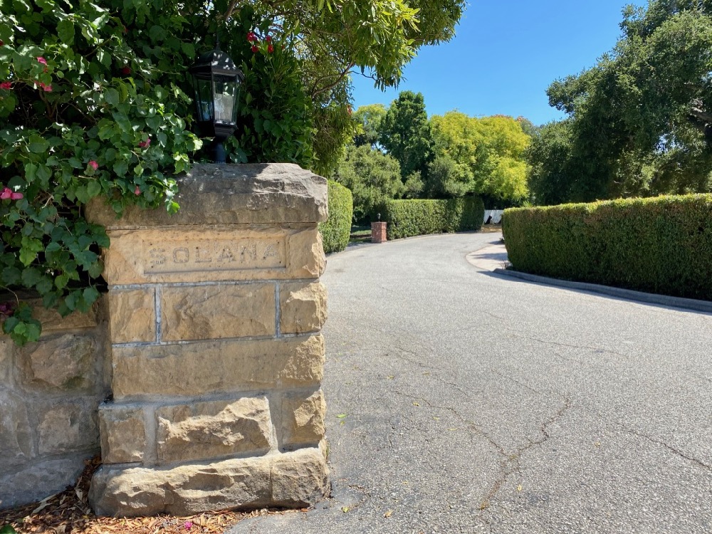
 The old Solana sign at Eucalyptus Hill Drive is left over from when that whole area was one of Montecito’s “hilltop baron” estates. This Riskin Partners page has more on the spectacular property.
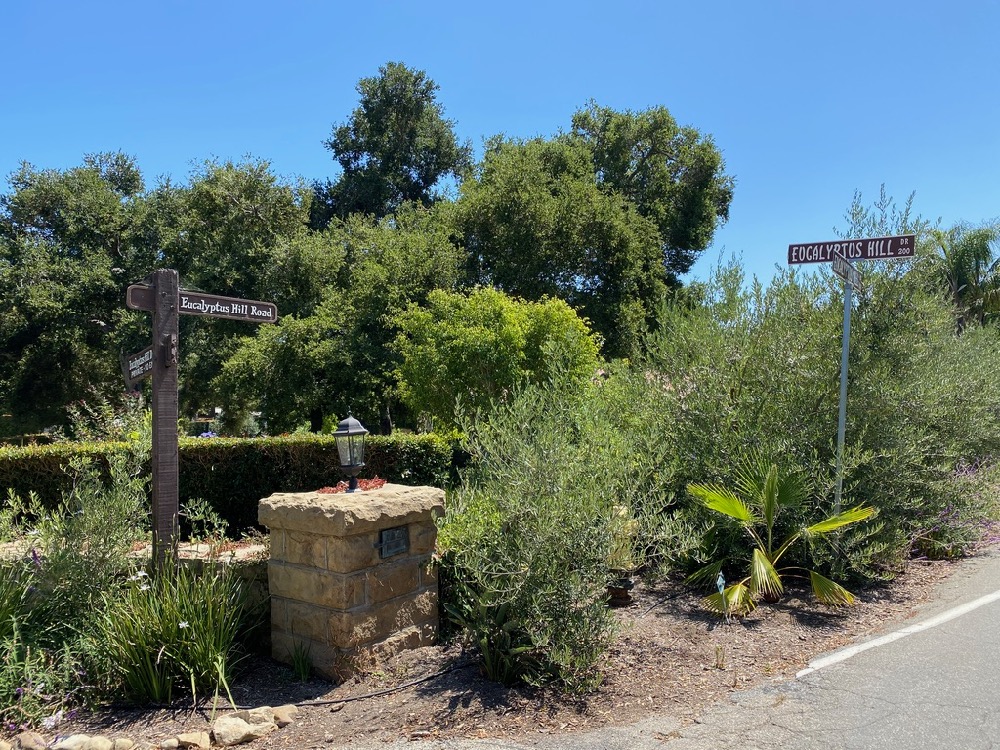
 The double street signs pictured below led me to believe that this was the border between Montecito and Santa Barbara, but according to Google Maps, I crossed into Santa Barbara a while back. Did the folks on Eucalyptus Hill Drive add the Montecito-style sign in an effort to be thought of as in Montecito?
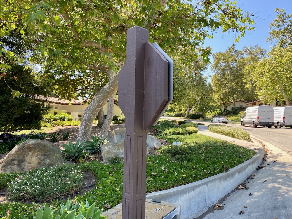
 The final offshoot street on this walk was Coronada Circle. One of the things I love about Santa Barbara is the variety of architecture, but the developer of Coronada Circle clearly doesn’t share that opinion. Every house on the street looks nearly identical, and HOA regulations presumably keep it that way. You have admire the thoroughness of the uniformity—even the stop sign got bougied up.
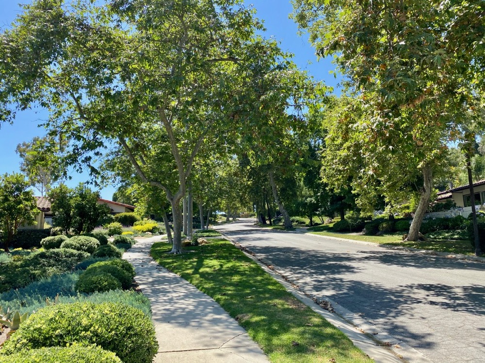
 Some of Coronada Circle’s houses have crazy ocean views; some get the mountains; some have neither. I bet there’s a corresponding social hierarchy. Also, note how lush everyone’s grounds are. Does the community have a shared well?
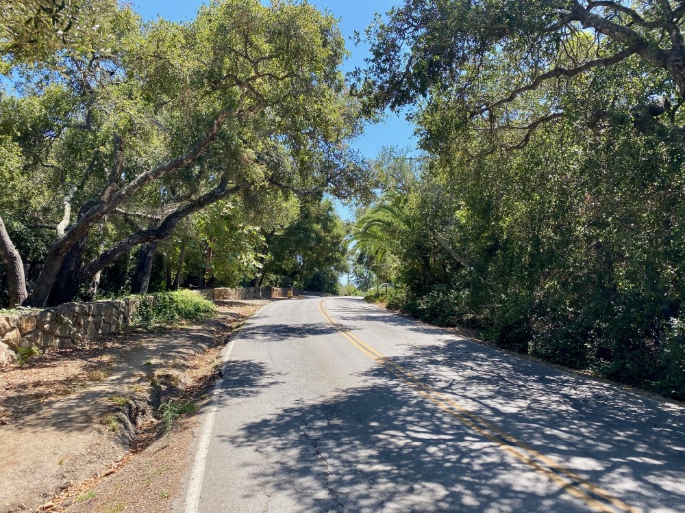
 Back on Eucalyptus Hill Road: a eucalyptus grove from which the area probably got its name.
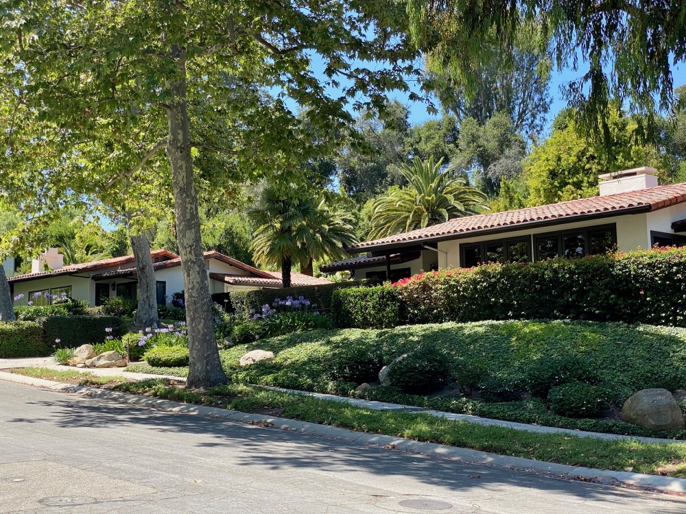
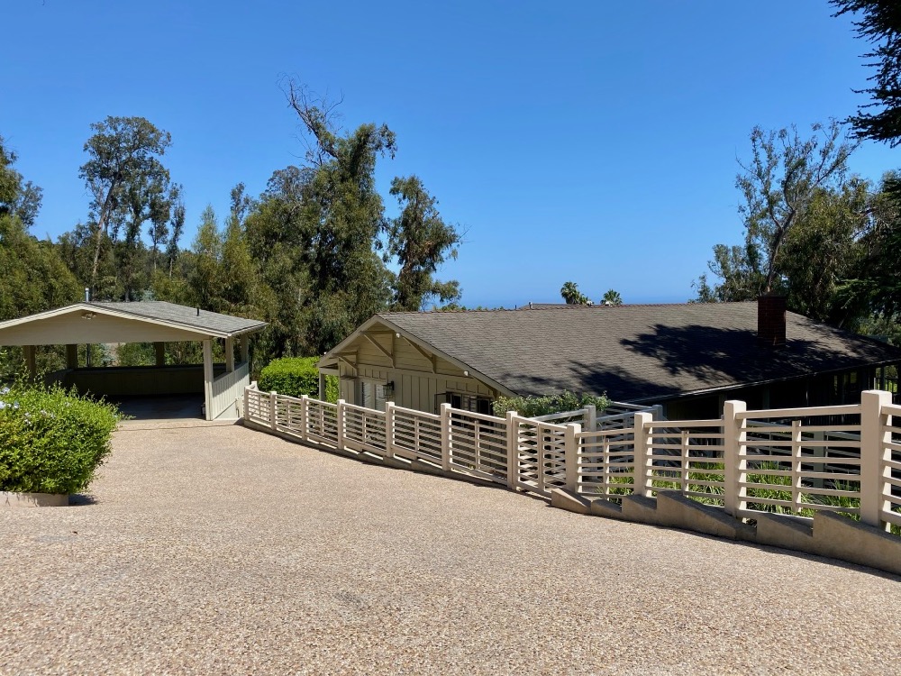
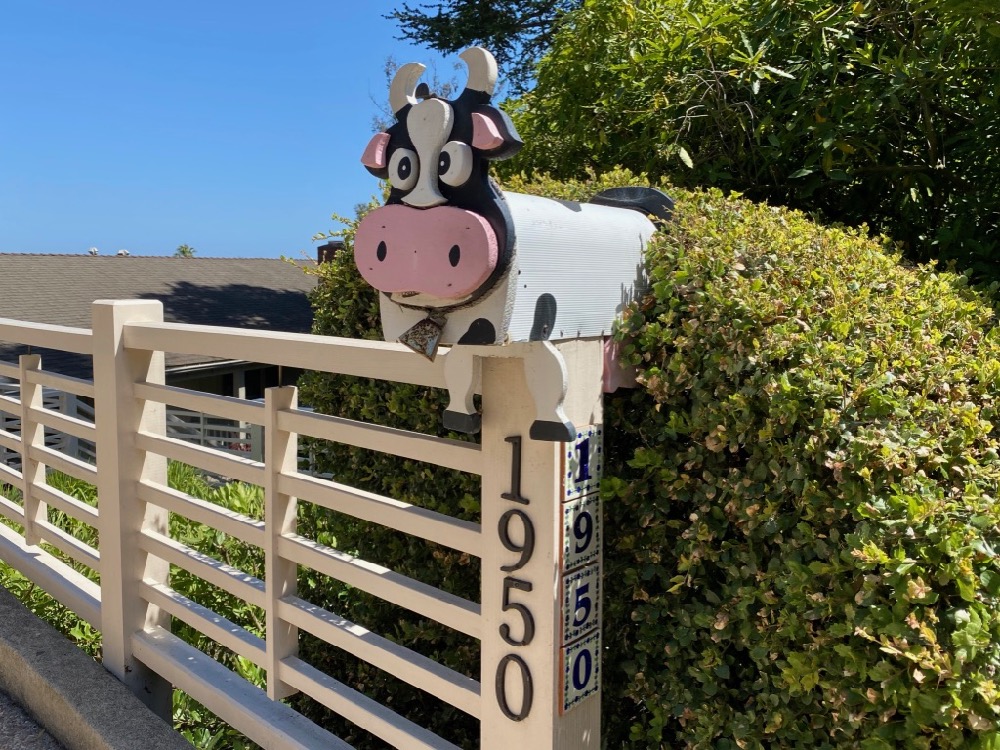
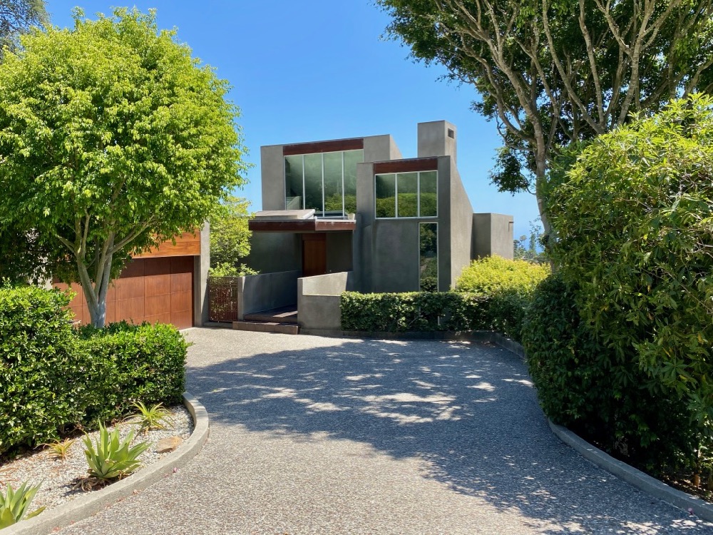
 Next-door neighbors 1950 and 1944 Eucalyptus Hill Road are a study in contrasts, and I like them both for different reasons. Pre-pandemic, the latter was on the market for $3.325 million.
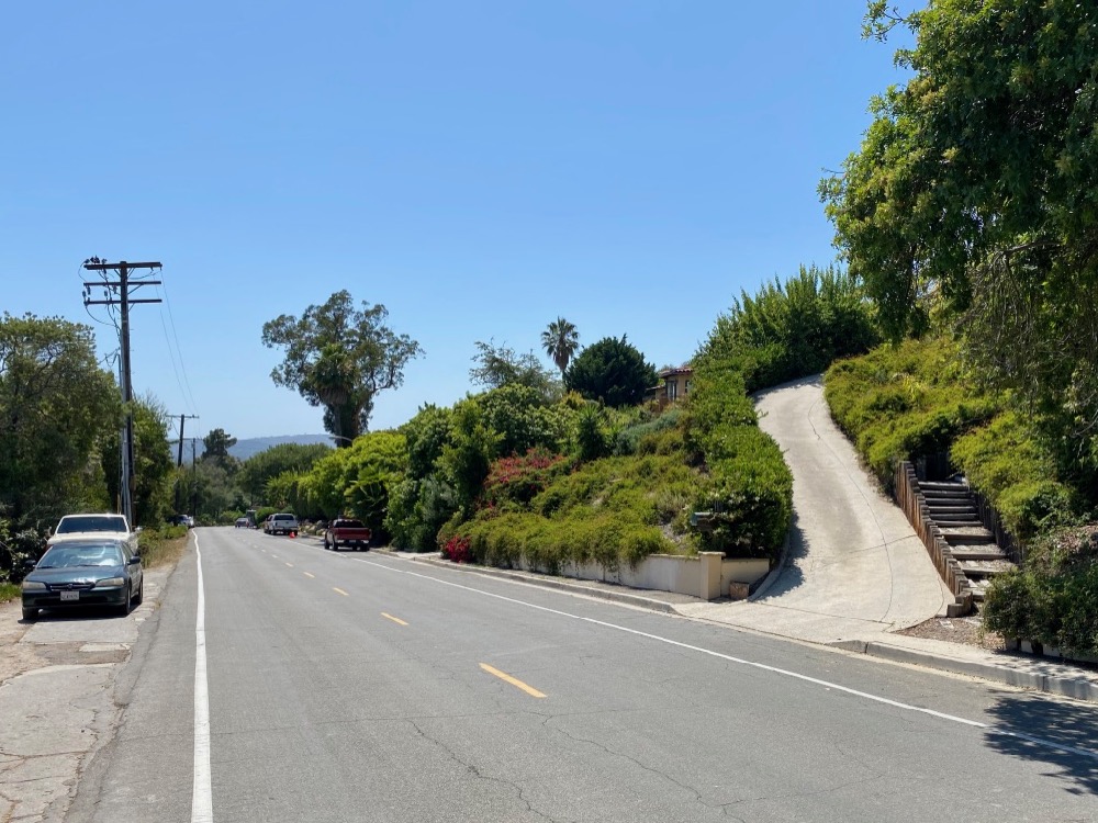
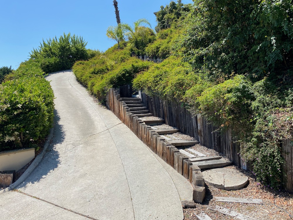
 Every time my husband and I drive past the steep driveway below, he jokes that it would be brutal in the snow. (East Coast humor.) Not until this walk did I notice the funky stairs running alongside it.
 Until next time….
Previous “Walk With Me” posts:
• Admiring the Backsides of Beachfront Houses on Padaro Lane
• Social Distancing Made Easy at UCSB
• In the Heart of the Golden Quadrangle
• Is There a Better Neighborhood for a Stroll Than West Beach?
• Up, Down, and All Around Montecito’s Pepper Hill
• E. Canon Perdido, One of Downtown’s Best Strolling Streets
• Montecito’s Prestigious Picacho Lane
• Whitney Avenue in Summerland
• School House Road and Camphor Place
················
Sign up for the Siteline email newsletter and you’ll never miss a post.


In reference to: https://www.sitelinesb.com/climbing-the-back-of-eucalyptus-hill/
The double street signs pictured below led me to believe that this was the border between Montecito and Santa Barbara, but according to Google Maps, I crossed into Santa Barbara a while back. Did the folks on Eucalyptus Hill Drive add the Montecito-style sign in an effort to be thought of as in Montecito?
This area, according to:
https://california.hometownlocator.com/cities/map,n,montecito-ca,fid,1661052.cfm
is in Montecito.
A map of Santa Barbara city boundaries indicates that south of Hale Park is Santa Barbara, and north of it is Montecito. So Eucalyptus Hill Drive is definitely Santa Barbara, not Montecito. There’s a detail of the area at https://www.sitelinesb.com/wp-content/uploads/2022/04/Eucalyptus-Hill-Santa-Barbara-boundary.jpg—the yellow part is Santa Barbara.