
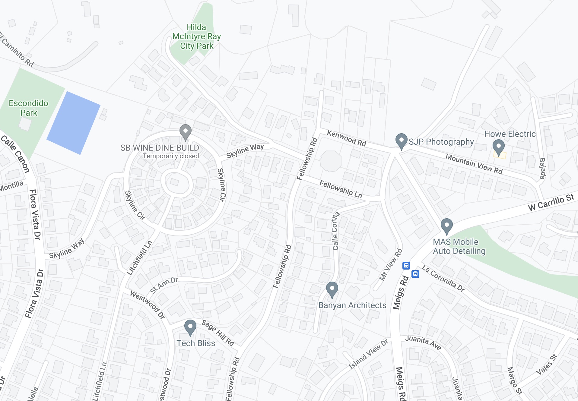
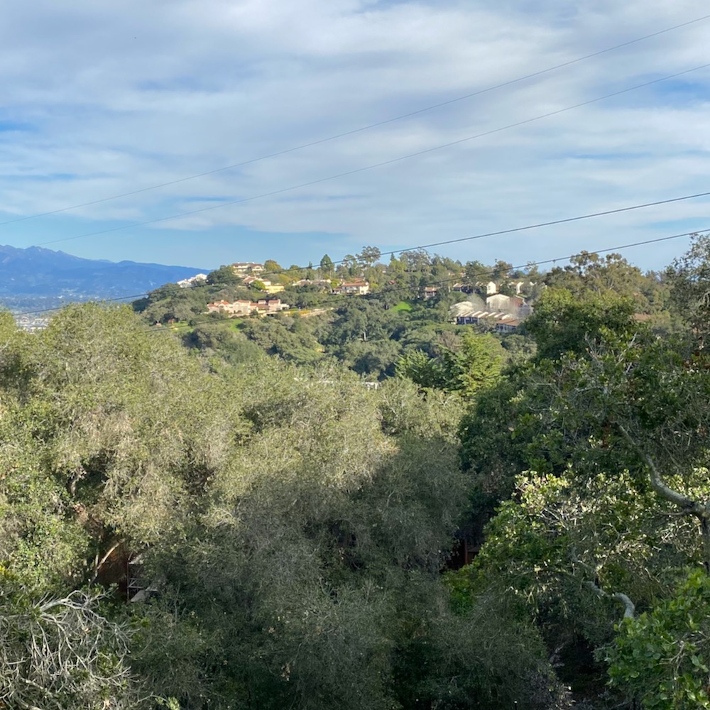
When my friend L. said she’d be up for another walk, I figured we should go someplace new to both of us. And I’m irresistibly drawn to a circular street. So we set off for the western half of Alta Mesa—and in particular, the area around Skyline Circle.
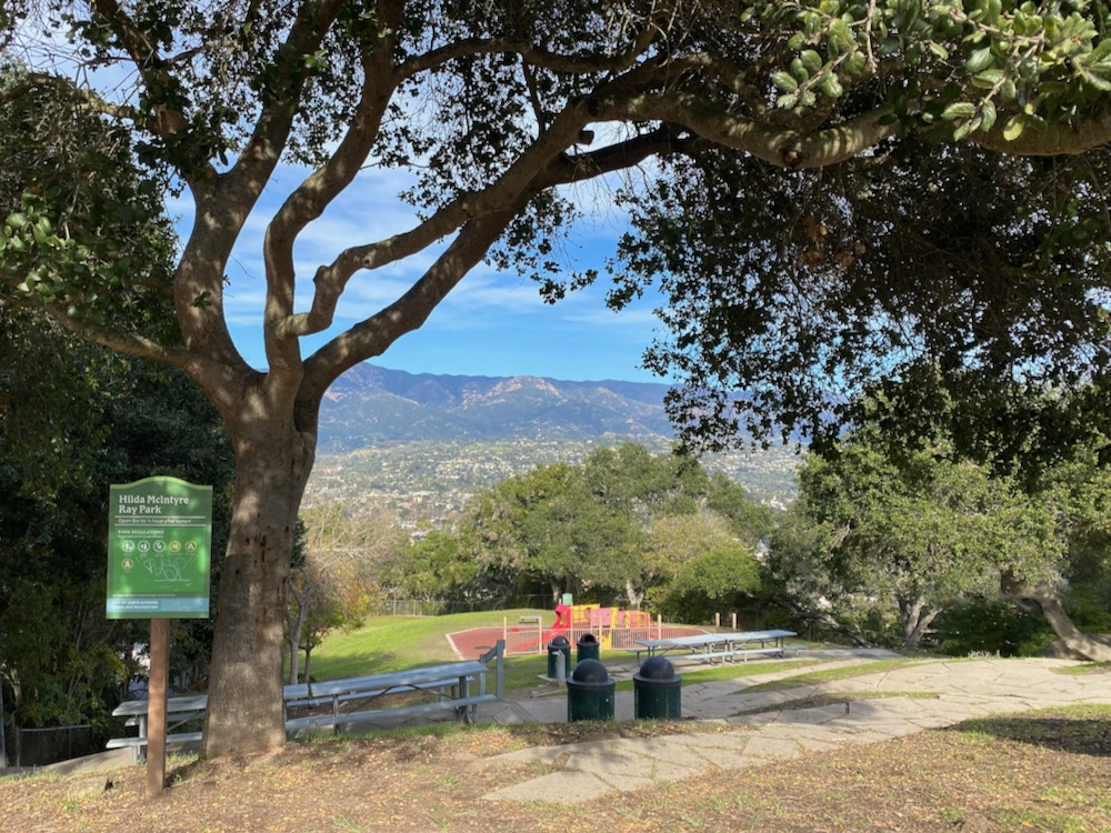
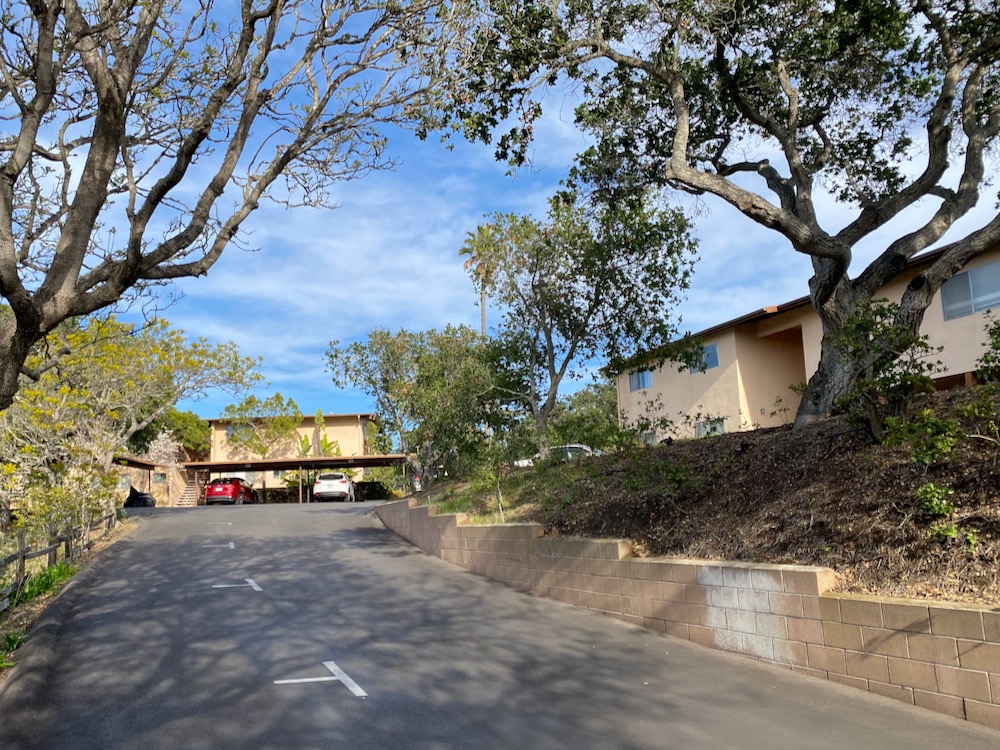
 We parked at Hilda McIntyre Ray Park, which has some picnic tables and a playground, with the mountains as a backdrop. According to the plaque, Prescott H. Ray donated the land to the city for use as a park in 1957 in honor of his late wife. What a delightful, generous gesture.
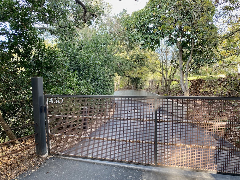
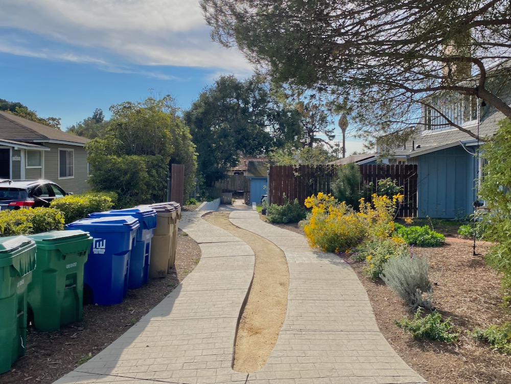
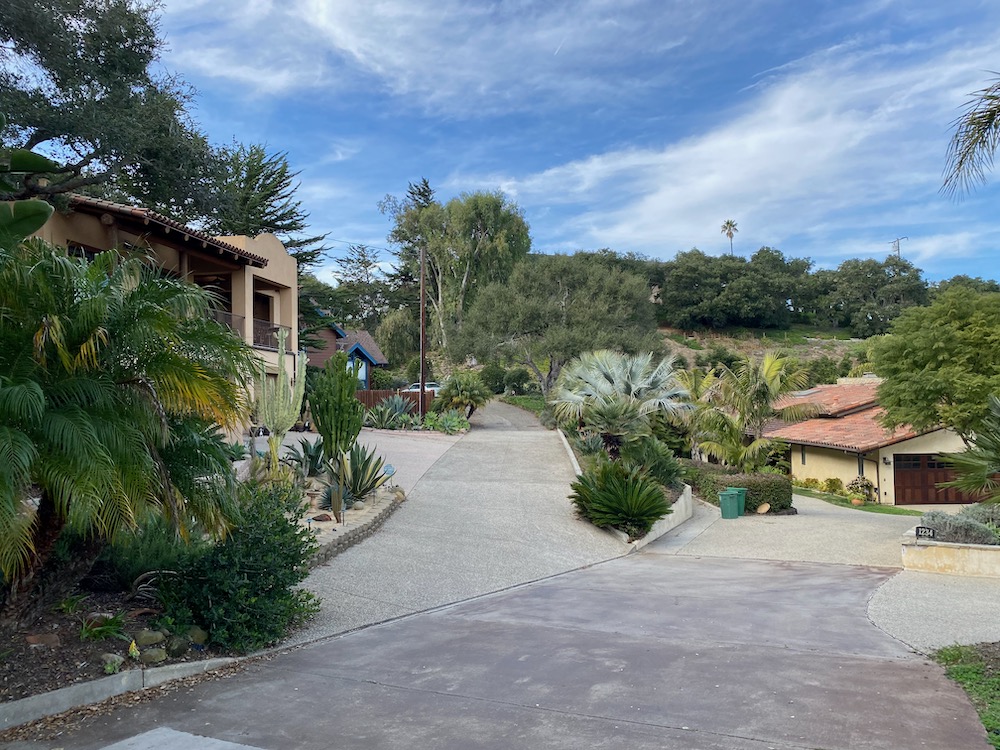
 Kenwood Road continues past the park for a bit, and terminates at the driveway for 1430 Kenwood. The 1.33-acre vacant lot sold in 1999, and a house has subsequently been built, but you can’t see it.
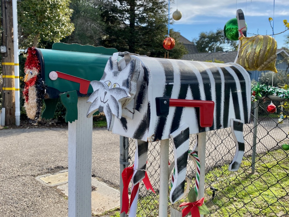
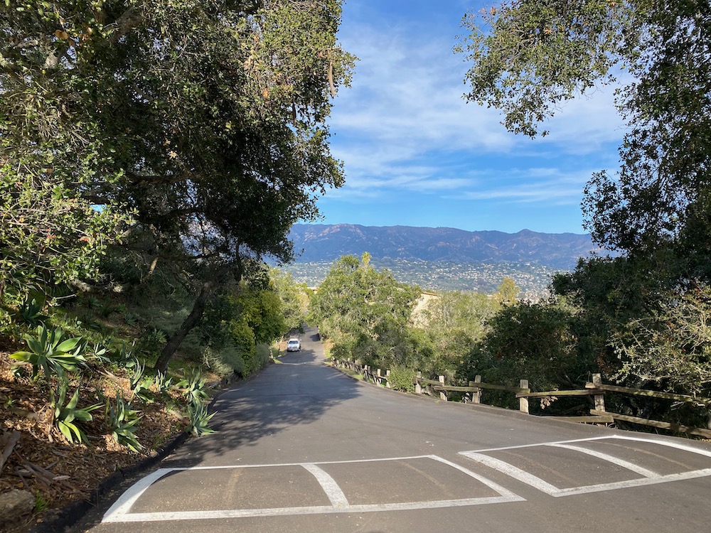
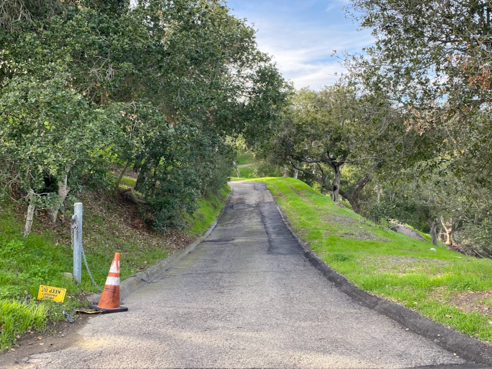
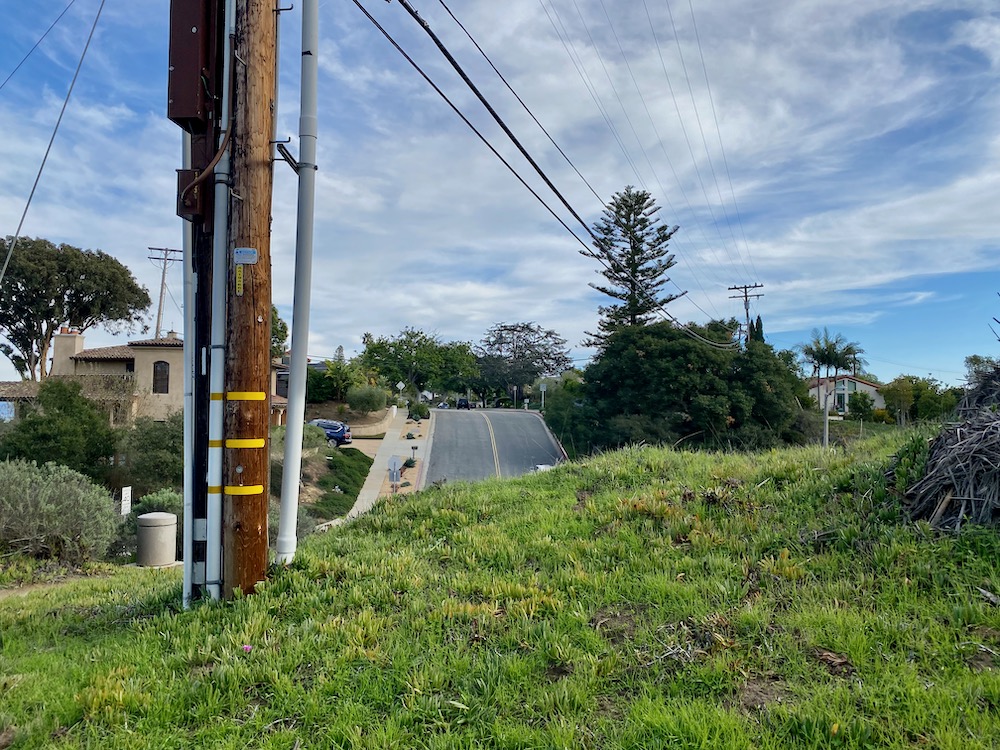
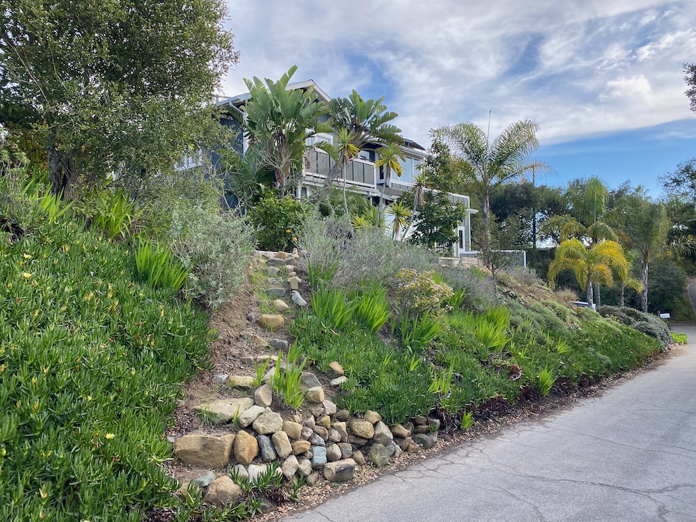
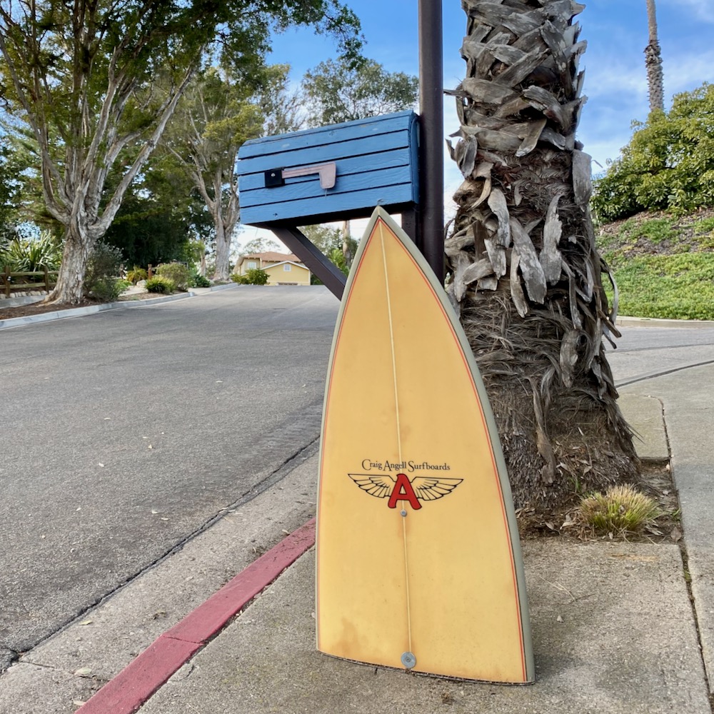
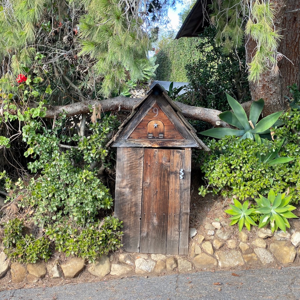
 The streets in this part of town are higgledy-piggledy: many are dead ends, likely due to the hilly terrain; they stop and start up again elsewhere (Kenwood Road, Skyline Way); they make bends so sharp you can go both north and south without turning around (Mountain View Road); and they’re just plain confusing. (Is it crazy to think that Fellowship Circle might intersect with Fellowship Road and/or Fellowship Lane?) All of which is to say that there’s no orderly way to explore. We walked clockwise, which meant taking Kenwood Road to Fellowship Road to part two of Kenwood Road. A whimsical mailbox at the outset was a good omen, and I got a kick out of the squiggly driveway—it’s sort of like a self-administered drunk-driving test.
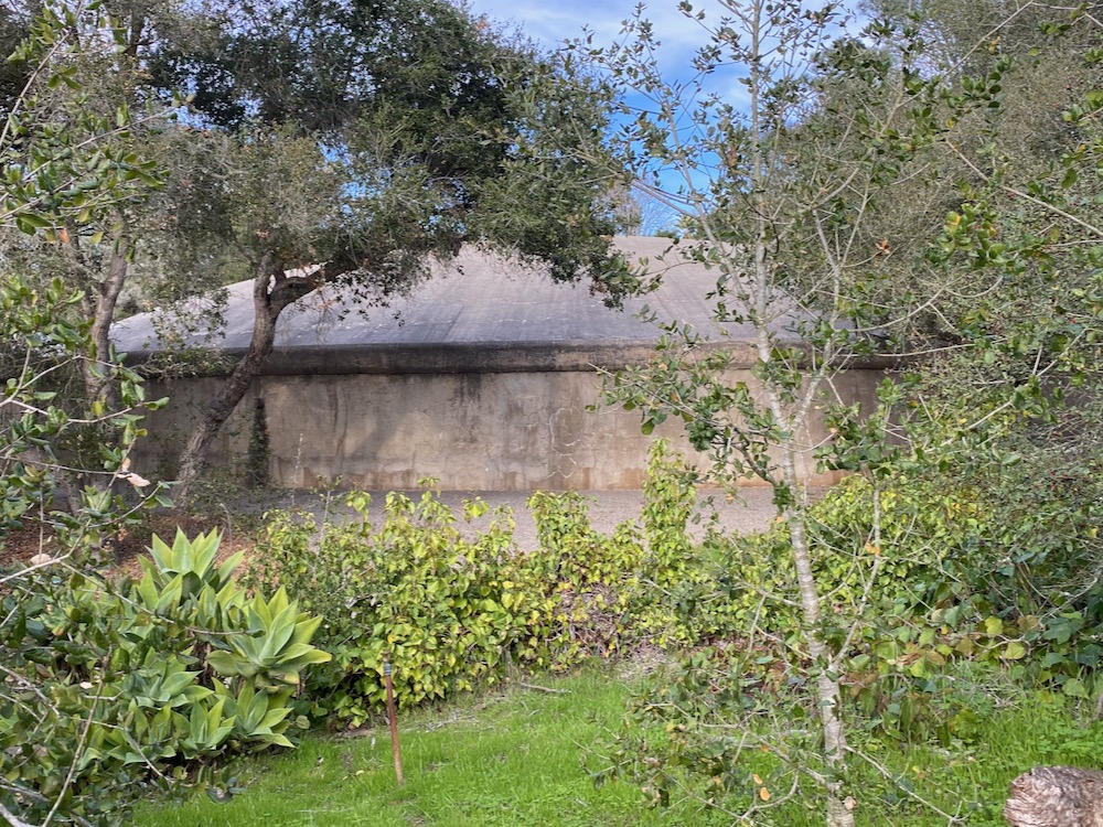
 The concrete dome at the intersection of Kenwood Road, Fellowship Road, and Fellowship Lane looks like it must be related to water. Sure enough, a city rep later confirmed that the facility includes a reservoir that’s not in service and a pump station.
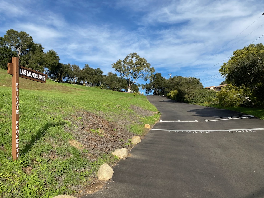
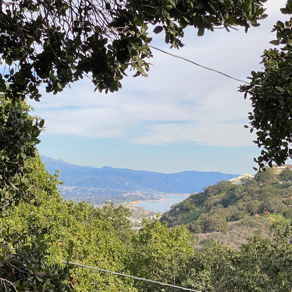
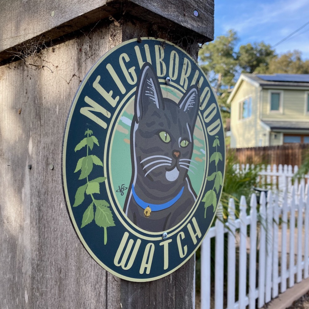
 On these walks, I’m extremely aware of my privilege—as a white man, I can often wander at whim without worrying about my safety. And with L. by my side, I felt even unlikelier to be chased away by the Neighborhood Watch. While I’m wary of private lanes and I avoid shared driveways, L. had no such qualms, so we marched right up Los Manos Lane, which extends off the complex intersection of Kenwood Road and Mountain View Road. The reward for our boldness was nice views of the back of TV Hill and the mountains.
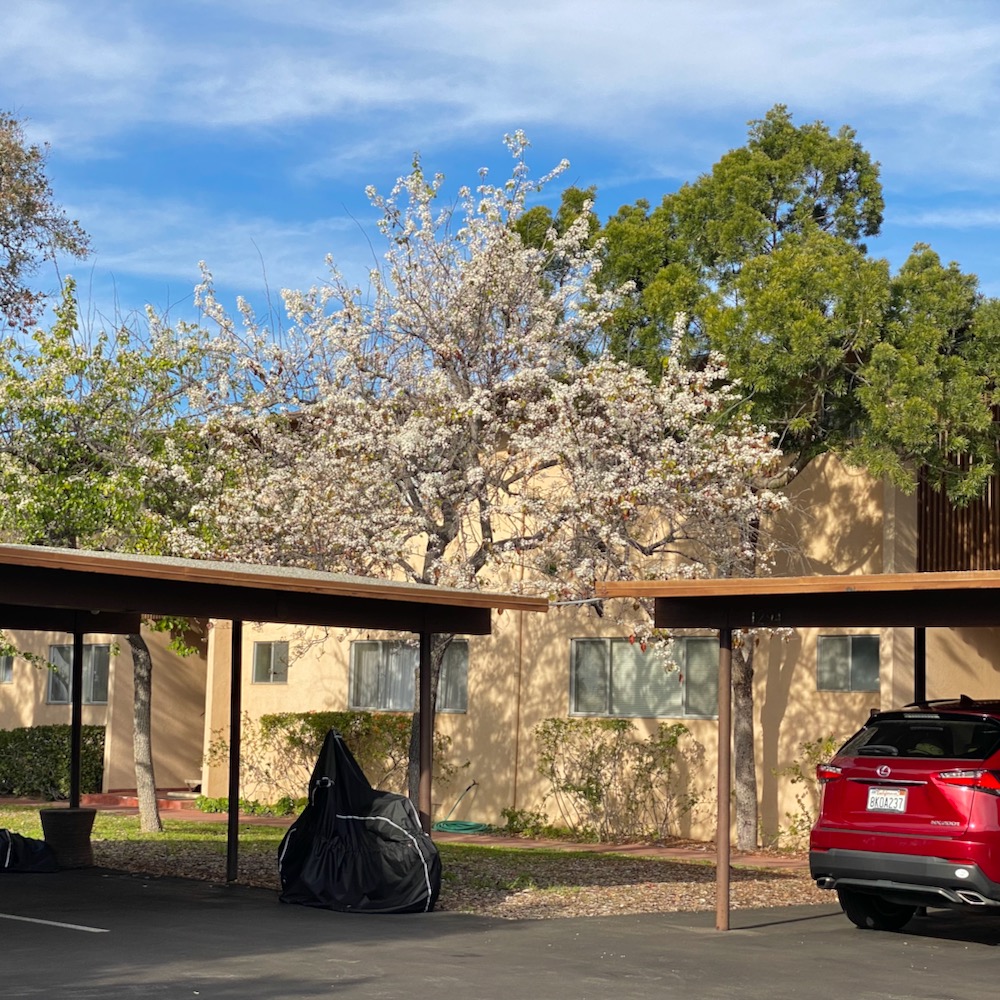
 L. wanted to check out the driveway pictured below, but I drew the line, tempting as it was. We continued on, pausing for a peek at the ocean, until we reached the Los Manos Apartments. The architecture is drab, but the views must be sublime. This being Santa Barbara, there was a tree in full spring bloom.
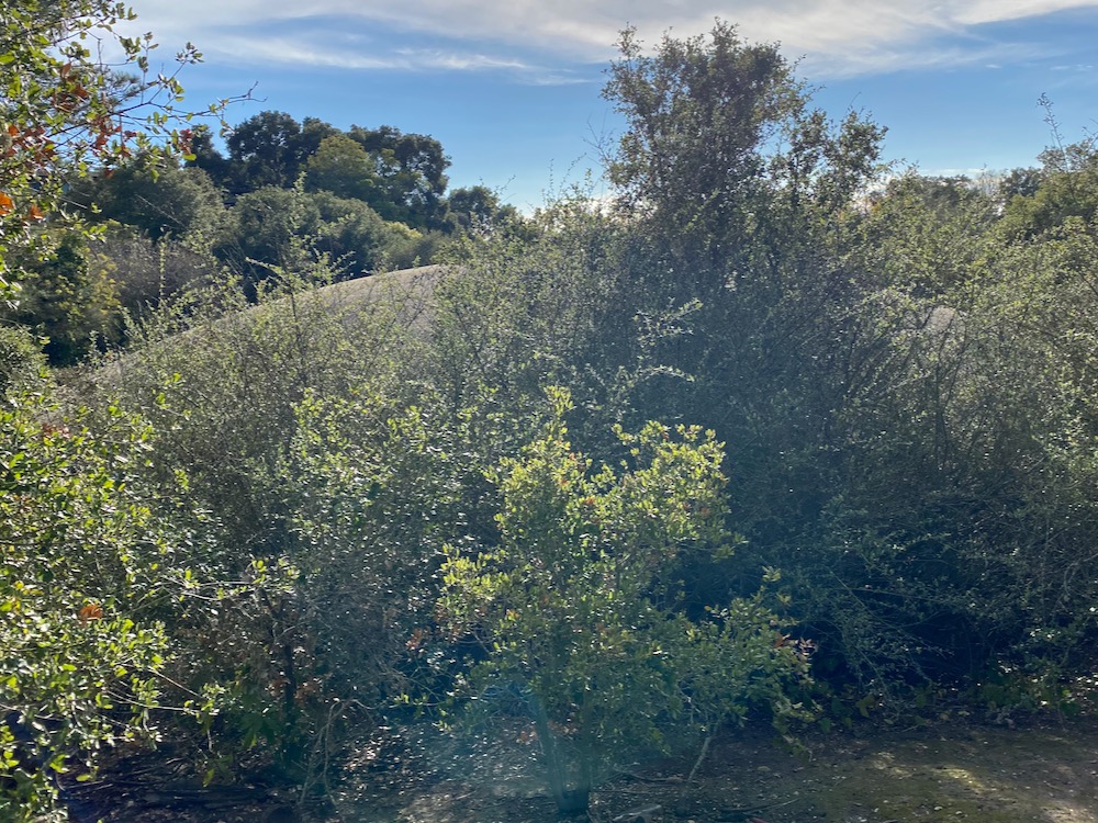
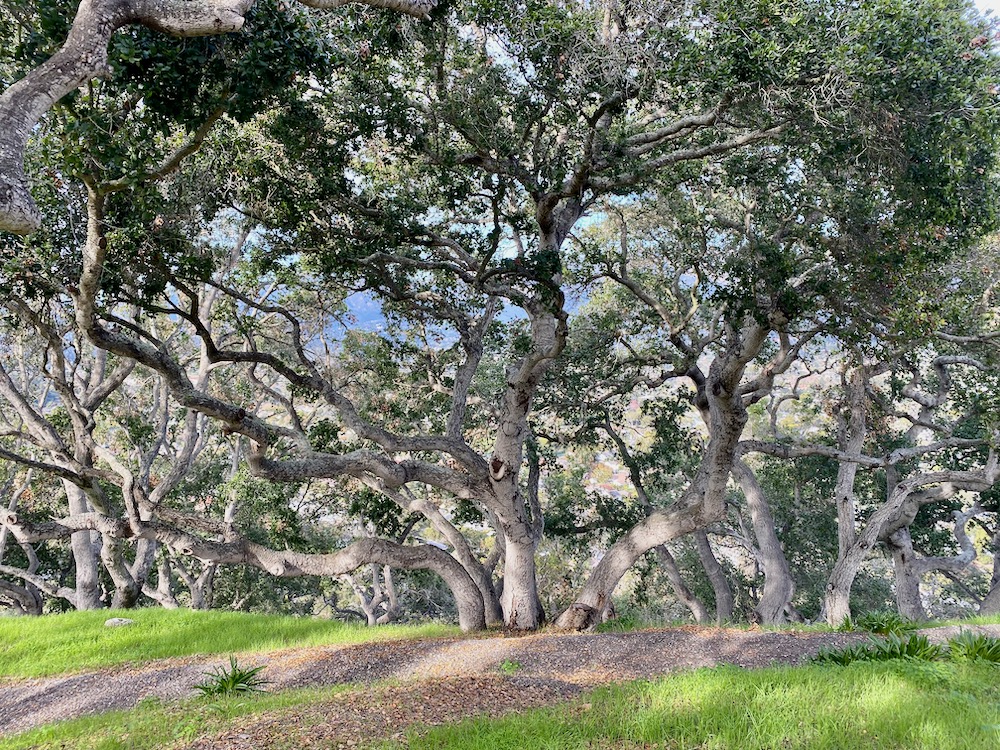
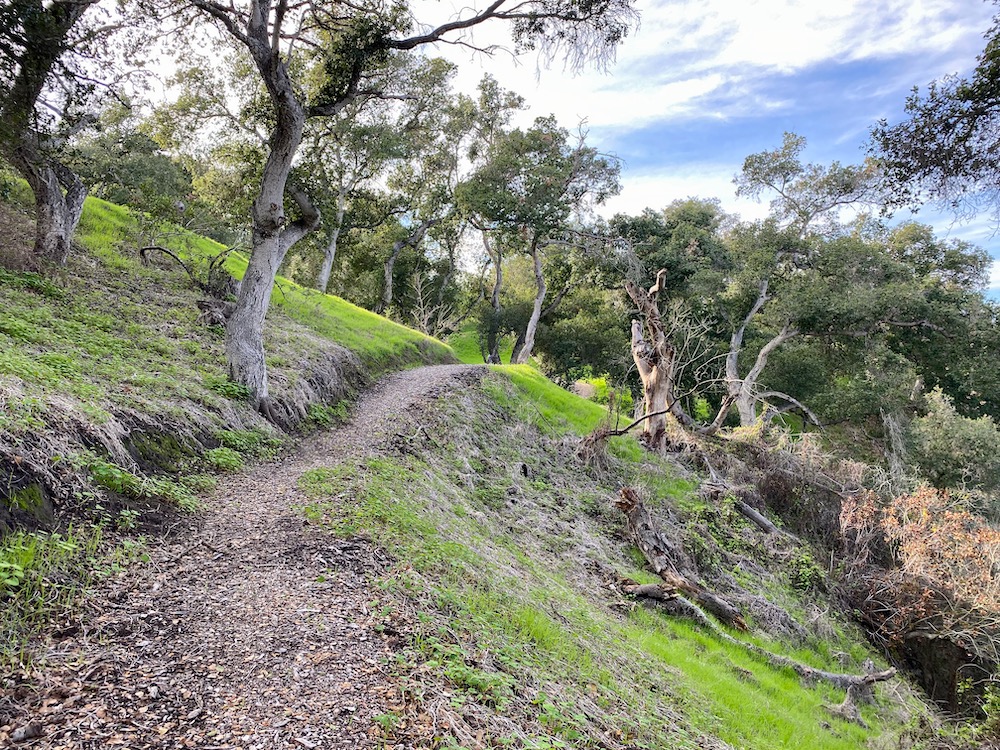
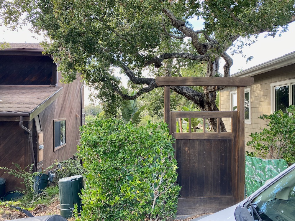
 We briefly explored the trail that meanders around the hillside and among beautiful oaks, but its origin and terminus remain unknown. Upon our reemergence at the apartment complex, a resident gave us grief for trespassing. Luckily, we were on our way out.
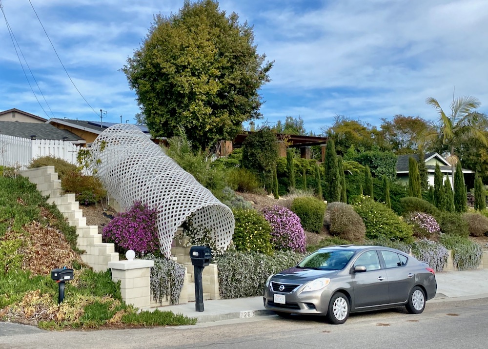
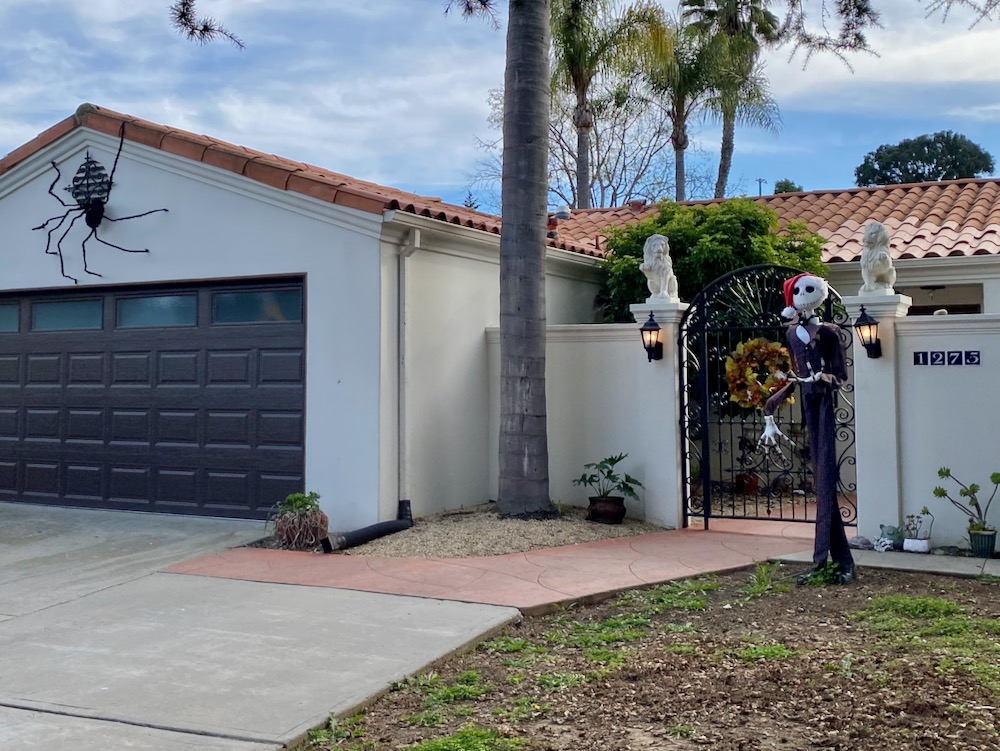
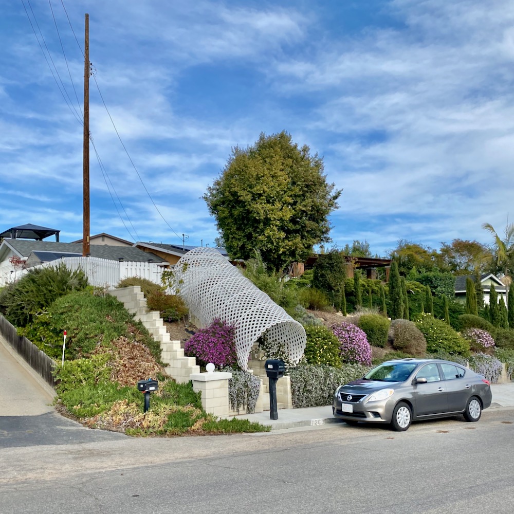
 You have to admire the efficiency of the Mountain View Road homeowner who merges Halloween and Christmas decorations. And I’d love to know the inspiration for the trellis chute. To make a dramatic entrance onto the sidewalk? Ooh, wouldn’t it be great if it was a slide…?
 Off the street known as Bajada—one name, like Cher—is a smaller cul-de-sac, Bajada Grande (which seems counterintuitive until you learn that bajada means “slope”), with a eucalyptus as a focal point. A few houses are clustered at the end of Bajada proper; shared driveways are common around here.
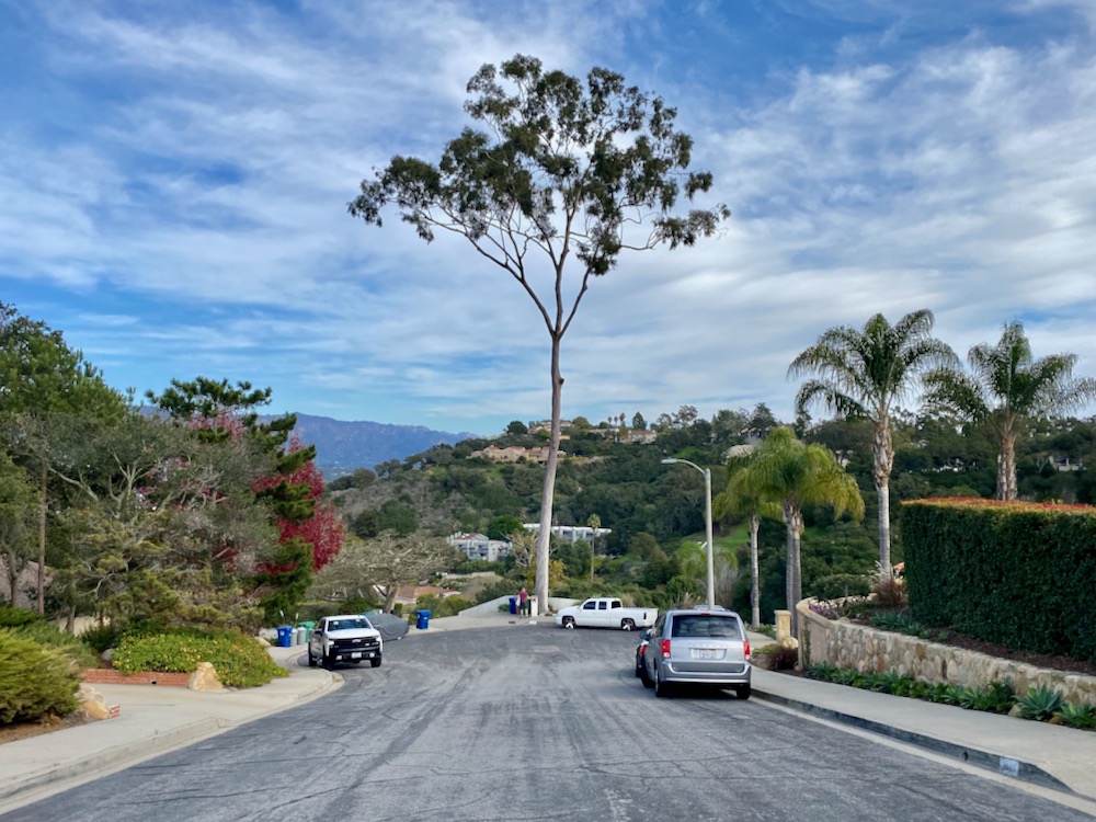
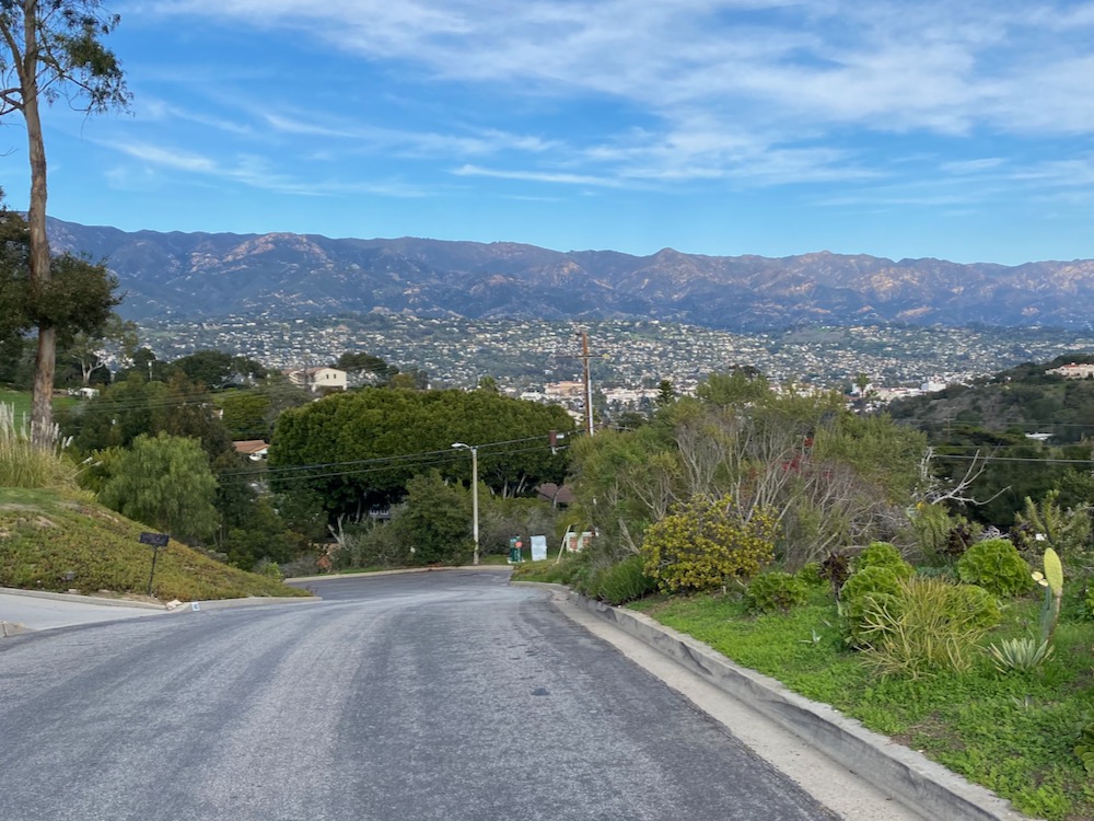
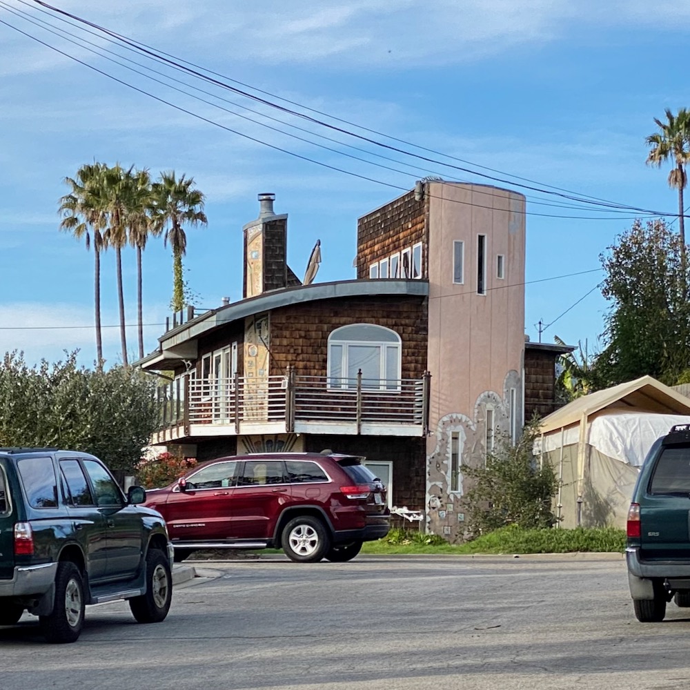
 I don’t how strange this looks in a photo, but while walking on Mountain View Road we were surprised by a street that appears to run into the hillside. It’s La Coronilla Drive, on the other side of Meigs Road. Anyway, Mountain View’s mountain views are as noteworthy as you’d expect, while the ocean views at the southern end make a compelling case for a name change.
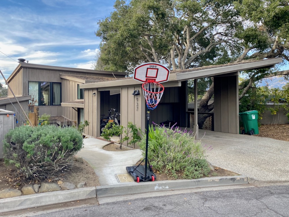
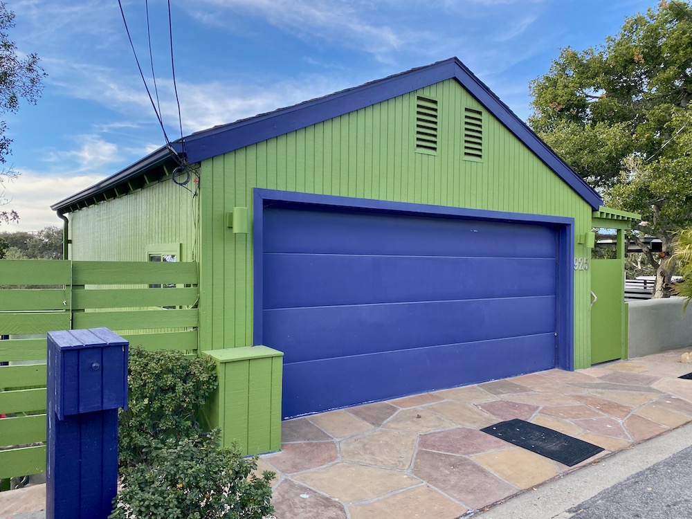
 My favorite street was Calle Cortita, another cul-de-sac. It has a neat mix of architecture—love the jaunty carport and the gate that looks like a torii—and palpable character.
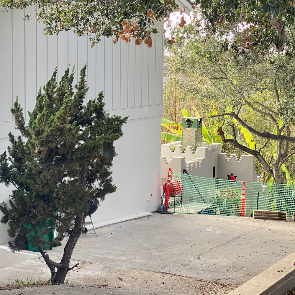
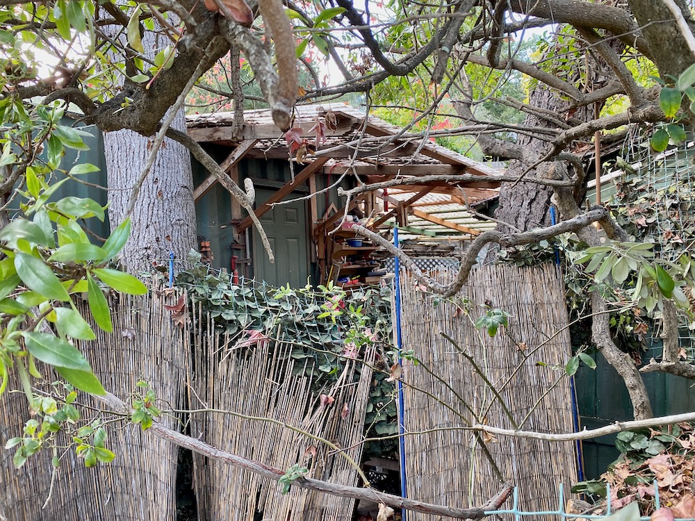
 I try to keep moving when I’m looking at people’s houses, but L. and I had a long gawk at whatever is happening behind this one. A Middle Eastern–style ADU for a traditional board-and-batten house?
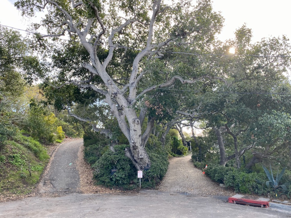
 The driveways at the end of Calle Cortita have a rustic, fork-in-the-road appeal.
 On Fellowship Lane, we ran into our old friend the concrete dome.
 Fellowship Road also has a lot to recommend it. As lovely as my Orange County childhood was, the fact that the houses all look the same there clearly affected me, because I still get turned on by all the quirkiness here.

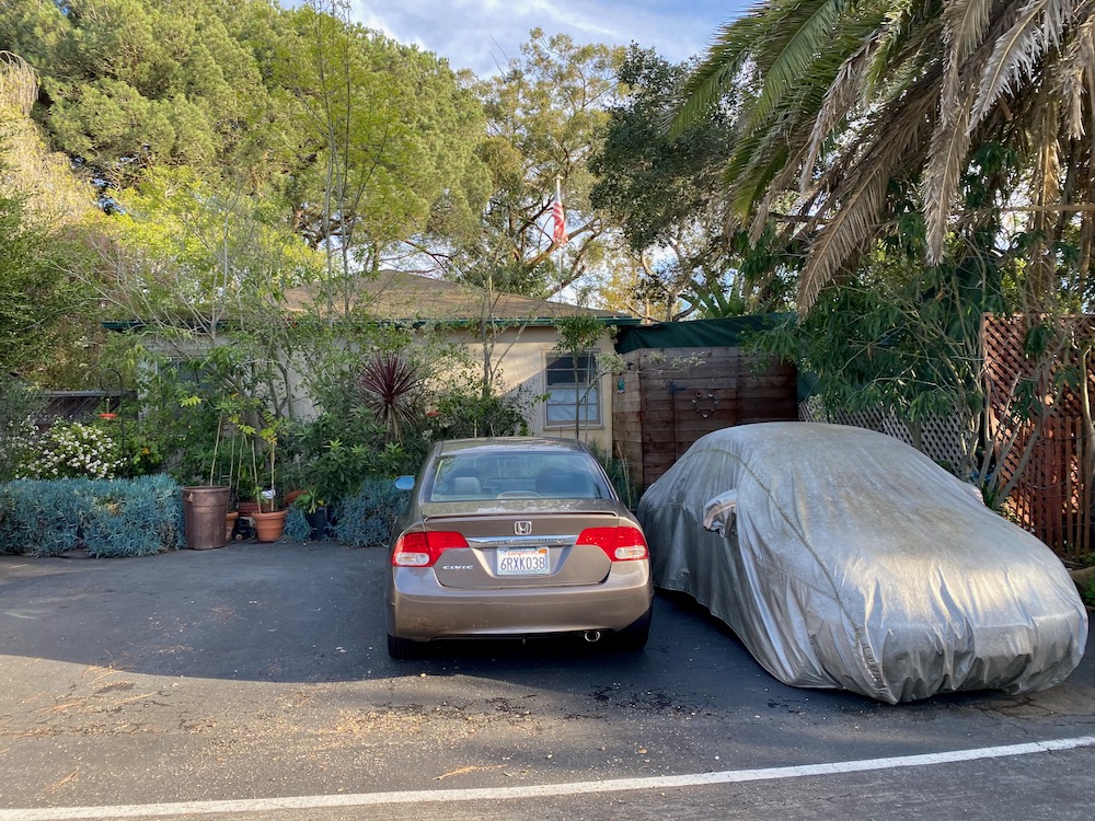
 This next photo is for anyone who has tried to get a dog to pee at an airport.
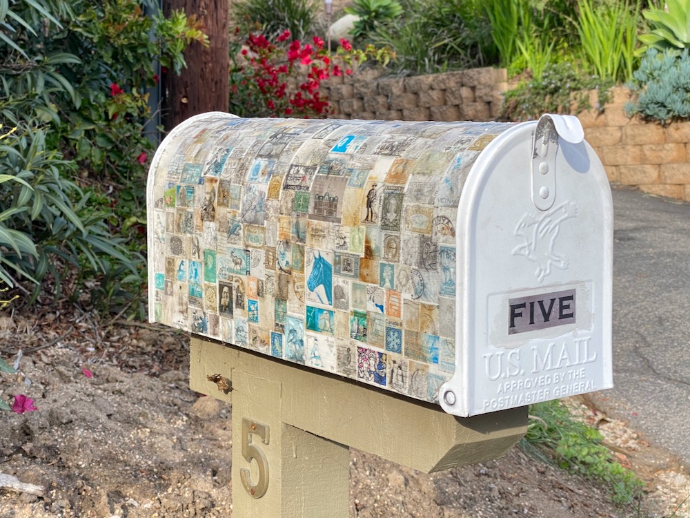
 A trio of idiosyncratic mailboxes near the intersection of Westwood Drive and St. Ann Drive.
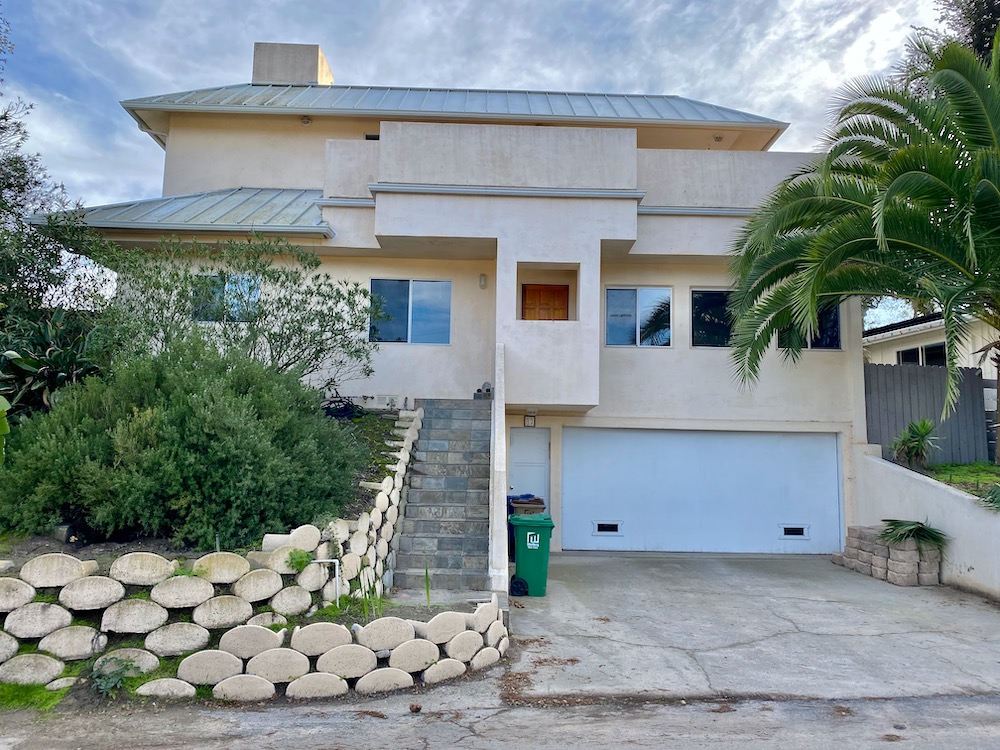
 And at the end of itty-bitty Litchfield Place is what I believe architects call a doozy.
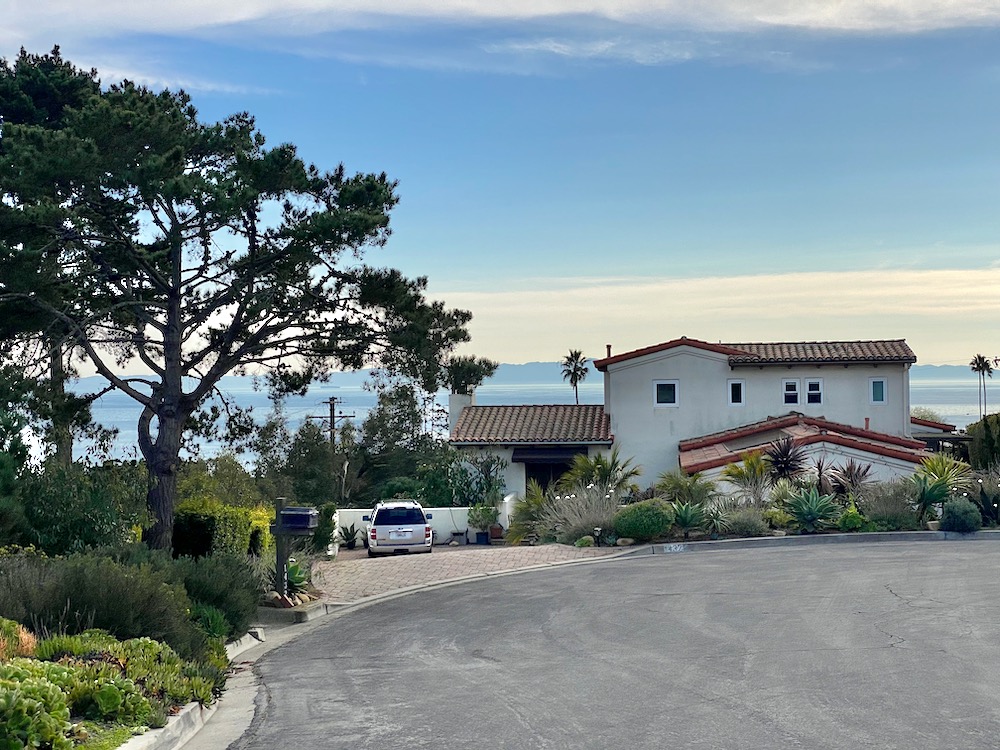
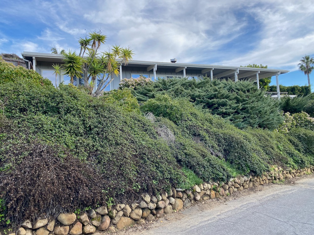
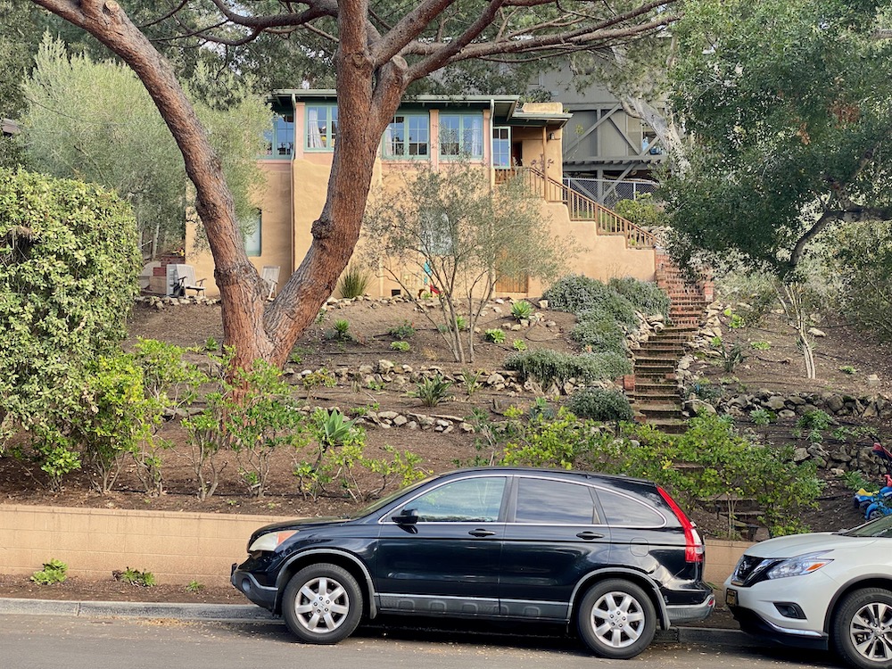
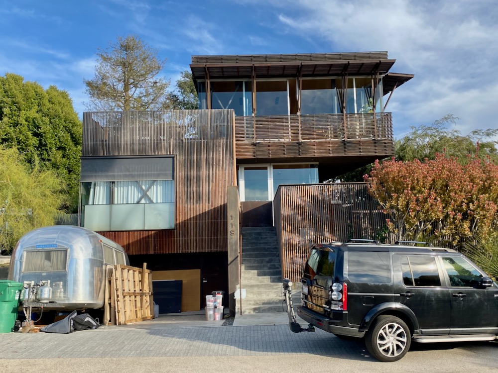
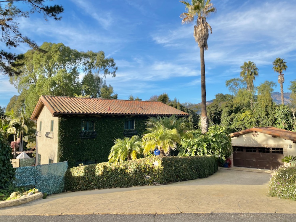
 Finally, we made it to Skyline Circle, the outermost of a pair of concentric circles. I recognized 118 from Shubin Donaldson‘s Instagram; to understand the power of good photography, check out my photos vs. the firm’s professional shots. And we liked the house with the covered deck and the Mediterranean one, if not its gate decorated with trompe-l’oeil ivy mesh.
 Another doozy!
 The inner circle is Fellowship Circle, and it’s not the destination I was hoping for. There isn’t a special sense of place.
 The house in the center of the circle—of both circles—is 15 Fellowship Circle, notable for the loud birdsong emanating from behind the fence. (There has to be an aviary on the premises.) A plaque says the property is a Certified Wildlife Habitat, as designated by the National Wildlife Federation…
 …although the neighbors may have their own ideas about that.
 ················
Walk With Me…
Downtown Santa Barbara
• The Presidio: In the Footsteps of Old Santa Barbara
• Brinkerhoff, Bradley, and Beyond
• Mixing Business and Pleasure in East Beach
• It’s Only Milpas Street (But I Like It)
• The Haley Corridor Is Keeping It Real
• The Small Pleasures of Bungalow Haven
• Is There a Better Neighborhood for a Stroll Than West Beach?
• E. Canon Perdido, One of Downtown’s Best Strolling Streets
Oak Park / Samarkand
• The Side Streets and Alleyways of Upper Oak Park
• The Small-Town Charms of Samarkand
Eucalyptus Hill
↓↓↓ On the Golden Slope of Eucalyptus Hill
• Climbing the Back of Eucalyptus Hill
San Roque
• Voyage to the Heart of the San Roque Spider Web
TV Hill / The Mesa
• West Mesa Is Still Funky After All These Years
• A Close-Up Look at TV Hill
Hidden Valley / Yankee Farm
• An Aimless Wander Through Hidden Valley
• The Unvarnished Appeal of Yankee Farm
Montecito
• The Heart of Montecito Is in Coast Village
• Quintessential Montecito at Butterfly Beach
• Once Upon a Time in the Hedgerow…
• Where Montecito Gets Down to Business (Coast Village Circle)
• In the Heart of the Golden Quadrangle
• Up, Down, and All Around Montecito’s Pepper Hill
• Montecito’s Prestigious Picacho Lane
• School House Road and Camphor Place
Summerland / Carpinteria
• A Stroll in the Summerland Countryside
• Admiring the Backsides of Beachfront Houses on Padaro Lane
• Whitney Avenue in Summerland
Goleta / Isla Vista
• Where the Streets Have Full Names
• The Past Is Still Present in Old Town Goleta
• Social Distancing Made Easy at UCSB
 ················
Sign up for the Siteline email newsletter and you’ll never miss a post.


Recent Comments
Thank goodness its not here, Ricks taking the hideous architecture on tour, it should fit in nicely in TO, they'll just have to paint it… — Alan
I’ve long thought the golf course is ripe for redevelopment. Though I do agree with the slippery slope concerns. That said, I am shocked to… — BW
Thanks for digging in. Seems the issues are all water related. I’m wondering if a preferred design context given the obvious constraints would be composting… — Daniel Meisel
True. But remote, if you want to be in a more urban part of SF. Remind me to tell you about the Kabuki in Japantown,… — Thomas Reynolds
I see you've been slumming it in our old town. The Huntington must have created more rooms; previously it was mostly suites, having formerly been… — Thomas Reynolds
The Presidio hotels in the Presidio are hands down my favs Erik! Big rooms (former army barracks), quiet - fantastic art installations in the hiking… — Leslie Westbrook
Who designed the rediculous improved street/parking configuration on Santa claus lane...there isn't enough room in the north bound lane to drive a car through...parked cars… — BeckyGallup
Their needs to be a better answer then just closing the rest stop. I do the drive almost daily and the amount of people I… — Derek
If you're asking about the Huntington Hotel, the Big Four is indeed the only restaurant and it looked the same to me (but has probably… — Erik Torkells
It's next on the list. — Erik Torkells