

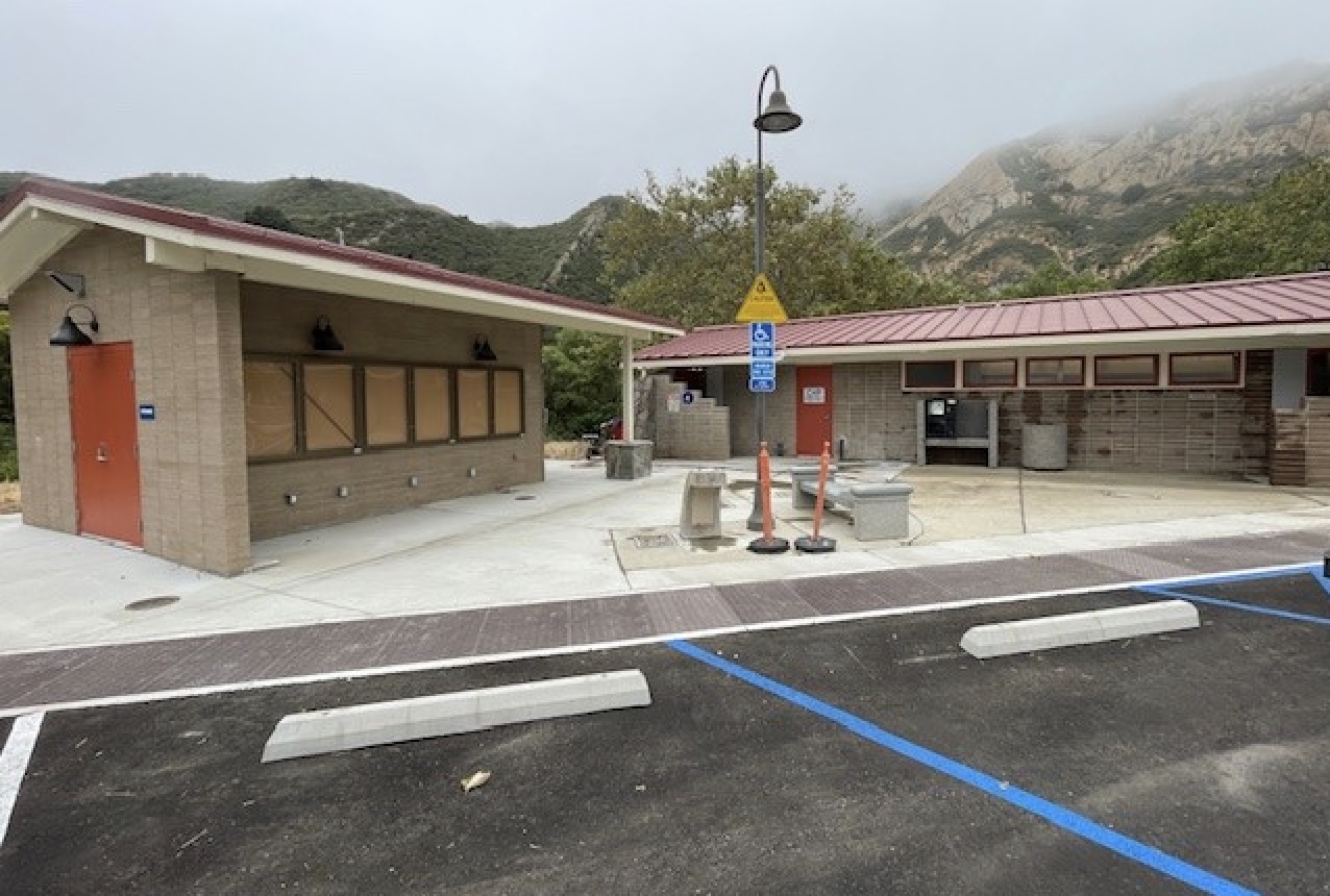
It sure seems as though the Gaviota rest areas on Highway 101 are closed far more frequently than they’re open. I’ve heard about water-supply issues, but this has been going on since Covid, near as I can recall. Any interest in doing one of your delightful deep dives? —D.
They have indeed been closed quite a bit in recent years, but for various reasons. Caltrans sent over this timeline:
As recently as 2013, the Gaviota Rest Area was closed for major plumbing rehabilitation to replace corroded pipes, add water conserving fixtures which significantly reduced irrigated landscaping, and add a crew room at the northbound facility.
The construction of the Gaviota wastewater project resulted in a closure from March 2021 to December 2022.
In January 2023, severe storms caused a major break in the water-distribution pipeline from the source spring to the State Parks treatment plant. Gaviota was closed for pipeline repairs overseen by State Parks, which took almost a year. The shutdown caused major damage to many of the new wastewater components, necessitating added expense and delay to troubleshoot and repair once water was released again by State Parks.
In 2025, Gaviota Rest Area reopened after extensive repairs. However, the rest area is now closed from July through September 2026 by State Parks due to a lawsuit by Gaviota Ranches Conservancy over use of the spring water source for their treatment plant. Despite efforts to discover and activate new water sources, there was no viable alternative source that could allow the rest areas to stay open during this period.
A couple of weeks ago, SFGate ran an article on the topic that had this about the current summer closure:
Fearing endangerment of wildlife and wetlands, the Coastal Ranches Conservancy sued the California State Parks department in 2022, claiming it had abused access to the water spring. Coastal Ranches Conservancy settled the lawsuit last year, and an agreement limits the amount of water State Parks can pull, especially during the summer. […] Caltrans is actively pursuing other sources of water, including asking the Vista Del Mar Union School District if it can tap into its system, according to Doug Campbell, treasurer of the Coastal Ranches Conservancy.
That search is in the early stages, says Caltrans, so get used to holding it between Goleta and Buellton.
Is there a question you’d like investigated? Email [email protected] or text 917-209-6473.
················
Previous Burning Questions:
••• Why is the Cliff Drive overlook closed?
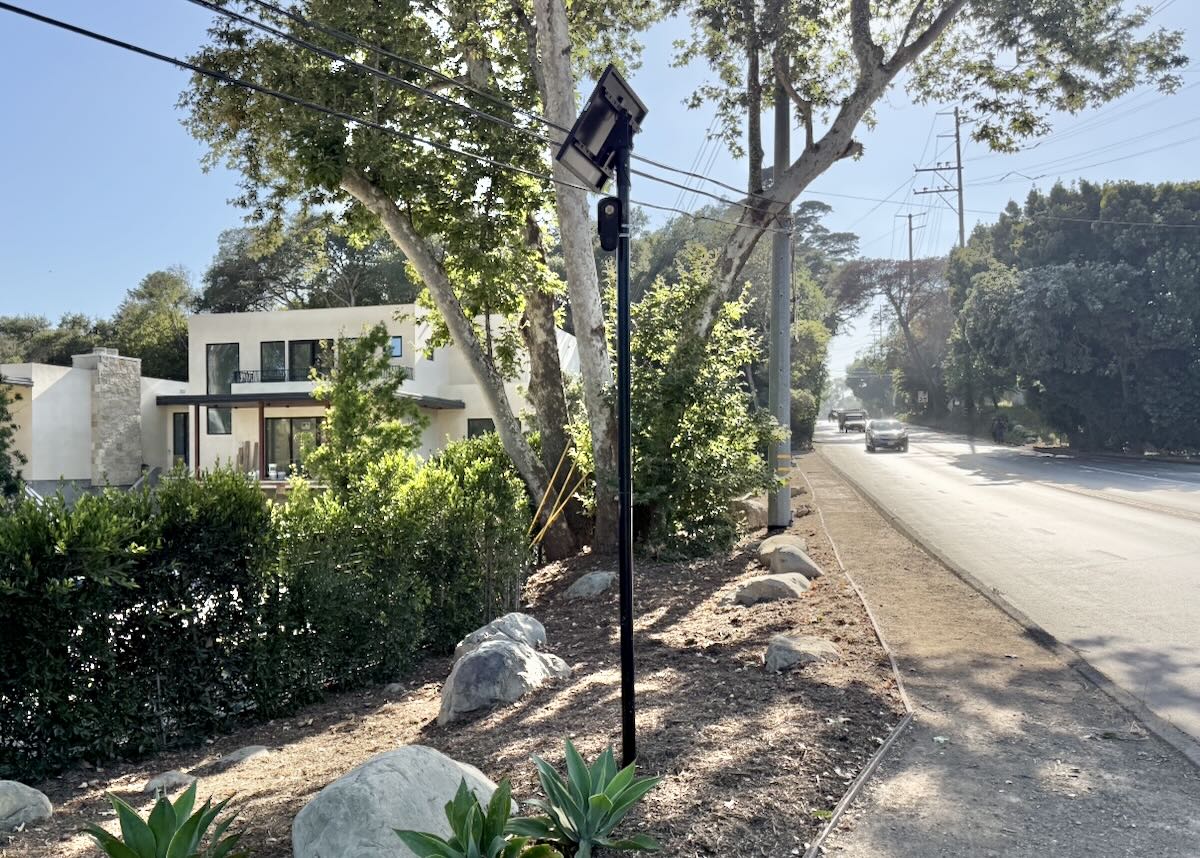
↓↓↓ Who installed this security camera in Montecito?
••• Why are the railroad tracks being expanded along Padaro Lane?
••• Will you explain the plan to adapt the waterfront for climate change?
••• Why did the Rosewood Miramar Beach install gates?
••• How long will this big pipe be at East Beach?
••• Is Cabrillo Boulevard going to be widened under Highway 101?
••• Was there a Fisherman Inn in downtown Santa Barbara?
••• What are those old buildings at the corner of Castillo and Montecito streets?
••• What’s this scaffold structure on Las Positas Road?
••• Why does street striping take so long to happen?
••• Why do rocket launches look the way they do?
••• How is the San Ysidro Debris Basin designed to work?
••• What’s this building on Helena Avenue?
••• What are those old pilings in Arroyo Burro Creek?
••• What’s this building under construction in Toro Canyon?
••• What’s the story behind the seal of the City of Santa Barbara?
••• Butterfly Beach steps, green power lines, SBAG license plates, and more
••• What’s this pole with a flashing blue light?
••• What are these sculptures on the Riviera?
••• What’s the origin story of this fence on Hot Springs Road?
••• Why is part of this West Beach mosaic covered in concrete?
••• What was the Weeping Willow Inn?
••• What does the “S” on certain chimneys stand for?
••• What’s the status of the decommissioning of Rincon Island?
••• What happened to the gas flame on Highway 101?
••• What do we know about the proposed apartment complex at 1 Hot Springs Road?
••• What’s the history of this tower on Ortega Ridge?
••• What’s up with these sculptures on a hillside in Summerland?
••• Is there a master plan for the new walking paths in Montecito?
••• Why are the Thousand Steps still wet?
••• What’s happening with Sola Street?
••• Why is this lot on Milpas Street still vacant?
••• Where else do cruise ships that visit here go?
••• What is this large memorial in Ennisbrook?
••• Who bought the former St. Mary’s seminary—and why?
••• What will happen to the SBPD building when the new building is completed?
••• What’s the story with this house on W. Cota Street?
••• What are those little houses on Santa Barbara Street?
••• What’s the point of this light pole near the freeway?
••• What’s inside Paseo Nuevo’s State Street tower?
••• What’s the point of these markings on Laguna Street?
••• Why is there a giant red shoe off Highway 101?
••• What’s up with the “no e-bike” signs on local trails?
••• Why is Franceschi House in a holding pattern?
••• What’s happening with this derelict house in Summerland?
••• Can you explain how sundowner winds work?
••• Why is there a pressure cooker attached to this utility pole?
••• What’s this concrete ramp thing on East Beach?
••• Why does “USA” get written on the street?
••• What are those poles in the ocean near the Ritz-Carlton Bacara?
••• Are people really allowed to set fires in the middle of Montecito?
••• What’s the story with the half-finished lot next to the Montecito Country Mart?
 ················
Sign up for the Siteline email newsletter and you’ll never miss a post.











Their needs to be a better answer then just closing the rest stop. I do the drive almost daily and the amount of people I see pulled over “watering the flowers,” is disappointing.
Who designed the rediculous improved street/parking configuration on Santa claus lane…there isn’t enough room in the north bound lane to drive a car through…parked cars stick out way to far and there would have been plenty of room if the sidewalk and landscaping was better arranged…..all that construction time was a total waste….
Thanks for digging in. Seems the issues are all water related. I’m wondering if a preferred design context given the obvious constraints would be composting toilets? a la Glenwood Canyon along the I70…