
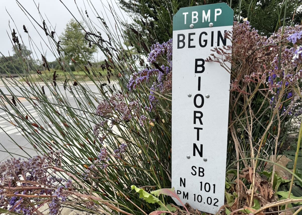
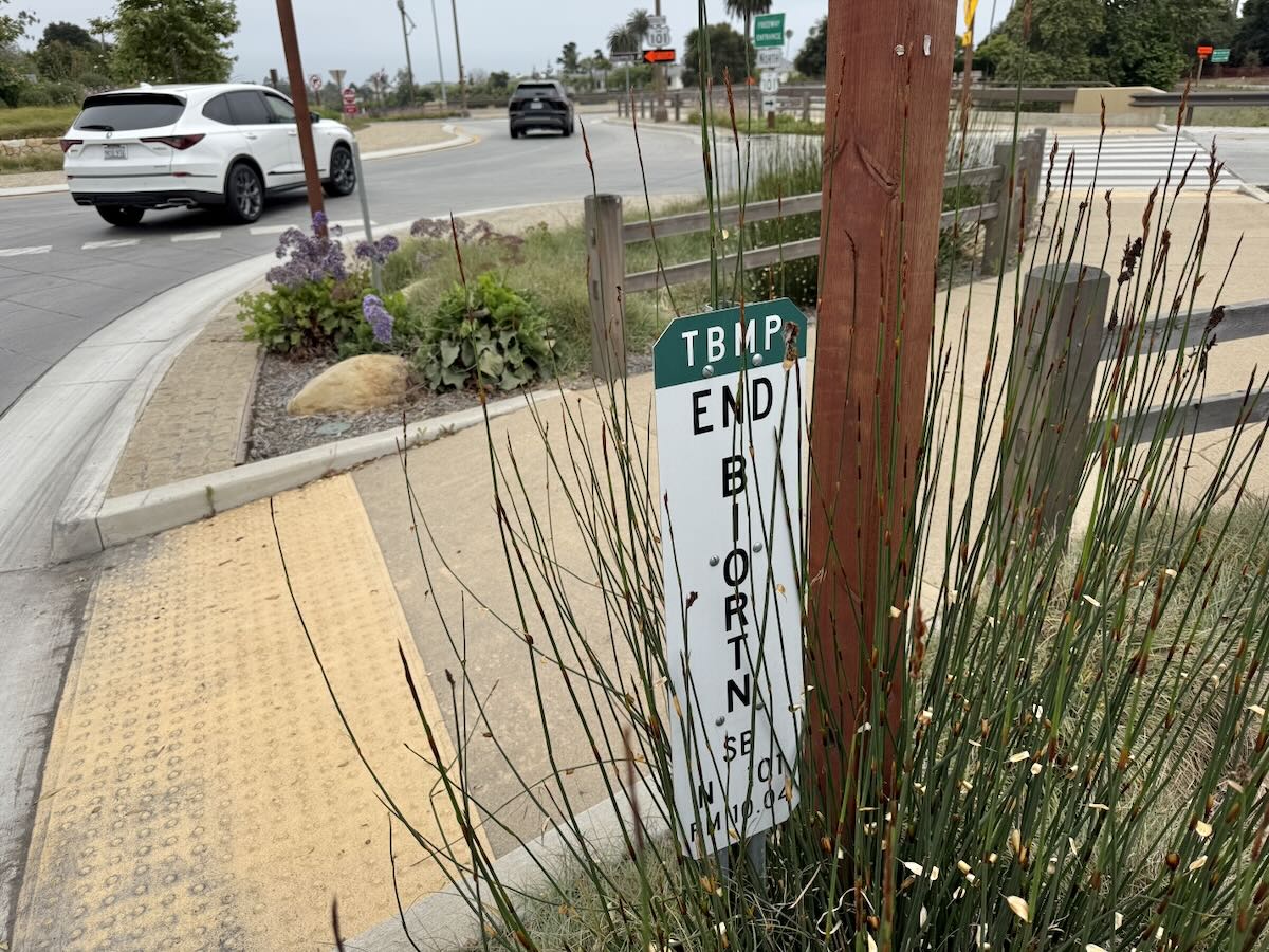
At several sections of the San Ysidro roundabout, there are small signs with markings that are hard to interpret. What are they for? —T.
A little Googling and I learned that TBMP refers to Treatment Best Management Practice, and BIORTN to the bioretention of storm water, so one can deduce that the landscaping was designed to make use of stormwater drainage for irrigation. (There’s more in this document from the Environmental Protection Agency.) But the rest of the markings remained a mystery.
Representatives for the organizations overseeing the Highway 101 construction confirmed that there’s a lot of stormwater retention and drainage built into the roundabout design, including bioretention basins under the landscaping, and suggested that I contact the county of Santa Barbara, which owns the roundabout.
The county’s Public Works department said that maintenance for the San Ysidro roundabout is under the jurisdiction of Caltrans and Granite Construction, but explained that “SB” stands for Santa Barbara County, “N 101” for northbound Highway 101, and “PM” for postmile. “A post mile marker designates the distance between that point and the highway, so this sign is 10.02 miles away from the county line.” There’s more on postmiles on the Caltrans website.
Caltrans, meanwhile, confirmed that each sign is specific to its location, and that “begin” and “end” are to alert anyone who might end up working on the area. “The construction of these features is often required by permits and locally adopted building code standards that address stormwater standards for treating runoff. Often, they carry specific future maintenance requirements to keep them effective. Sometimes these features are not always that obvious to all people. Therefore, these paddle signs inform anyone working in the area in the future, who may not otherwise know the existence of or purpose of the planter.”
 Is there a question you’d like investigated? Email [email protected] or text 917-209-6473.
················
Previous Burning Questions:
••• Can anything be done about biting midges?
••• How come the Gaviota rest areas are closed so often?
••• Why is the Cliff Drive overlook closed?
••• Who installed this security camera in Montecito?
••• Why are the railroad tracks being expanded along Padaro Lane?
••• Will you explain the plan to adapt the waterfront for climate change?
••• Why did the Rosewood Miramar Beach install gates?
••• How long will this big pipe be at East Beach?
••• Is Cabrillo Boulevard going to be widened under Highway 101?
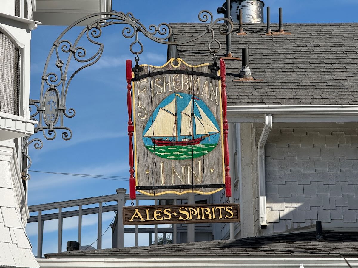
↓↓↓ Was there a Fisherman Inn in downtown Santa Barbara?
••• What are those old buildings at the corner of Castillo and Montecito streets?
••• What’s this scaffold structure on Las Positas Road?
••• Why does street striping take so long to happen?
••• Why do rocket launches look the way they do?
••• How is the San Ysidro Debris Basin designed to work?
••• What’s this building on Helena Avenue?
••• What are those old pilings in Arroyo Burro Creek?
••• What’s this building under construction in Toro Canyon?
••• What’s the story behind the seal of the City of Santa Barbara?
••• Butterfly Beach steps, green power lines, SBAG license plates, and more
••• What’s this pole with a flashing blue light?
••• What are these sculptures on the Riviera?
••• What’s the origin story of this fence on Hot Springs Road?
••• Why is part of this West Beach mosaic covered in concrete?
••• What was the Weeping Willow Inn?
••• What does the “S” on certain chimneys stand for?
••• What’s the status of the decommissioning of Rincon Island?
••• What happened to the gas flame on Highway 101?
••• What do we know about the proposed apartment complex at 1 Hot Springs Road?
••• What’s the history of this tower on Ortega Ridge?
••• What’s up with these sculptures on a hillside in Summerland?
••• Is there a master plan for the new walking paths in Montecito?
••• Why are the Thousand Steps still wet?
••• What’s happening with Sola Street?
••• Why is this lot on Milpas Street still vacant?
••• Where else do cruise ships that visit here go?
••• What is this large memorial in Ennisbrook?
••• Who bought the former St. Mary’s seminary—and why?
••• What will happen to the SBPD building when the new building is completed?
••• What’s the story with this house on W. Cota Street?
••• What are those little houses on Santa Barbara Street?
••• What’s the point of this light pole near the freeway?
••• What’s inside Paseo Nuevo’s State Street tower?
••• What’s the point of these markings on Laguna Street?
••• Why is there a giant red shoe off Highway 101?
••• What’s up with the “no e-bike” signs on local trails?
••• Why is Franceschi House in a holding pattern?
••• What’s happening with this derelict house in Summerland?
••• Can you explain how sundowner winds work?
••• Why is there a pressure cooker attached to this utility pole?
••• What’s this concrete ramp thing on East Beach?
••• Why does “USA” get written on the street?
••• What are those poles in the ocean near the Ritz-Carlton Bacara?
••• Are people really allowed to set fires in the middle of Montecito?
••• What’s the story with the half-finished lot next to the Montecito Country Mart?
 ················
Sign up for the Siteline email newsletter and you’ll never miss a post.










With the predicted Super El Nino this winter, I think a sign saying, “Salsipuedes” would be just as good.