••• On March 5, Parker Clay is having a warehouse sale at 495 Pine Avenue in Goleta. It’s from 8 a.m. to 2 p.m., and Dang Burger will be selling burgers starting at 11 a.m. Also, on March 12, the leather-goods company is opening a store in Denver.
 ••• The city sent out a couple of photos of the sunflower sculptures to be installed temporarily outside the Santa Barbara Museum of Art. I don’t think the human body is part of it.
••• The grand opening of Off the Grid Fitness, an “elite personal training studio” at 815 De La Vina (Canon Perdido/De La Guerra), is March 5 from 2 p.m. to 6 p.m. “Everyone is invited—we would love to meet members of the community, other gym owners, trainers, massage therapists, local businesses owners—everyone! If you are looking for a change of scenery, looking for a trainer, looking to meet people, meet us—this event is for you! Mony’s will be parked at OTG helping us fuel your bellies with an open tab (first come first serve). Drinks, fun cocktails, and wine also provided. Prizes and giveaways and raffle entry opportunities available to anyone who stops in.”
••• To accompany its exhibit of artwork by hospital enthusiast Huguette Clark, the Santa Barbara Historical Museum is hosting a talk by Empty Mansions author Bill Dedman on March 16. Register here.
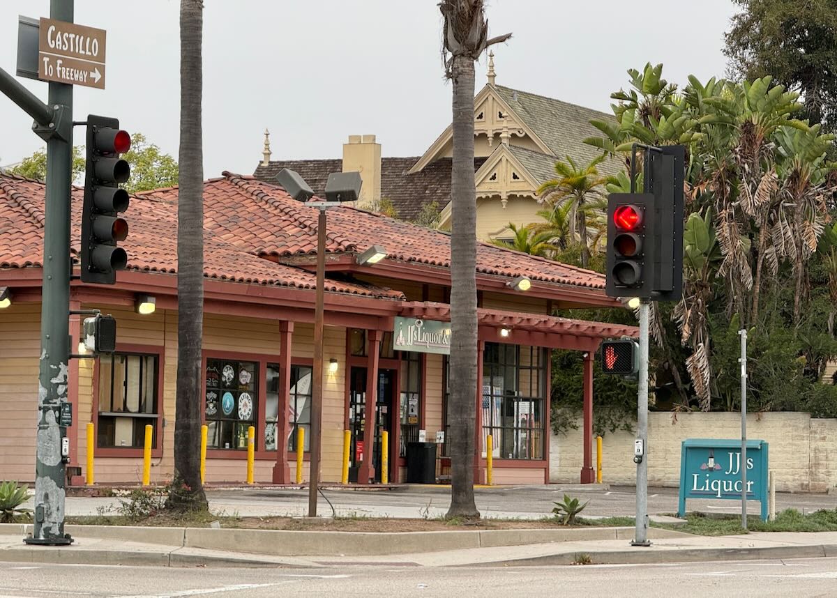
••• S. asked about the Hermosillo Road off-ramp on Highway 101, which has been closed longer than the promised 60 days. According to Caltrans, we can expect it back this coming Tuesday, March 1, but bear in mind that “special provisions of the contract allow the contractor to temporarily close the ramp during the day from 9 a.m. to 3 p.m. as well as night from 9 p.m. to 5 a.m.” And the Butterfly Lane pedestrian undercrossing isn’t expected to reopen till sometime this summer.
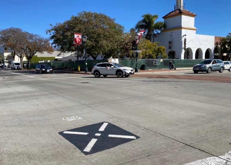
••• When I saw this marking on the pavement at the intersection of State and Gutierrez, I thought it must be for surveying. But the city’s Public Works department said it’s a marking for GIS mapping, and that the city was not involved. (And that’s all I could get out of them.) Perhaps this explanation from National Geographic makes sense to you—although I wouldn’t be surprised if the X was actually related to bird drones.
A geographic information system is a computer system for capturing, storing, checking, and displaying data related to positions on Earth’s surface. GIS can show many different kinds of data on one map, such as streets, buildings, and vegetation. This enables people to more easily see, analyze, and understand patterns and relationships.

················
Sign up for the Siteline email newsletter and you’ll never miss a post.


“Hospital enthusiast Huguette Clark” ?